Lisbunny, Hall House, Co. Tipperary.

Location – On the R445, East of Nenagh, directly behind the large graveyard on this road.  
OS: R 892 724 (map 59)
Longitude: 8° 9' 37.38" W
Latitude: 52° 51' 55.64" N

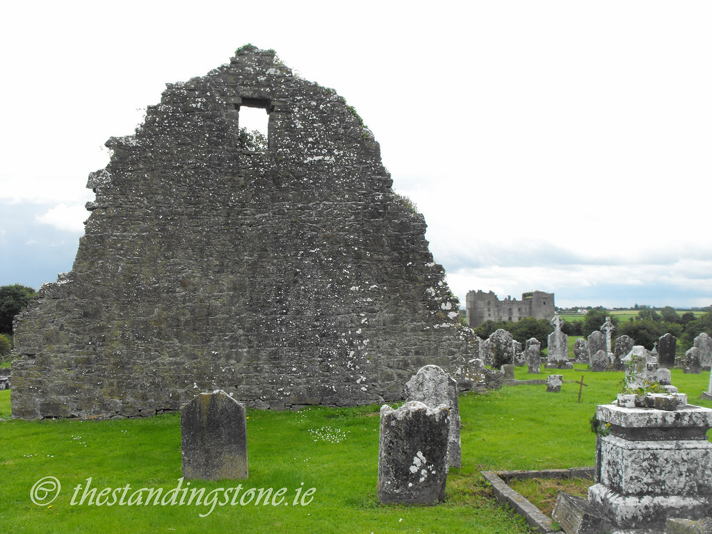
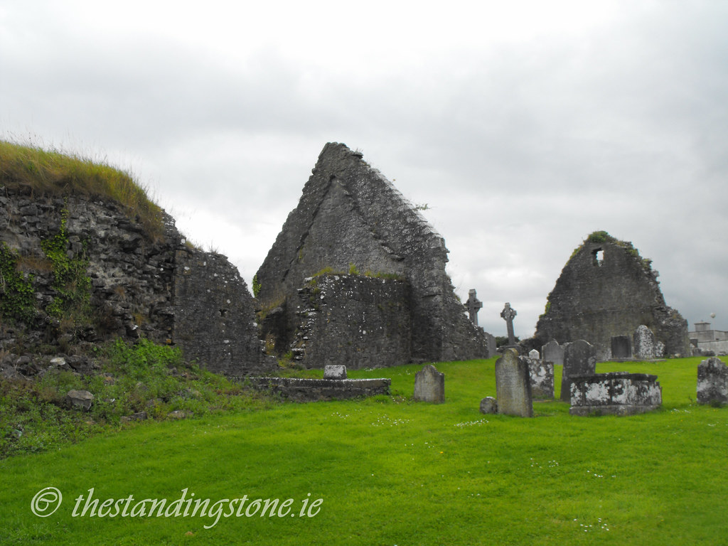
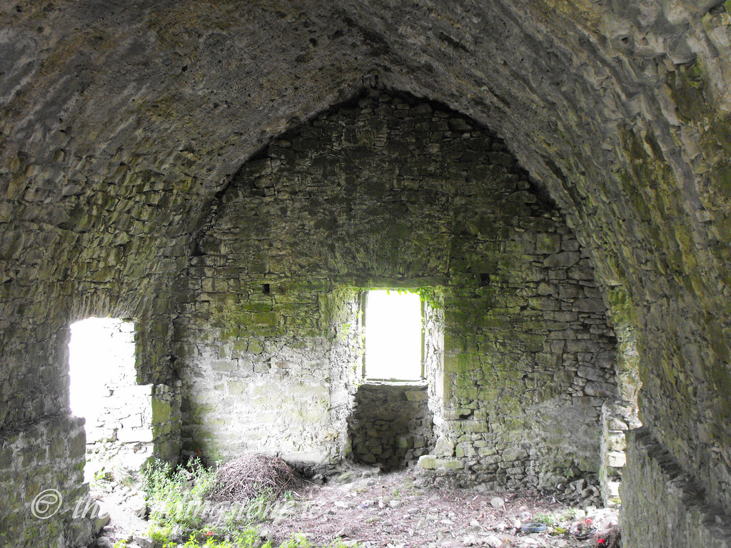
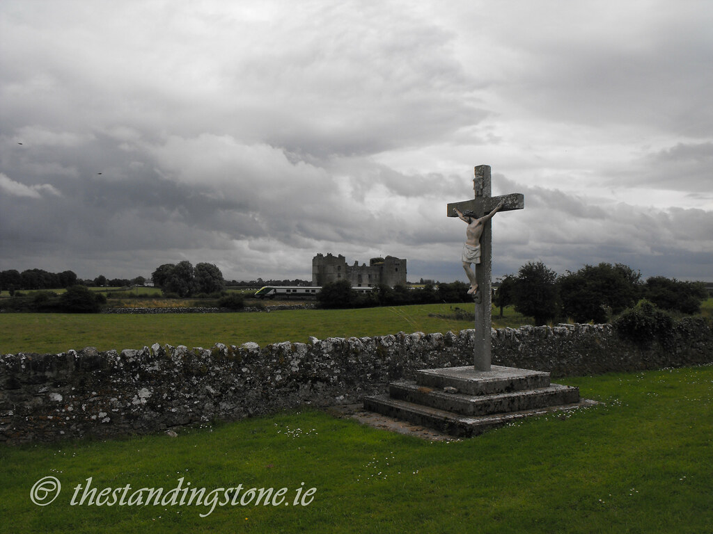
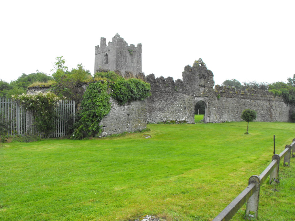
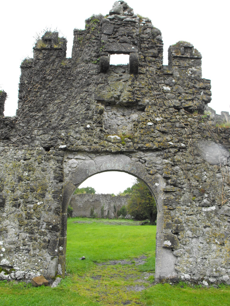
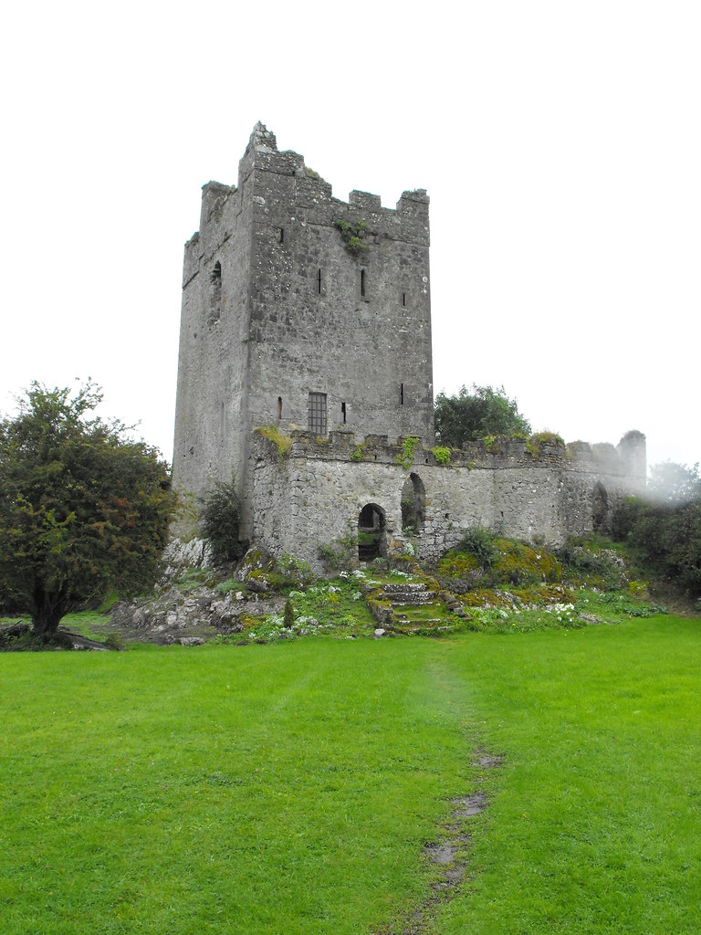
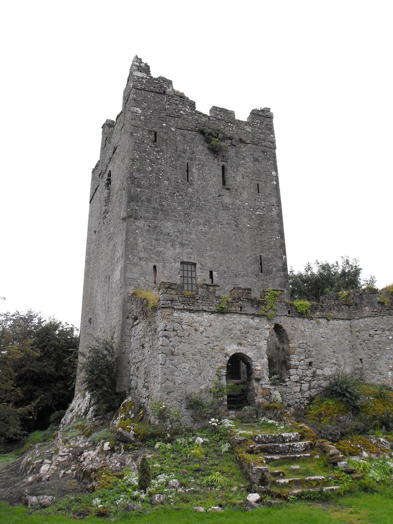
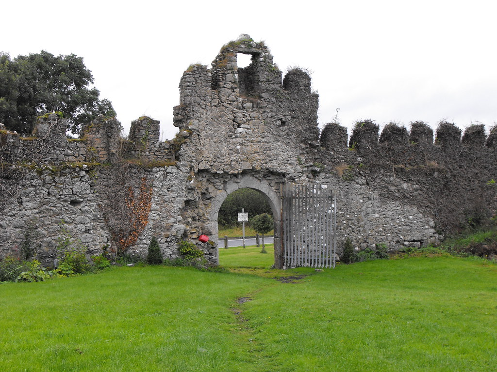
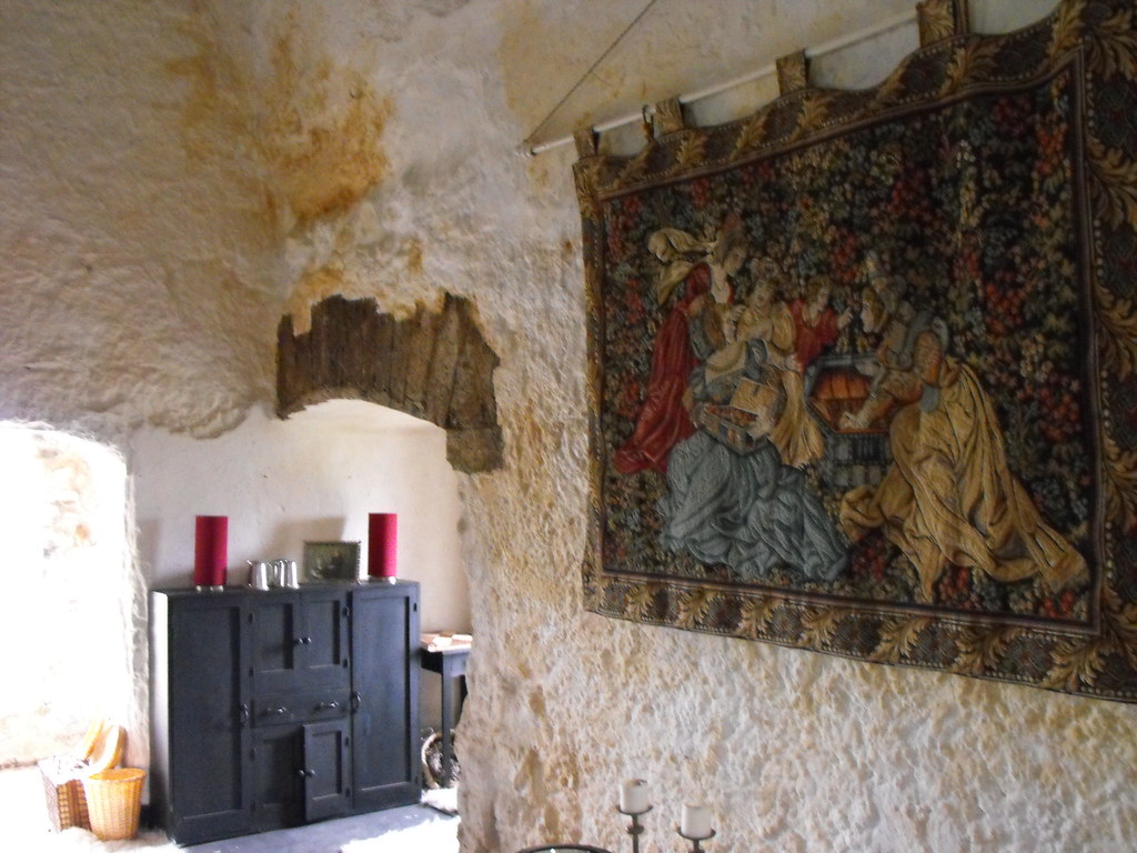
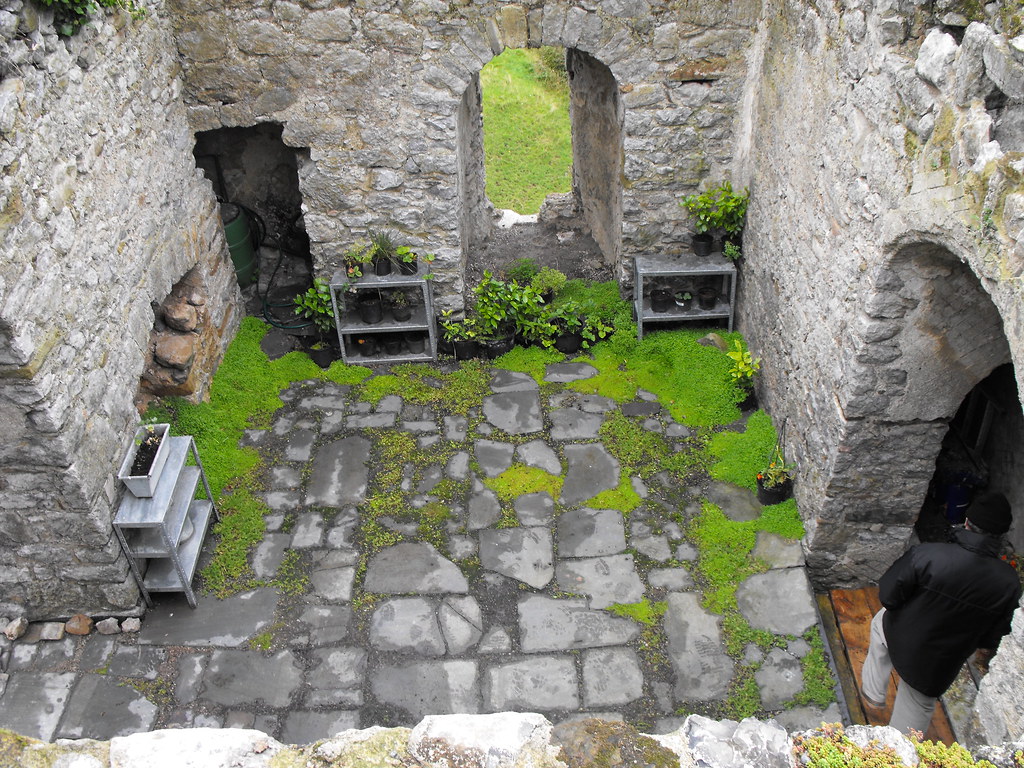
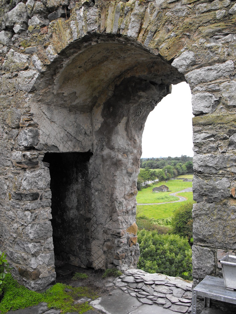
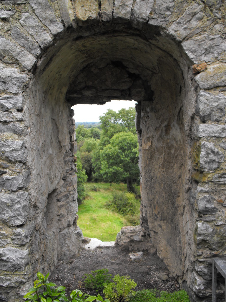
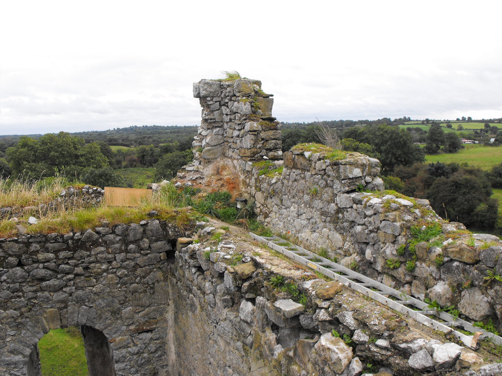
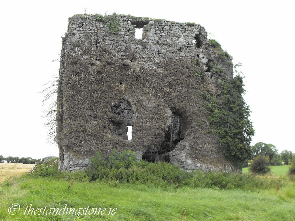
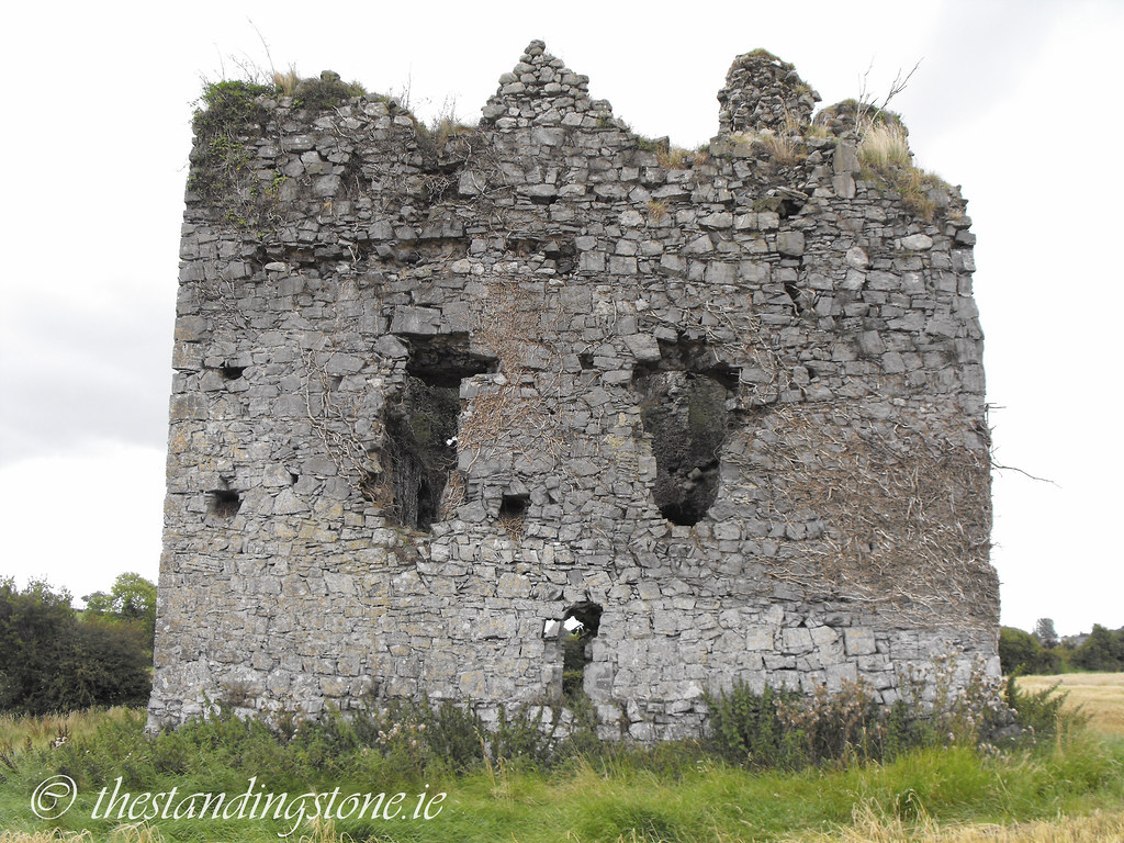
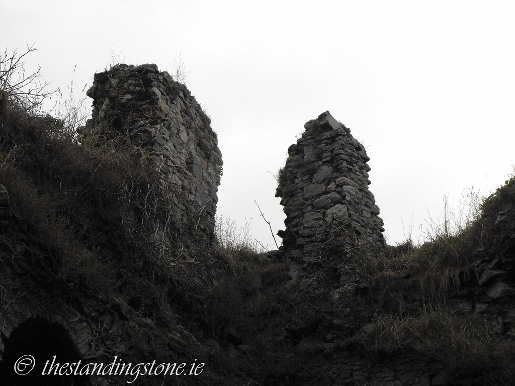
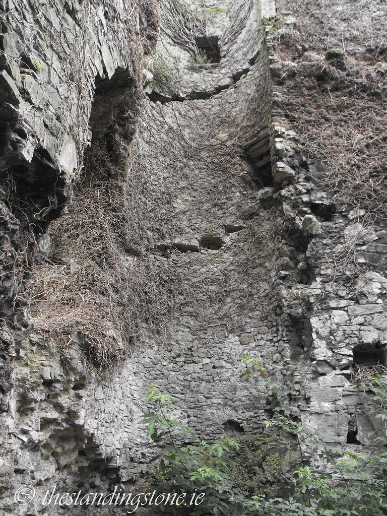
Description and History – Located on the banks of the Ollatrim river this hall house can be seen from the nearby church.  In the civil survey of 1654-56 the house was listed as ruined and considering that it has been in a ruined state for nearly 400 years it is in good condition.   The hall house was built in the late 13th or early 14th century and there is evidence of some 16th and 17th century alterations. The N-S wall is nearly 12m in length while the E-W wall is nearly 17m in length.  No floors remain but the house us two storeys high and the floors would have been carried on wooden beams embedded into the wall.  The spiral staircase was wooden and no longer in situ.  There is evidence of a wall walk level that is now destroyed.  

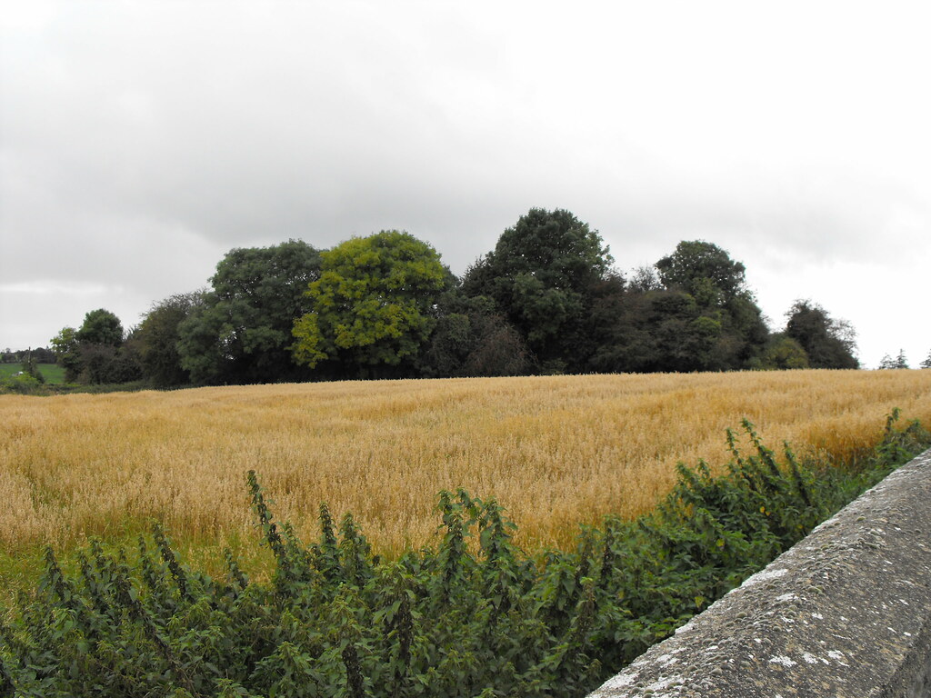
Difficulty – The hall house is located in a wheat field by the river and can be easily reached but try to walk through the tractor tracks so as not to damage the crops.  The N side of the castle is a little boggy because of the proximity of the river and the interior is overgrown and full of rubble so mind your step.

For more castles, click here.
For more sites in Co. Tipperary, click here

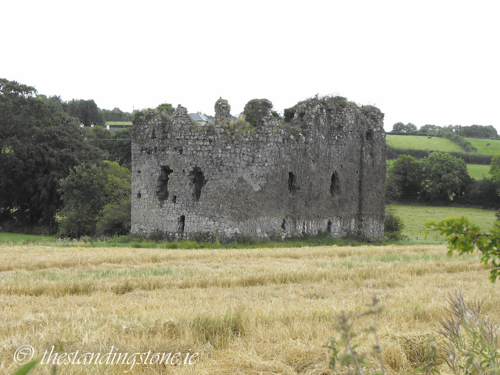
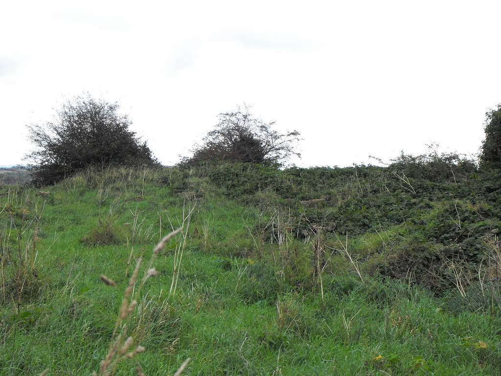
As seen from the rear of the nearby graveyard.


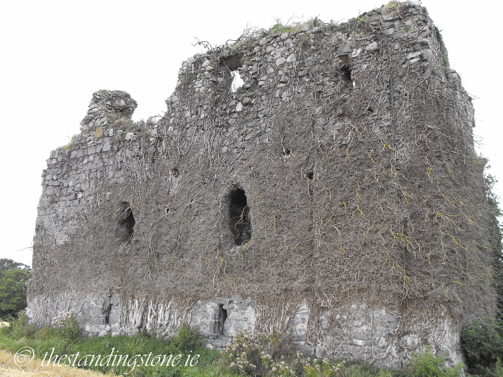
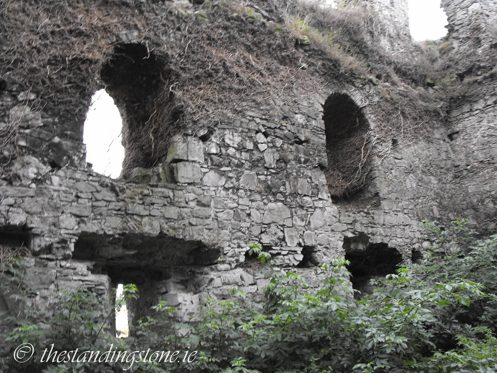
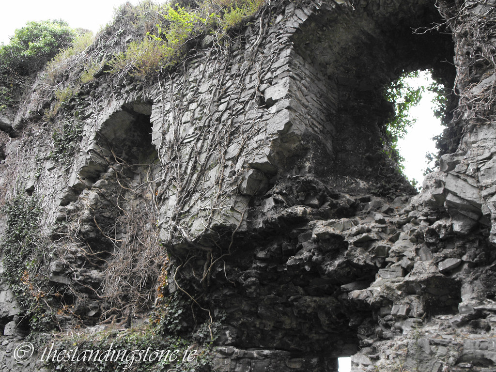
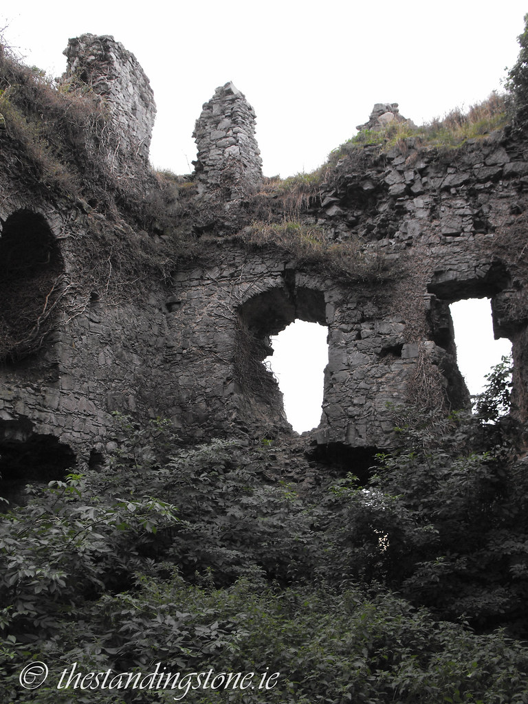
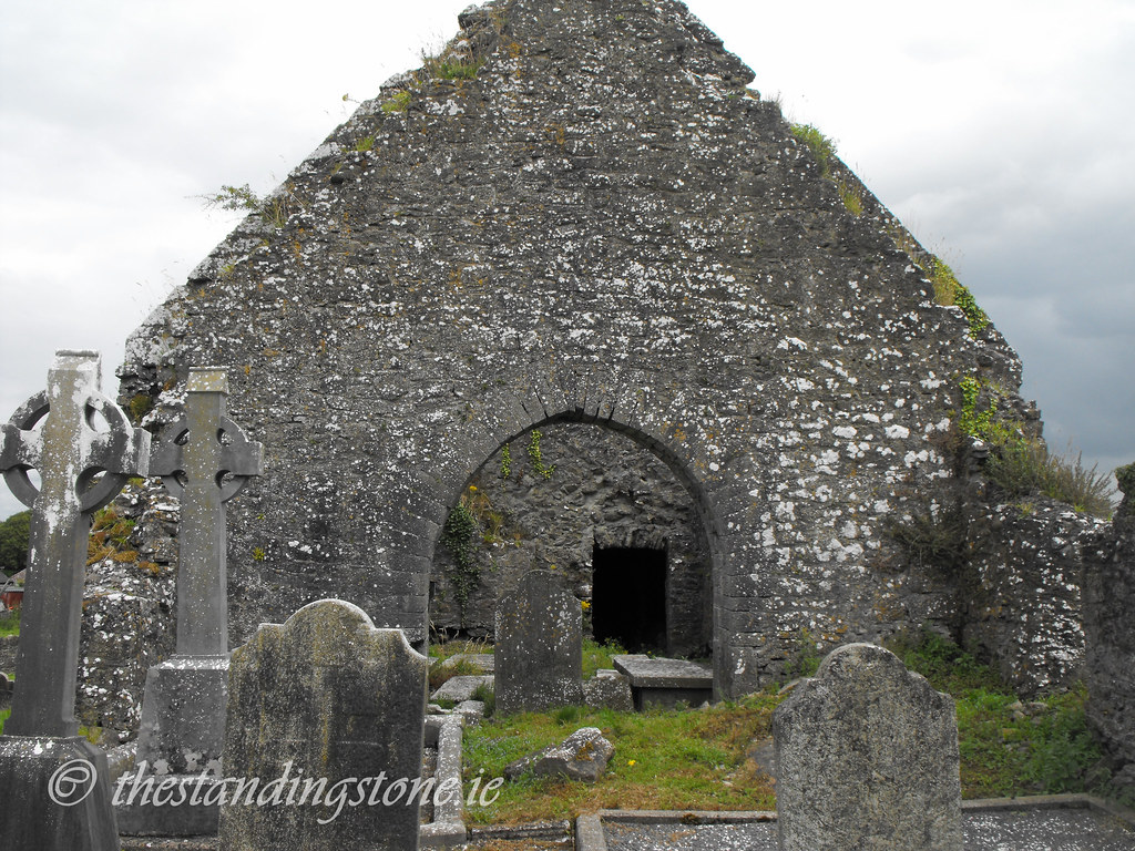
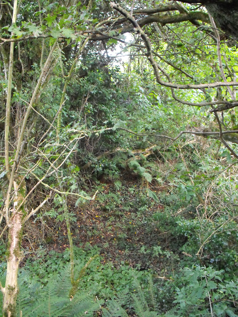
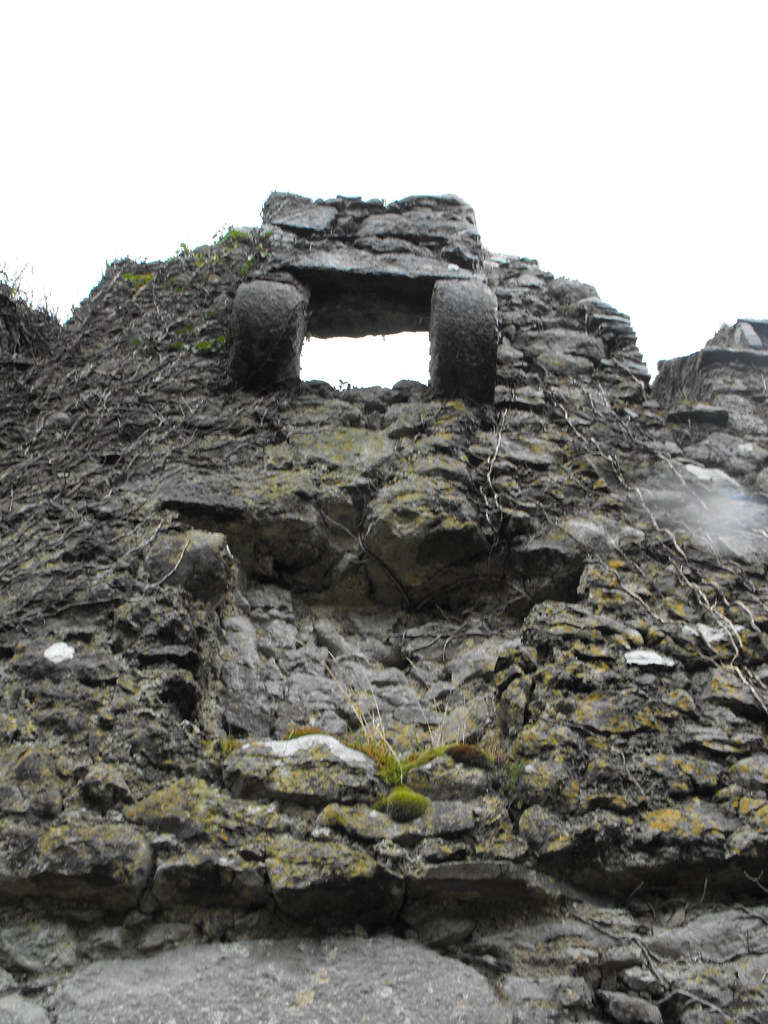
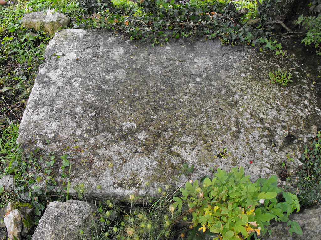
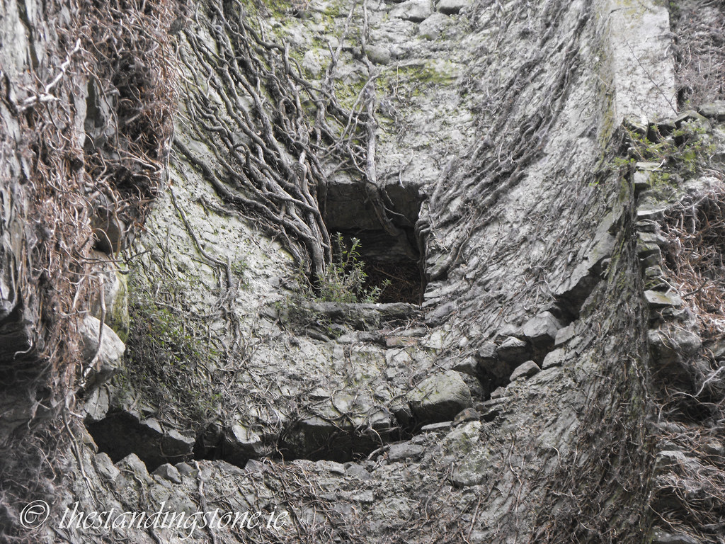
It is so overgrown inside that it is impossible to get to all of it.


View The Standing Stone in a larger map

Loughmore (Tinvoher), Church, Co. Tipperary.

Location – Located in the village of Loughmore just off the N62.
OS: S114 672 (map 59)
Longitude: 7° 49' 52.08" W
Latitude: 52° 45' 20.89" N

Description and History – Remains of a church and accompanying tower dating to the 14th century survive here.  The site appears to have been constantly reworked as many features consistent with a 16th or 17th century date can be seen.  Little remains of church apart from the two gable ends, forming the nave which leads to the chancel.  The N and S walls of the church only survive as wall footings.  The most impressive part of this site is the tower which now only stands one floor high. Whereas most of this site has been lost the barrel vault of this tower has survived and is still in good condition.  Surviving barrel vaults are quite rare – especially at ecclesiastical sites.  The barrel vaulting in the nearby castle also survives.  There are also good views of the castle from the church site as well.

Difficulty – Easy to find and traverse. Access is through the modern church yard.

For more ecclesiastical sites, click here.
For more sites in Co. Tipperary, click here.


View of Loughmoe castle from the graveyard.


View The Standing Stone in a larger map

Newtown/Skirk, Churches, Co. Laois.

Location – OS: S229 848.  The remains of the two churches are located right next to the road and cannot be missed.  The nearby henge can be seen from the remains in the field to the south.

Longitude: 7° 39' 34.39" W
Latitude: 52° 54' 48.98" N

Description and History – There are two churches at this site, both in a ruinous state.  The oldest collapsed in 1835 and now only consists of the E gable and portions of the S wall.  Now lost, there was a stone that was inscribed with the date 1612 which may give us a construction date.  The other church, later in date, is not listed in the Archaeological Inventory for County Laois so I can only assume that it 18th or 19th century in date.  This church appears to be in good condition apart from its missing roof.  However, it is closed to the public and locked up.

Difficulty – Easy to find and navigate.

Nearby Sites:
Newtown/Skirk henge, standing stone and motte and bailey.
The Timoney stones.
Cullaun standing stones.


View from the nearby henge.


Newtown/Skirk, Standing Stone, Henge and Motte and Bailey, Co. Laois.

Location –These three sites are literally on top of each other and are right on the road across the field from the church, near Borris-in-Ossory.
OS: S229 848 (map 60)
Longitude: 7° 39' 34.39" W
Latitude: 52° 54' 48.98" N
See map at the bottom of the page.

Description and History – This site, although easy to find, frustrated me a lot and it was only on my third visit that I finally figured it out and found the standing stone.  The site is overgrown and in the summer months is hard to penetrate. I had tried twice to climb the mound through the undergrowth and upon getting to the top I found it too overgrown with scrub and trees to move around or see anything. Upon going back a third time and failing again, the undergrowth had died down enough to get up the other side and I, along with my brother, finally found the stone.  I had wrongly assumed that the henge and the motte and bailey were one and the same and was an example of a site being reused.  However, it appears that the motte and bailey is separate and pressed up against the henge and that the two are in a figure of 8 shape with the motte and bailey being considerably smaller than the henge.  However, the Archaeological Inventory of Laois says that the henge and motte and bailey are indeed one, but there are definitely two mounds here. The second mound could possibly be the remains of a large bank.

The henge is quite large although I would argue with the measurements given in the inventory which lists at being some 90 meters in diameter, it is smaller than that.  The top is clear and the stone sits in the N sector of the henge and is roughly 2.4m high.  There are substantial banks and a fosse but these are hard to make out because of the trees and scrub.  This site would be of interest to more than the enthusiast and really should be cleared for all to see.

Difficulty  –  Although easy to find the site is hard to traverse because it is so overgrown.  I recommend going in the winter months.

For more castles, click here.
For more henges, click here.
For more standing stones, click here.
For more sites in Co. Laois, click here.

The overgrown henge and motte and bailey as viewed from the nearby churchyard. 

The standing stone.

As you can see, it is very overgrown here.


For scale.


Looking from the top of the henge to the bottom. It's a difficult climb.

View The Standing Stone in a larger map

Clonony Castle, Co. Offaly.

Location – The castle is on the R357, not far from Clonmacnoise.
OS: N 052 216 (map 47)
Longitude: 7° 55' 19.55" W
Latitude: 53° 14' 41.17" N
See map at the bottom of the page. 

Description and History – This well preserved tower house is a perfect example of this style of castle. Standing at roughly 15m in height the castle has all the basic features of a tower house such as; machicolation, murder hole, base batter, mural passages, spiral staircase, gun-loops and bawn.  The first floor has collapsed but has been replaced in recent restoration works. According to the Archaeological Inventory of County Offaly the spiral staircase has partially collapsed preventing access to the upper floors. However, according to the present owner, these stairs were deliberately destroyed to prevent people accessing the castle when it was derelict. This is certainly a case of ‘state sponsored vandalism’ in Ireland which has happened all too often.  This castle also boasts a wonderful barrel vaulted ceiling making up the second floor which has been very well restored.  

The history of this castle is equally as interesting as the building itself.  It was built by the MacCoughlan clan the early 16th century and was the first place in Ireland to practice musketry but was then ceded to Henry VIII in early 17th century.  The castle passed into the hands of the Boleyn family.  It was given as a gift to Thomas Boleyn by Henry as he wanted to marry Anne Boleyn.  In fact, cousins of Anne are buried in the grounds underneath a hawthorn three.  The writing on the stone has eroded away but may still be recovered with a rubbing.  Luckily this castle escaped the campaign of Cromwell and is in relatively good condition. The castle did become ruined but the excellent renovation work of the present owner is slowly restoring this castle to its former glory.

Difficulty – This site is not difficult to find as on the side of the road on the R357, not far from Clonmacnoise. There is no official parking here so you will have to park on the grass verge. The castle is privately owned and is a residence so always knock on the door and don’t barge in. 

For more castles, click here.
For more sites in Co. Offaly, click here.

The impressive gateway entrance. You can see above the arch where the coat of arms would have been located. The owner informed me that it was removed by the previous owners and is still in tact somewhere. 

Machicolation above the bawn wall entrance. 


The bawn entrance from the inside. 

The Boelyn gravestone. 

Inside the renovated ground floor.

The owner has painstakingly found antiques to give the castle an authentic feel.


The restored first floor level.


One of the mural passages.

Looking out of one of the gun-loops.

Looking down on the second floor. The castle is missing its roof.


View The Standing Stone in a larger map