Leighlinbridge, Tower House, Co. Carlow.

Location – In the centre of Leighlinbridge next to bridge.
OS: S 690 654 (map 61).

GPS: S69099 65458 (Elevation – 41m; Accuracy – 6m)

Longitude: 6° 58' 36.83" W
Latitude: 52° 44' 9.08" N

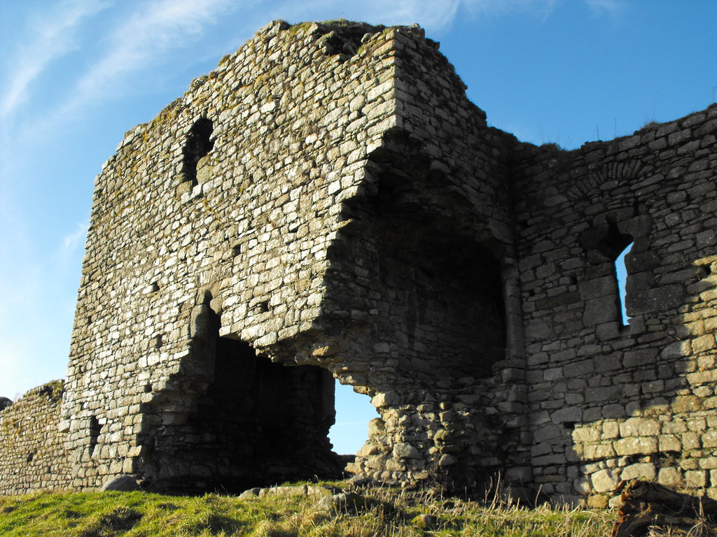
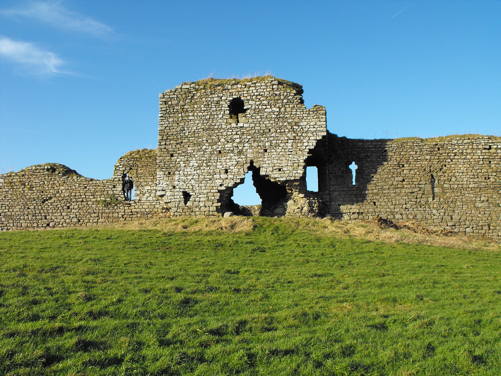
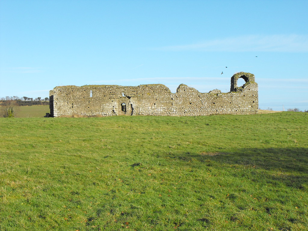
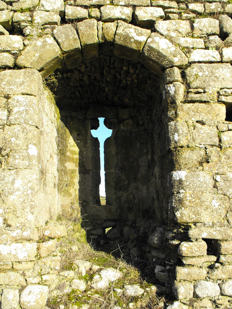
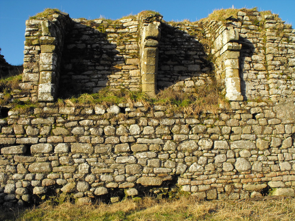
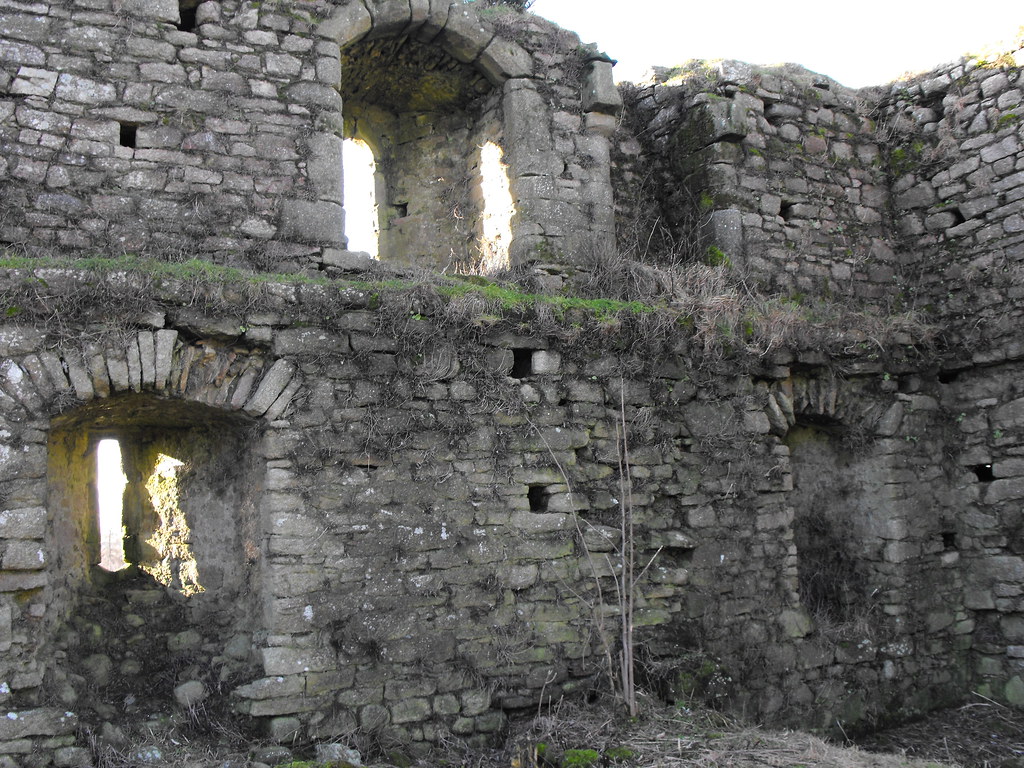
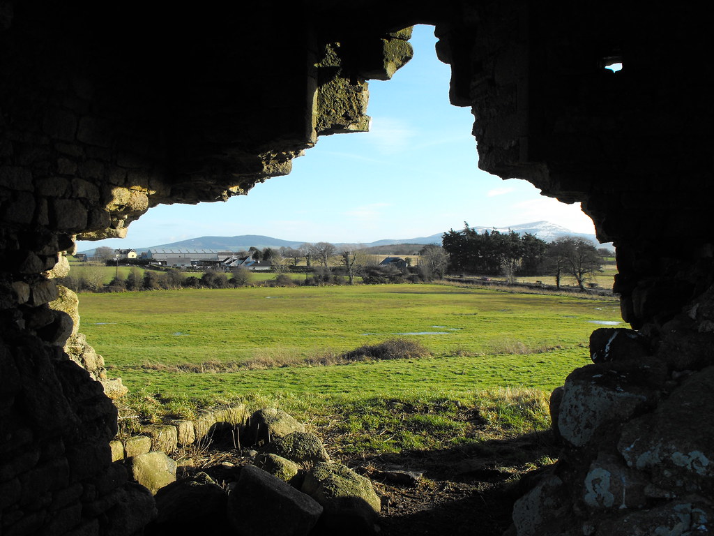
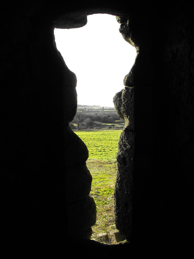
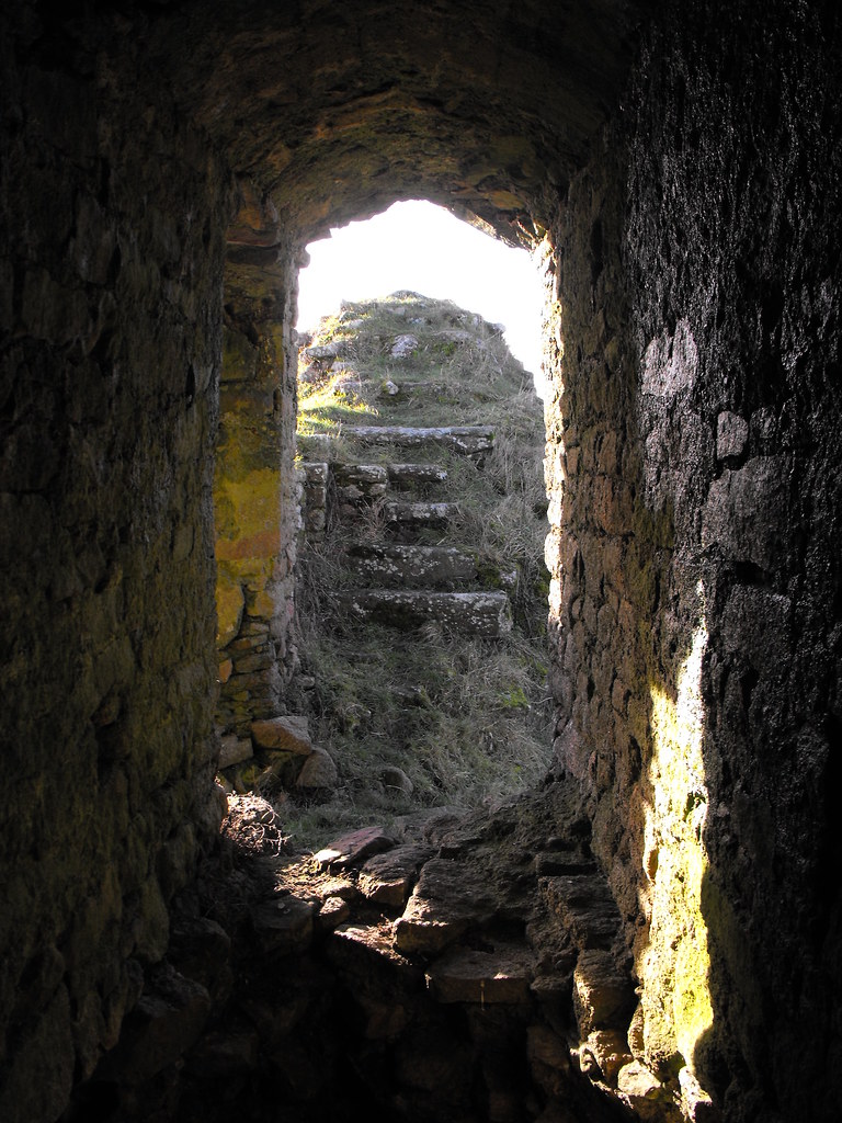
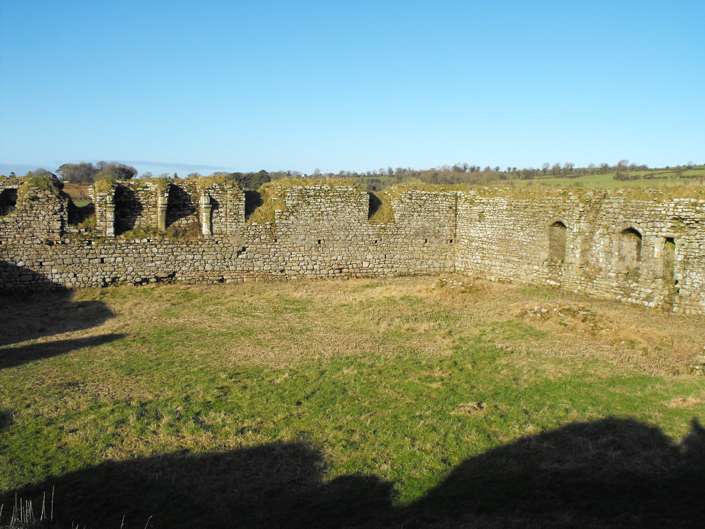
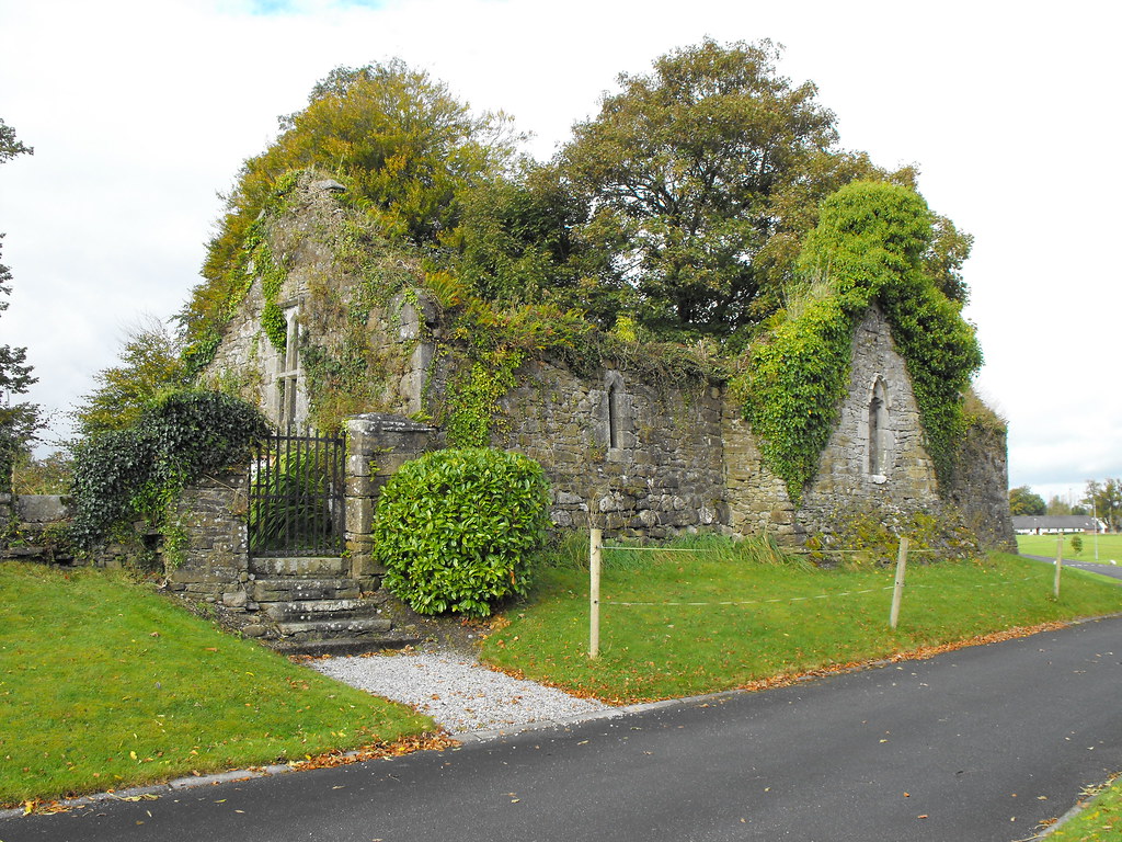
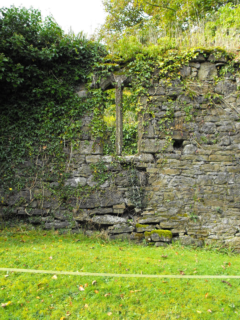
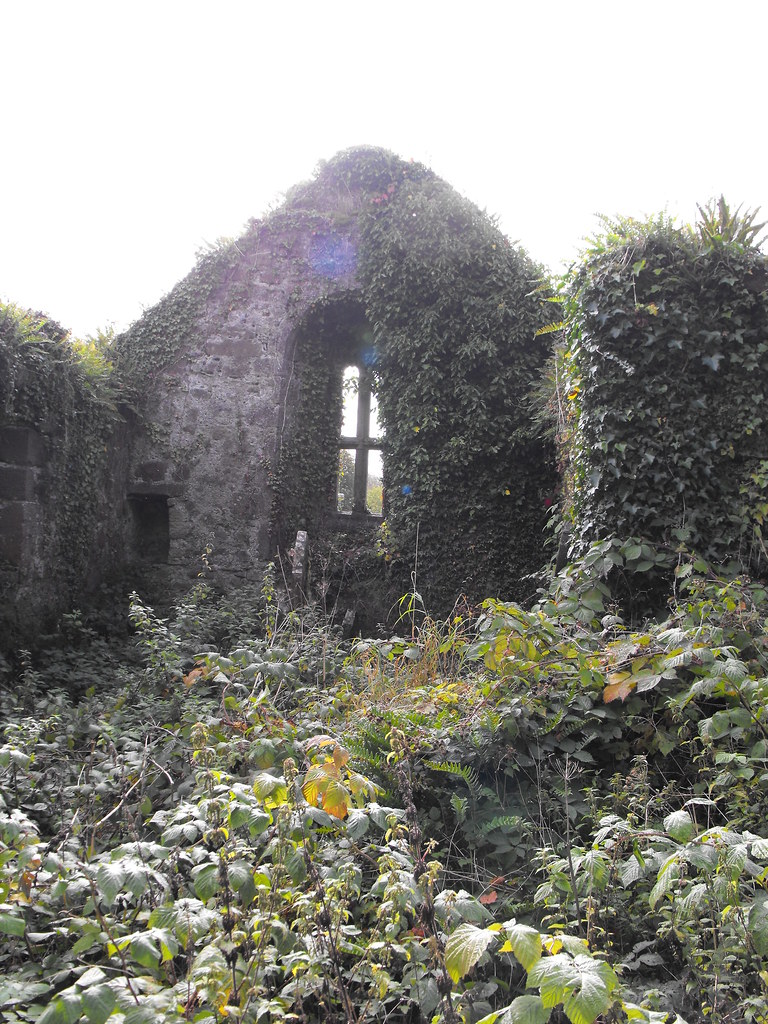
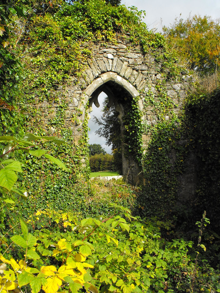
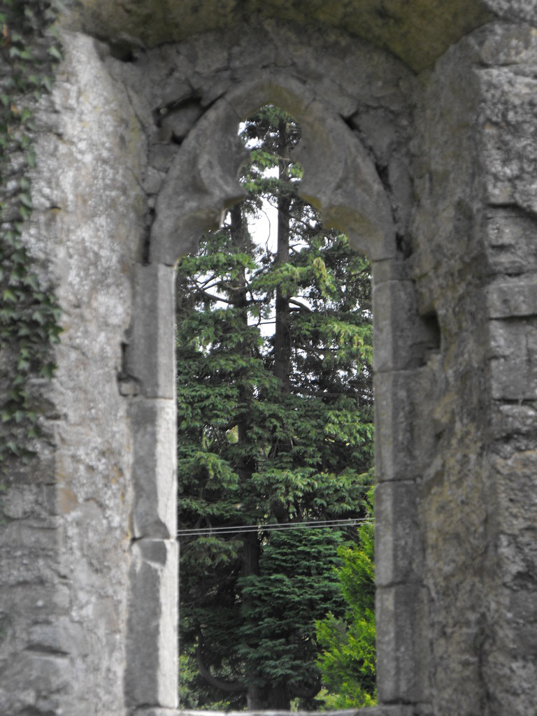
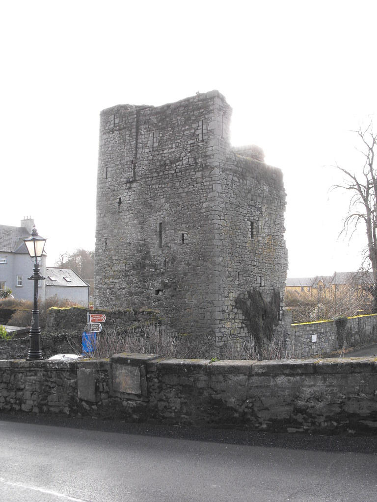
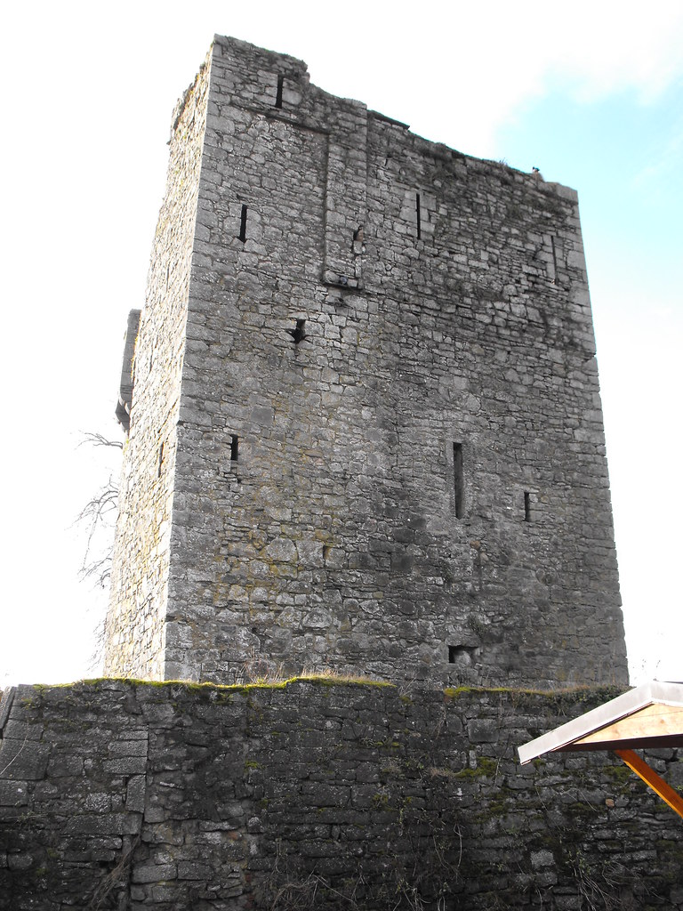
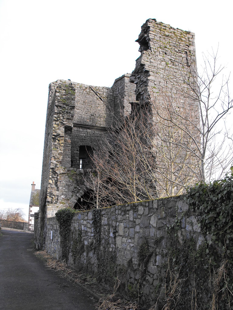
Description and History – Although the present remains are far from spectacular, this is an important site and is the site of the first known Norman fortification in Ireland. Undoubtedly it was originally a motte and bailey and was constructed to defend the bridge that crosses the River Barrow. A stone castle, known as ‘Black Castle’ was constructed in 1320 but no longer remains. On the site of ‘Black Castle’ stands the remains of 16th century tower house which has partially collapsed. A barrel vault survives on the first floor and portions of the second floor survive. A machicolation protects the entrance. I was unable to get into the castle upon visiting as the Barrow had flooded barring the entrance.

Difficulty – Easy to find as it is located in the centre of Leighlinbridge but parking is sparse. I would recommend parking at the nearby hotel on the R705 and walking from there. Obviously if the Barrow is flooded then you are constricted to the outer parts of the castle.

For more sites in Co. Carlow, click here.
For more tower houses, click here.


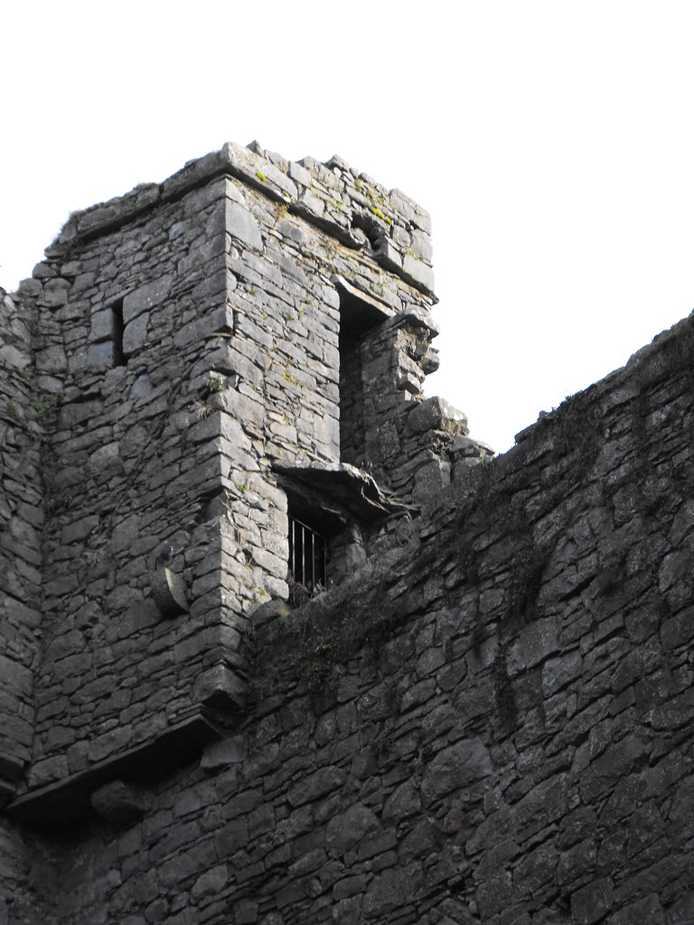
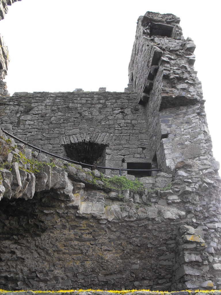
A good example of a machicolation.

Ballagharahin, Wayside Cross, Co. Laois.

Location – OS: S 222 779. Opposite Erill church and N of Ballagharahin tower house. The OS map locates the cross on the wrong side of the road.
Longitude: 7° 40' 13.55" W
Latitude: 52° 51' 5.85" N

Description and History – This site was hard to justify as its own post and I thought I might put it in with the neighbouring church but there is nothing apart from location to suggest that these two sites are connected.  The cross is certainly not in its original location as it sits in a modern base.  All that’s left of the cross is the shaft and stands to 0.85cm.  I need to re-photograph this site as subsequent to my visit I learned that there is a coat of arms on the cross and two inscriptions dating from 1613 and 1622 which is dedicated to the Baron of Upper Ossory and his wife Katherin More and their son and daughter-in-law.

Difficulty – Easy to find as it is located right on the edge of the road.  There is ample parking.


For more high crosses, click here.
For more sites in Co. Laois, click here.


Looking to the NE at the church ruins.


Errill Church, Co, Laois.

Location – OS: S 222 780. Opposite from Ballagharahin wayside cross and N from Ballagharahin tower house.

Description and History – The present remains are of a medieval church but the site dates back to the early Christian period when a monastery was founded by St. Kieran.  Only grass covered wall footing remains of this foundation.  The medieval church is located in a graveyard and is 16.9m x 8.8m in size. A doorway remains in the S wall and a nice rounded window in the S wall.  Another window survives also.  Masonry has been reused as gravemarkers in the graveyard.  This site is a national monument...there are more deserving sites.

Difficulty – Located on the roadside and has ample parking.

Sorry about the slight blurry patches in the pictures.  It was raining on the day I was there.


Ballymoon Castle, Co. Carlow.

Location – Located on the R724 E of Bagenalstown.
OS: S 739 615 (map 61)
GPS: S 73982 61503 (Accuracy: 7m)
Longitude: 6° 54' 19.81" W
Latitude: 52° 41' 58.82" N

Description and History – Although in my mind there is no castle that can really top the Rock of Dunamase, Ballymoon castle has to come a close second.  I had seen pictures of it and immediately made it a place to go and visit and was very glad I did so.  I have been told by people that once you have seen one castle you have seen them all but Ballymoon castle is proof that this is not the case.  What makes this castle so spectacular is its individuality.  As you walk up to the castle from the little wooden bridge that crosses the stream you realise that you are in for something special.  I think it took well over an hour to get around this castle and truly appreciate it.

What remains of the castle is a square outer wall roughly 24m x 24m and 6m high.  What is immediately striking about this castle is the high number of garderobes and fireplaces which suggest that this castle was not only military but about comfort.  It is local legend that this castle was never finished and therefore never used.  Although there is no reliable historical source for this the physical remains seem to indicate that this is the case.  None of the inner building of the castle exist above the foundation level and considering the good condition of the outer wall it would appear that these were never built.  One thing to always remember about these sites is that they do not exist within a vacuum but relate to and are largely shaped by the larger world.  At the time the castle was built (shortly before 1300) Europe was entering a massive economic breakdown and recession following the collapse of many Italian banks and although a connection is impossible to make here I wonder if the effects of this recession were felt in Ireland and stopped the work on this castle.  If this is the case then we have a parallel to today.  Across Ireland we see abandoned building sites and maybe Ballymoon castle is a message from the past that tells us that what we are experiencing is nothing new.  Ballymoon castle is the perpetual building site.

As to who built this castle we can only speculate.  Historians have suggested the Carew family as they acquired a lot of land in Carlow at this time.  However, this is purely speculation.  Whoever built this castle, it still stands and is a wonder to visit.

Difficulty – Easy to get to and is clearly visible from the road, just head E from Bagenalstown on the R724 and you will see it.  Parking is a little tricky and people whiz down that road.  Access is public and you can get into the field over a small wooden bridge.  Watch your footing in the castle.

For more sites in Co. Carlow, click here.
For more medieval castles, click here.


One of the many cross shaped gun loops.


Unfinished triple fireplace.


You can clearly see where the rooms use to be.


Clonfertmulloe/Kyle Standing Stone, Co. Laois.

Location – OS: S 233 902 (map54) – near Borris-in-Ossory.
Longitude: 7° 39' 11.59" W
Latitude: 52° 57' 43.61" N
GPS: S 23180 90130 (Elevation: 121m - Accuracy: 15m)

Description and History - The standing stone is located W of the cemetery and is 1.1m high, tapering towards the top. Damage has been done to the stone by cattle using it as a scratching post, which is a common problem. Another problem with monoliths in Ireland is that some are relatively modern and were erected in the 19th century by farmers as scratching posts. Some were also erected by landowners in an attempt to add artefacts to their land, which may be the case at Timoneyhills. The proximity to the cemetery and church would indicate that this is indeed an older stone as pre-Christian religious sites often became early Christian religious sites.  Also this stone has a N-S alignment with the flatter edge indicating this.

Difficulty - Easy to find and can be clearly seen from the cemetary.  A modern house has now been built at the site so seeing the stone is much easier.  You can get good views from the track leading to the house.  The owners of the house do not own the land where the stone is.  The owner lives at the first house on the left as you pass by the cemetary coming from the stone. 

For more sites in Co. Laois, click here.
For more standing stones, click here.


Rahan, Ecclesiastical Complex, Co. Offaly

I am treating this site as one since the three churches are all part of the one foundation.  For ease I will give each church its own page as they represent different points of time in the sites history.  More detailed information about the location and difficulty will be given on the individual churches. I will give a general description of the site here and give some general history of the site – you can then click on a church to read more about it.

Location of the site – OS: N 25 25.  More precise co-ordinates are given on the individual site pages.  The site is located on the N side of the Grand Canal W of Tullamore.

Description and History of the site – This site is quite large and was once of certain importance.  It was founded in the 6th century by St Carthach and the earliest features of this site may be represented by a ditch along the E-W and S sides of the site which may have been the sites original boundary. Arial photography has revealed possible former internal boundaries that may have been used for farming.  The Clodiagh River marks the sites N boundary.  Today three churches remain on the site.  Two of these are Romanesque with one that has been incorporated in the modern Protestant church while the other is hard to date because of its poor condition.  The modern church is still in use as is the graveyard.

The site, when founded, was located between the Irish kingdoms of Delbna Ethra and Ferceall. It was common for monasteries to be founded on the borders of small kingdoms or between them.  Little is known of the early foundation here but we do know some details of the 12th century at Rahan when the Romanesque church was being built. By the 12th century Rahan was highly corrupted and all the abbots belonged to the Ua Ceallaigh family.  The family dominated the coarbship of Rahan and family feuds led to violence at here.  In 1139 Cinel-Fhiachach was murdered at Rahan and Muircheartach Ua Maelmhuaidh was burned to death here.  Similar incidents happened in 1142 and 1156. 

A Sheela-na-gig was also found at the site along with three late medieval grave slabs dating from the late 17th century.  One of the grave slabs is marked with the date 1683 with the initials ‘C.M’ and may commemorate a man named Charles Molloy from Cartron who died in 1684 and had the slab made in his lifetime.  It is decorated with a Maltese cross and a skull and crossbones.  It is now located in the modern Protestant church but this church was closed upon my visit so I could not get in to see it.  There is an illustration of the slab, however, in The Medieval Churches of County Offaly (see Resources).

Difficulty - Easy to find with ample parking.  Mind the cattle.

Click below to read about the individual churches at this site.

Church 1
Church 2
Church 3

For more ecclesiastical sites click here.
For more Romanesque churches click here.
For more Gothic churches click here.
For more sites in Co. Offaly click here.

 Some of the earthworks that make up the earliest foundation on the site.


Corville Abbey, Co. Tipperary.

Location – In the grounds of St. Anne’s Convent just outside Roscrea. OS: S 153 886 (map 60).
Longitude: 7° 46' 20.49" W
Latitude: 52° 56' 52.88" N
GPS: S 15274 88545 (Elevation: 106m - Accuracy: 5m)

Description and History – Firstly this site can cause some confusion as it is also known ‘Corbally abbey’ and ‘Sean Ross’. The disadvantage of treating every site individually is that we begin to think of these sites as individual when they are not and belong to a larger context. This site is highly linked to Monaincha Abbey and the Romanesque church at Roscrea. Although now lost the original foundations at Corville were founded by St Cronan who abandoned the foundation and moved it to the more accessible Roscrea. The Augustinian Abbey at Monaincha was then moved to Corville in the late 15th century. Therefore, when we think of this site we should also think of Monaincha and Roscrea as they all form part of one large ecclesiastical landscape.

The present remains consist of a church with transepts in the N and S walls. The church is roughly 15m x 6.5m while the transepts are roughly 6.5m x 6.5m. The E wall has a very pronounced base batter that almost looks like it is in danger of collapsing. The windows in the transepts are very attractive with vine leaf decoration. Unfortunately, this site is very overgrown and it is therefore hard to identify certain architectural features amongst the ivy growth. There are also a lot or brambles on the ground which make traversing the site difficult (not impossible) and it is easy to trip on rubble and broken gravestones. With a little gardening this site could easily made safe and much more accessible for visitors. Unfortunately the policy seems to be one of forgetfulness. The E wall is leaning dangerously outward and some graves inside the church are now propped up with planks. Eventually that wall will fall and I just hope there is nobody driving or walking past at the time.

Difficulty – Easy to find but difficult to traverse due to the undergrowth.

For more gothic churches, click here.
For more sites in and around Roscrea, click here.
For more sites in Co. Tipperary, click here.


The highly prominent base batter.


The rear of the church is very overgrown.


As you can see the interior of the church is very overgrown.


The remains of an arched doorway.


Architectural fragments are lying all over the place in the undergrowth.