Knigh Church, Co. Tipperary.

Location – Located on the R493 about 3km N of Nenagh. It’s right by the road and easy to spot.
OS: R 857 844 (map 59)
Longitude: 8° 12' 45.28" W
Latitude: 52° 54' 37.11" N
See map at the bottom of the page.

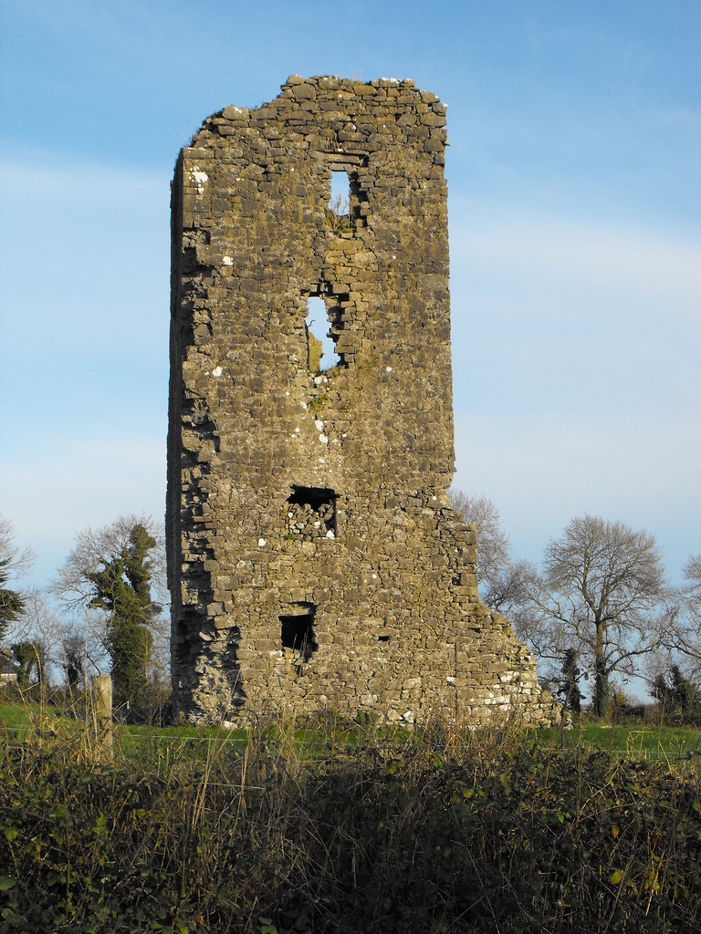
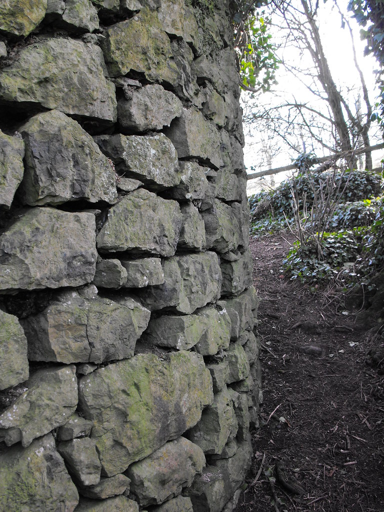
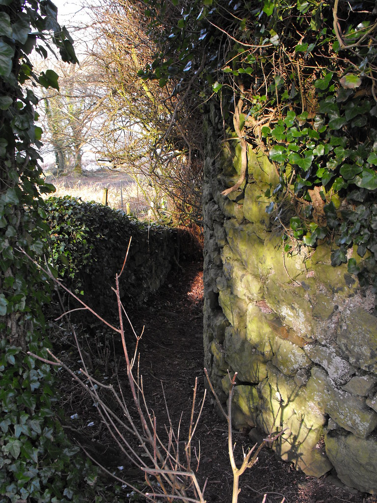
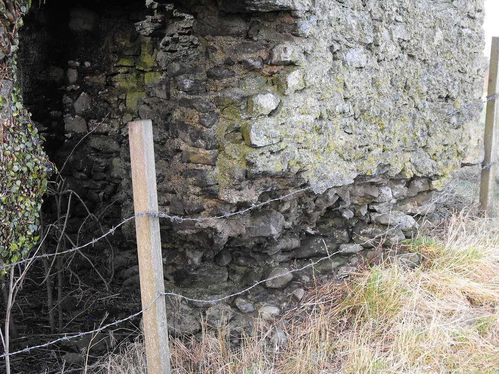
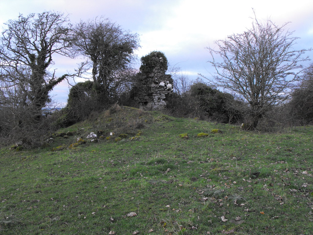
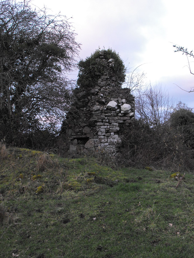
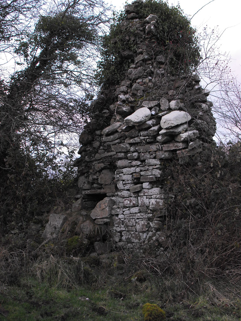
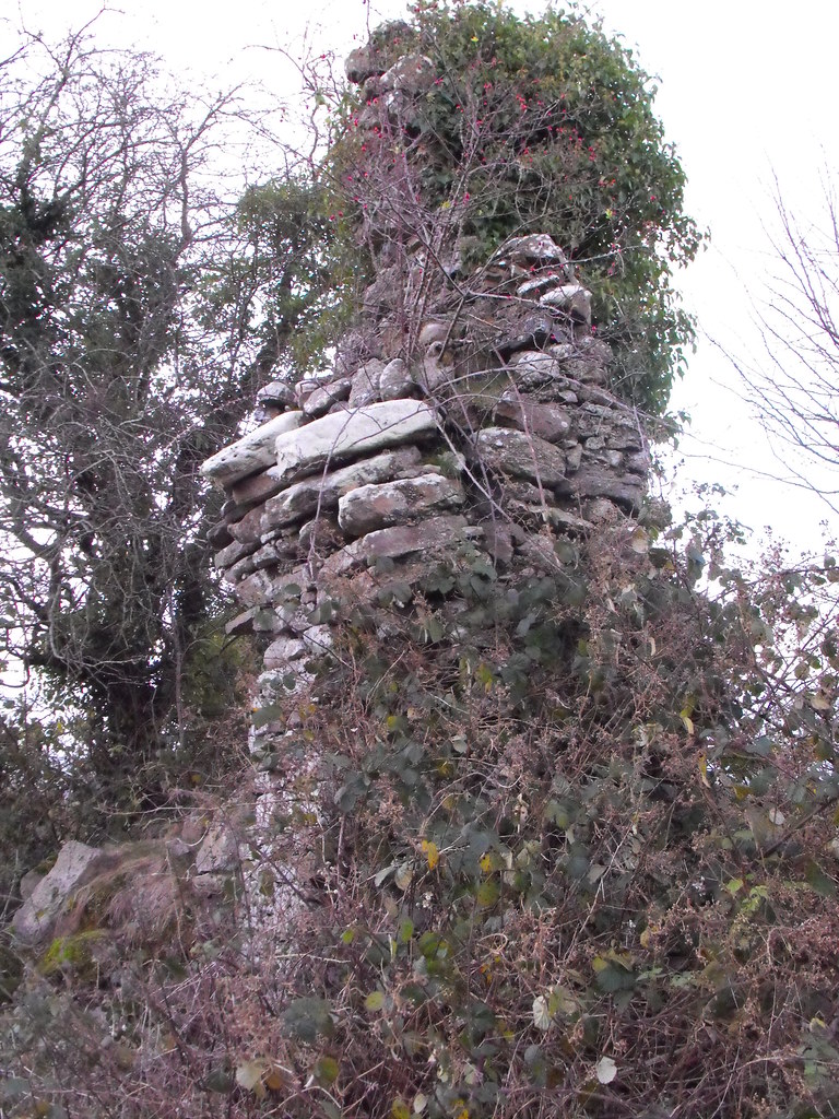
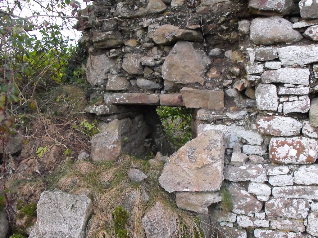
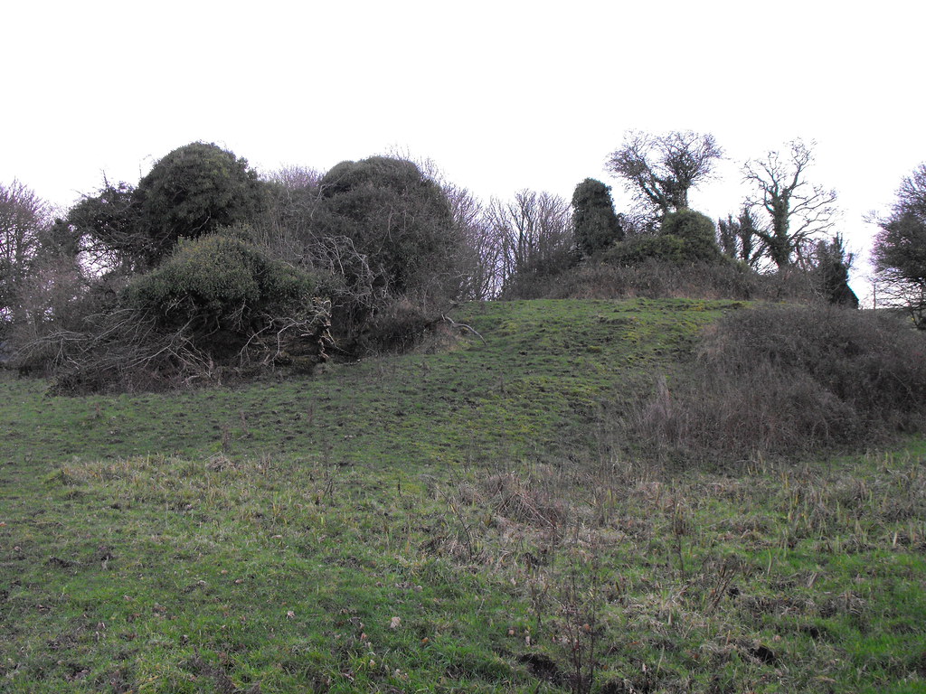
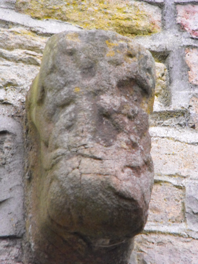
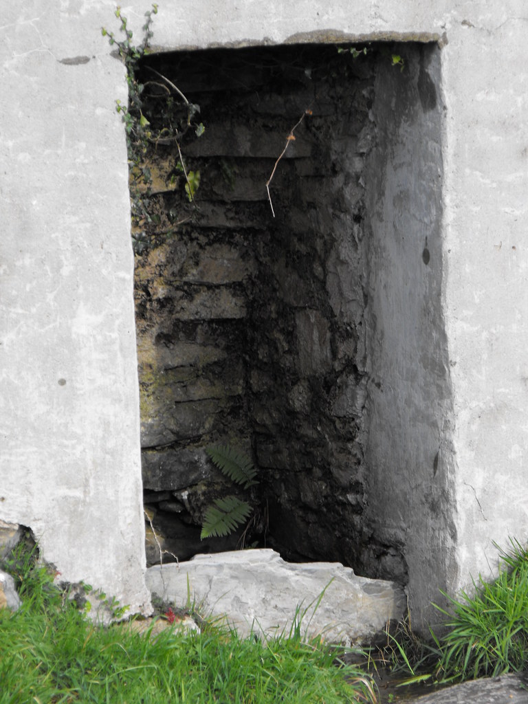
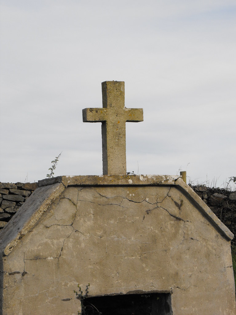
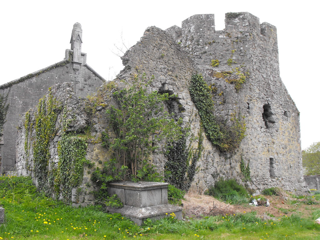
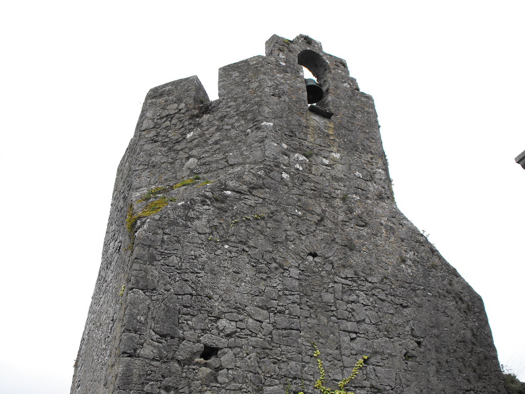
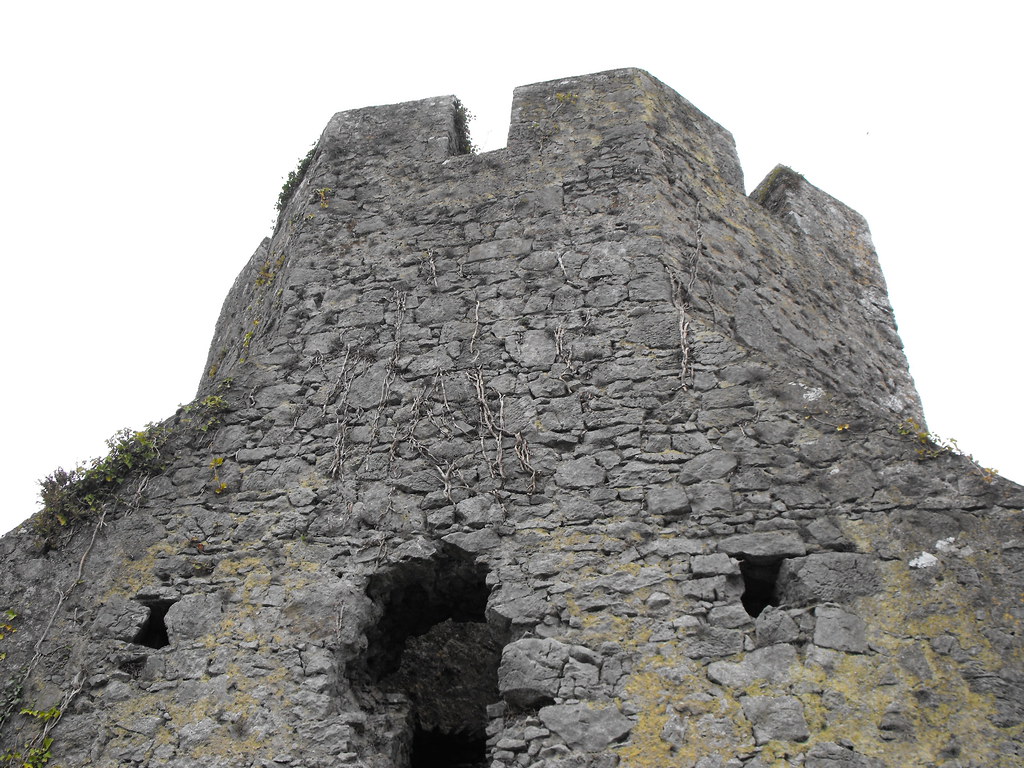
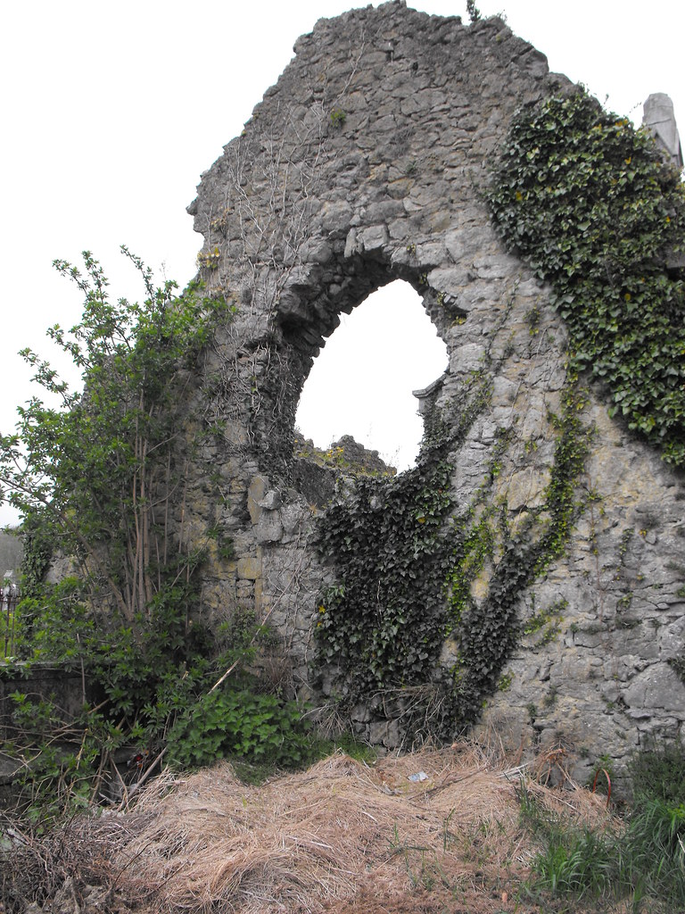
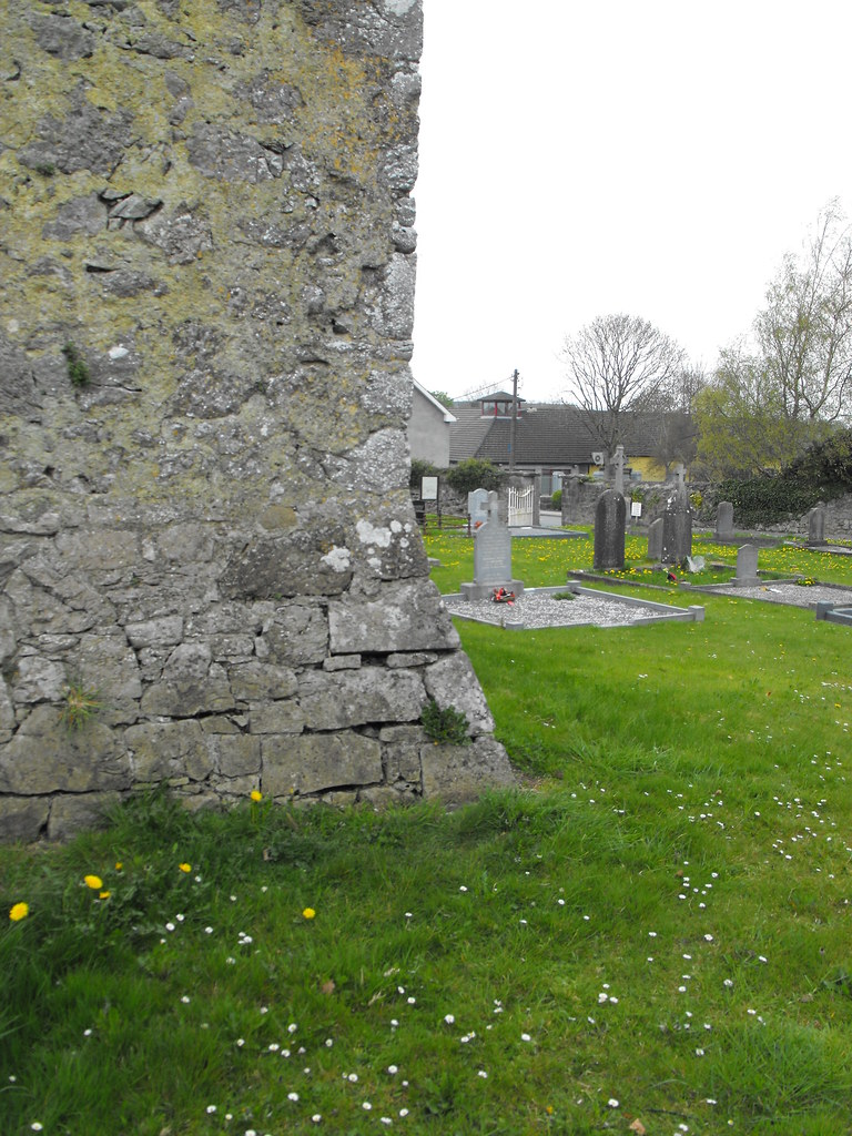
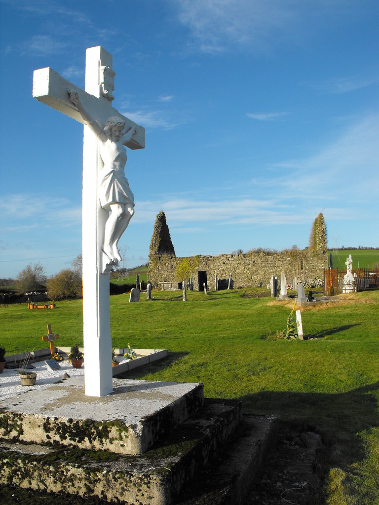
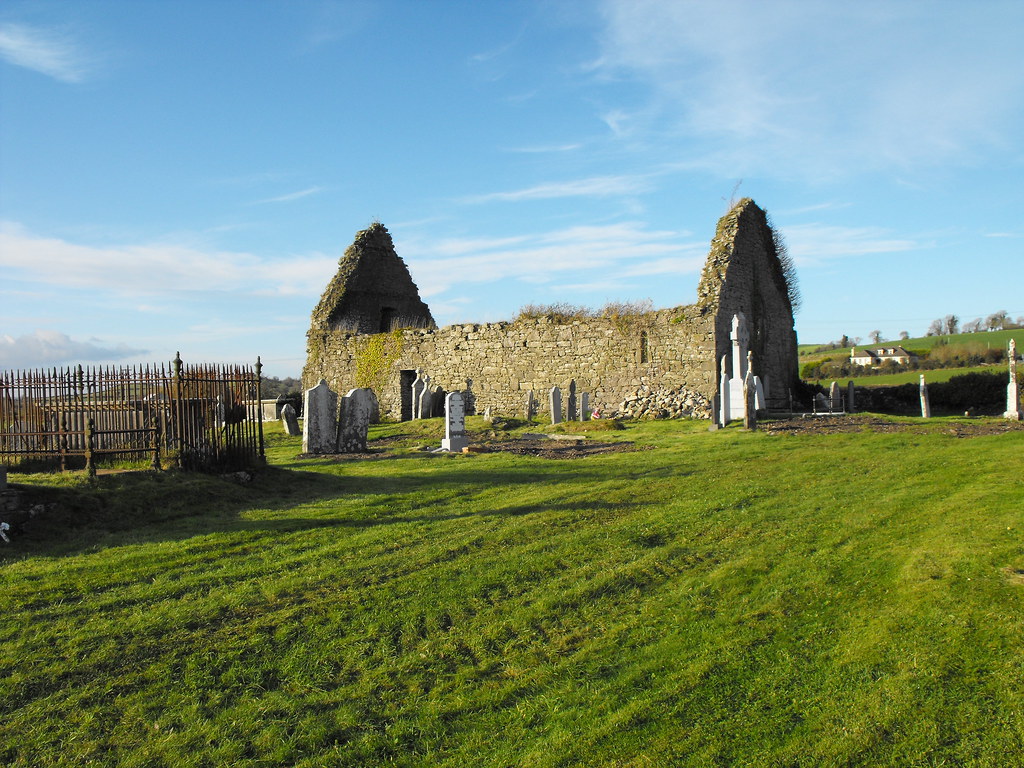
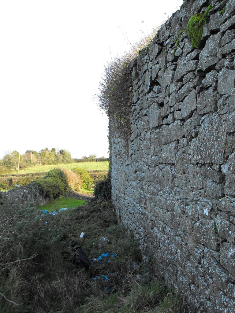
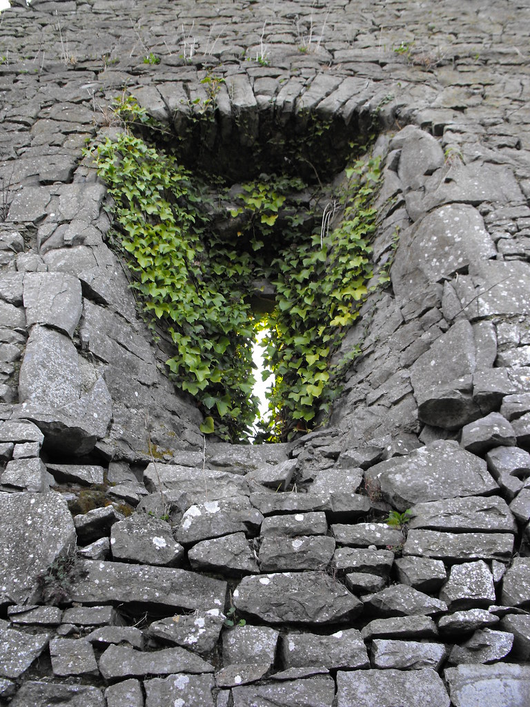
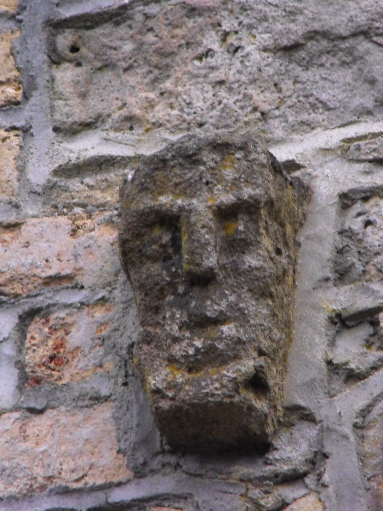
Description and History – This is quite a plain church in a very nice location. The views from here are very nice and the graveyard is well kept and the church has had partial restoration carried out on it. The church is roughly 18m long and 9m wide. The priest’s quarters take up the W end of the church and there is a division between the nave and chancel. The original doorway was restructured during restoration and is not in its original form. Apart from that the restoration is quite good with original windows retained. Ivy growth covers much of the church but architectural features can still be made out.

Difficulty – Easy to get to and easy to get around.

For more ecclesiastical sites, click here.
For more sites in Co. Tipperary, click here.

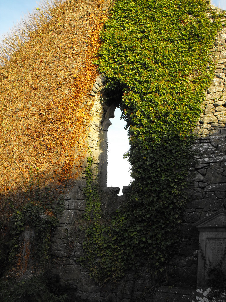
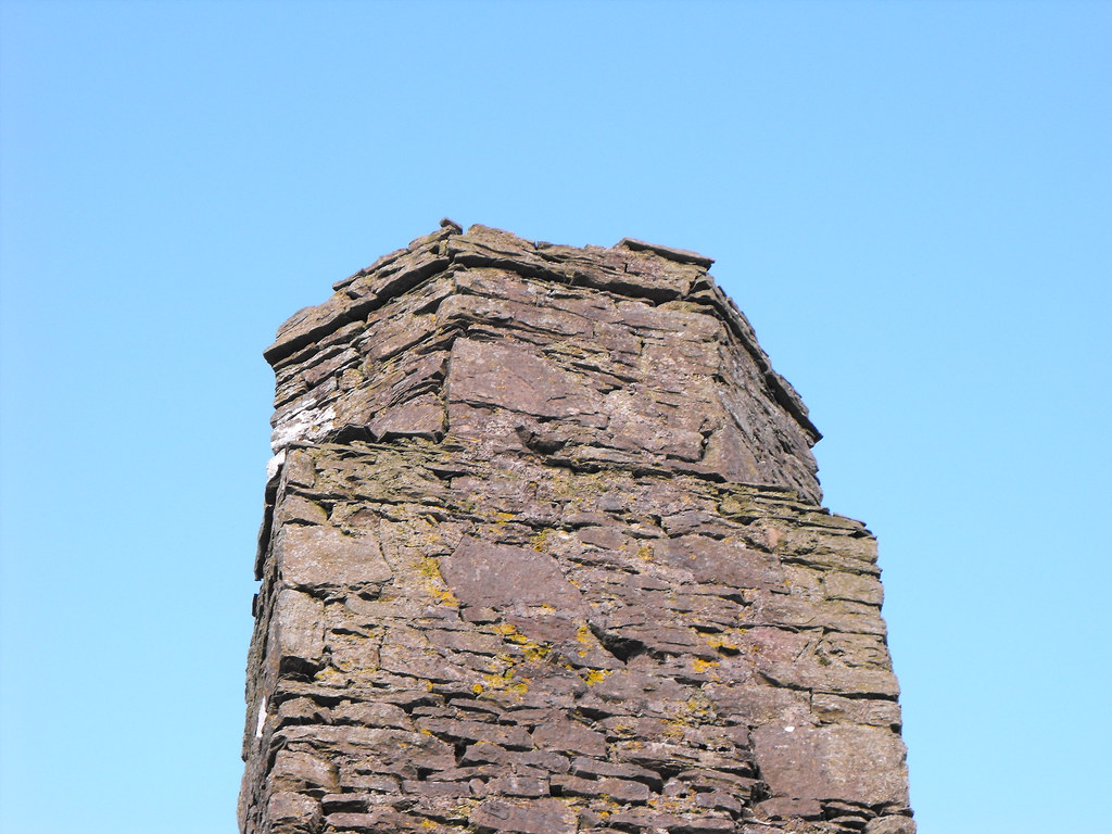
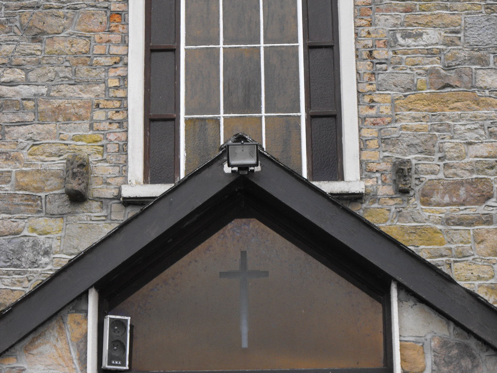
One of the highly damaged windows.


This doorway retains its original shape.

This doorway was altered during restoration work and is not in its original form. A modern wooden lintel was also put in.


View The Standing Stone in a larger map

Knigh Castle, Co. Tipperary.

Location – On the R493 about 3km N of Nenagh. It can be clearly seen on a slight rise next to the road.
OS: R 857 847 (map 59)
Longitude: 8° 12' 45.33" W
Latitude: 52° 54' 46.81" N
See map at the bottom of the page.

Description and History – There is not much left of this castle but is still sticks out in the landscape. All that remains is the NW corner of a tower house and the foundations of the rest of the castle. From the foundations the castle measures 9m x 12m. The castle was four storeys high with a barrel vault over the first floor that is still intact along with two garderobes. Nothing seems to be known about the history of this castle. I quite like it. It presents an interesting dot on the landscape.

Difficulty – Easy to spot. It is located in cattle fields so you might not be able to get right up to the castle but it can be viewed easily enough from the road.

For more castles, click here.
For more sites in Co. Tipperary, click here.

As viewed from the nearby church.


View The Standing Stone in a larger map

Pigeon House, Lough Gur, Co. Limerick.

Location – Located right in the shores of Lough Gur on Knockadoon hill.
OS: R 646 412 (map 65)
Longitude: 8° 31' 18.52" W
Latitude: 52° 31' 14.75" N
GPS: R 64584 41162 (Accuracy: 7m)
See map at the bottom of the page.

Description and History – I generally don’t come across many pigeon houses even though they are scattered around the place. They were introduced by the Normans and housed pigeons and doves which were used for eggs and meat.  This example dates to the 17th century and appears on drawings of the nearby castle. It is about 2.6m high and 5m thick and largely ruined. One side of the pigeon house is completely ruined and portions survive to full height although the roof is now missing. Nothing spectacular here but interesting nonetheless.

Difficulty – Easy enough to find and it has its own information board.

For more sites around Lough Gur, click here.
For more sites in Co. Limerick, click here.

Parts are very overgrown.


View The Standing Stone in a larger map

Derrin Castle, Borris-in-Ossory, Co. Laois.

Location – Just outside Borris-in-Ossory and visible from the N7.
OS: S 260 884 (map 60)
Longitude: 7° 36' 45.68" W
Latitude: 52° 56' 44.57" N
GPS: S 26033 88389 (Accuracy: 3m)
See map at the bottom of the page.

Description and History – Known as Derrin Castle, this is not a castle.  It is not even a fortified house.  It is just a plain house. It is included in the Archaeological Inventory for County Laois because it pre-dates 1700 and is a sizable property.  The life of this property is very short and only appears to have been occupied for 75 years at the most.  It was constructed in the early 1600’s and was abandoned in 1675 when the last owner, Dorothy Hedges, died. Constructed of limestone, this is a T-shaped house with huge projecting diagonal chimney stacks in the N and S gables.  Fireplaces and windows are still visible.  The inside is largely overgrown and has been surrounded by barbed wire to prevent entry.  This was a wise move by the owner as the building really looks unstable and is in danger of collapse.   Rabbits are now the only occupants of this building. A small modern structure has been built onto the side and is used for farm storage.

Difficulty – Easy to get to. It is in the middle of an easily accessible field.

For more castles, click here.
For more sites in Co. Laois, click here.

The view as you enter the field.

The front of the castle.

From the side. Note the modern structure.

From the rear.

The beautiful chimney stacks.

Looking in one of the former windows.

The bottom of the walls have been robbed of stone adding to the instability of the structure.

Fireplaces in the walls.


View The Standing Stone in a larger map

Leitir Lugna (Letter), Church and Holy Well, Co. Offaly.

Location – Near the village of Cadamstown and signposted. The architectural fragments are cemented into the front of the Cadamstown church.
Church and holy well co-ordinates:
OS: N 231 076 (map 54)
Longitude: 7° 39' 17.82" W
Latitude: 53° 7' 6.55" N

Architectural fragments co-ordinates:
OS: N 228 086 (map 54)
Longitude: 7° 39' 33.69" W
Latitude: 53° 7' 38.95" N
See map at the bottom of the page.

Description and History – When I saw that the site was signposted and that there was an information board my hopes began to rise that this might be something special and I was very very disappointed.  There is very little left. Normally that wouldn’t bother me, I’m use to it, but when there’s a build up it’s disheartening.  I think that the only reason that it is signposted is that it’s near Cadamstown which is a popular tourist destination.  On the plus side it is great to see lesser known sites being looked after, although it could do with a little more care.

A church was found here by St. Lugna in the 6th century and the site was chosen because it is situated at the crossroads of the Slighe Mor and Slighe Dala which were two of ancient Ireland’s four major roads.  In 1473 the church was home to a priest called Conchobhar O hOgain who was accused of neglecting the church and selling certain assets. He also kept a concubine in the church with whom he fathered a son.  

All that remains of the church today are the mound it was situated on and a small wall fragment with a window and the springers for a barrel vault which would have been the priest’s quarters.  The surrounding land around the knoll is very marshy.  The nearby holy well is known as ‘Toberlugna’ and is visited on 27th April.  It has been recently conserved and modern enclosure with the face of saint has been erected over the site.  I couldn’t get very close to the well because of the marshy conditions.  At Cadamstown church are two medieval stone faces that have been inserted into the front of the building. These fragments came from Leitir Lugna.

Difficulty – Easy enough to get to since it is signposted but it can be boggy after heavy rain.

For more ecclesiastical sites, click here.
For more sites in Co. Offaly, click here.

 As you enter the field, this is the view of the mound and church remains.

  As you can see there isn't much left here.


I really think this could collapse any day.

Partially blocked up window.

Stone from the church litters the ground.

The remains of a lost building.

The site as viewed from the rear.

The holy well...a little blurry.

The face of the saint.

The architectural fragments at Cadamstown church. They are place either side of a window above the entrance.

This is the more weathered of the two faces.


View The Standing Stone in a larger map

Carrigatogher Holy Well, Co. Tipperary.

Location – Not far from the N7.  It can be a little tricky to get to because of all the road works which seem to change every time I go by so a map is of little help here but bring it with you.
OS: R 804 767 (map 59)
Longitude: 8° 17' 27.24" W
Latitude: 52° 50' 27.39" N

See map at the bottom of the page.

Description and History – This is a nice little holy well in a bad location.  Nearby roadworks and the N7 spoil the view as does a huge electricity pylon in the next field.  Apart from that it’s a nice spot. The enclosure is quite modern but is not a monstrosity as some modern enclosures can be.  It is a simple concrete enclosure with a cross on top which is built around a small natural well which runs under the road and into the pool. A concrete wall, with a gate, surrounds the whole structure.  The modern enclosure is about a meter in height and is dedicated to St Patrick and is traditionally visited on St Patrick’s Day and on Saturdays when the water is said to have healing powers.

Difficulty – Plenty of places to park.  It can get flooded after a heavy rain fall.

For more ecclesiastical sites, click here.
For more sites in Co. Tipperary, click here.

There is a nicely made path leading to the well. No trekking across fields for this one.

After a heavy rainfall the water flows quite rapidly to the well by the side of the path.

It does, however, get quite flooded around the well.

We couldn't even get to the well because of the flooding.

This was as close as we could get.

The interior of the well.


View The Standing Stone in a larger map

Askeaton Church, Co. Limerick.

Location – On the N69 just you enter Askeaton.  The ruins are located to the rear of St Mary’s Church of Ireland church.
OS: R 341 503 (map 64)
Longitude: 8° 58' 11.91" W
Latitude: 52° 36' 1.03" N
GPS: R 34286 50324 (Accuracy: 5m)
See map at the bottom of the page.

Description and History – Little is known about this church apart from that it was founded by the Knights Templar in 1298.  It is very unusual in that the bottom of the bell tower is square and the top is octagonal which is something that is common in Norman architecture.  The adjoining church is very ruined and only one window remains in the gable end. The tower is roughly 6m in height with a base batter and crenallation at the top.  The church is roughly 4m in height.  The church is butted up against the modern church which was built in 1827.  This is an interesting little site, particularly the tower.

Difficulty – Easy to find and easy to access.

For more ecclesiastical sites, click here.
For more sites in Co. Limerick, click here.

The bell tower.

Here you can really see the change in shape between the square and octagonal.

The gable end with the broken out window.

Small arrow loop on the tower.

The base batter on the tower.


View The Standing Stone in a larger map