'Cloghfadda,' Baurnadomeeny, Standing Stone, Co. Tipperary.

Location – Just North of Rear Cross.
OS: R 846 603 (map 59)
Longitude: 8° 13' 40.06" W
Latitude: 52° 41' 37.3" N
See map at the bottom of the page.

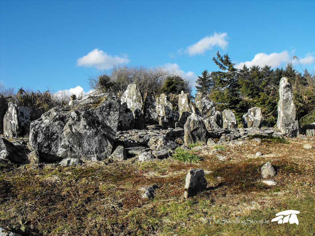
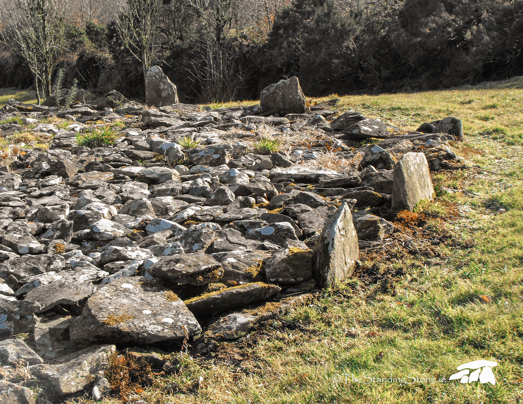
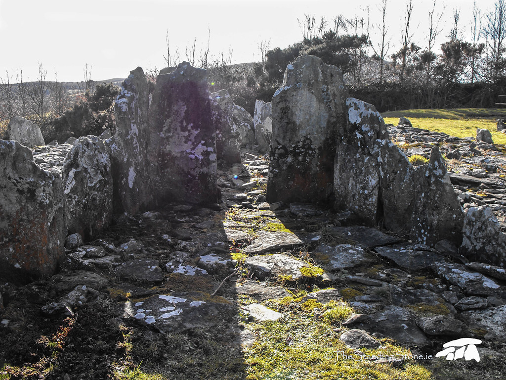
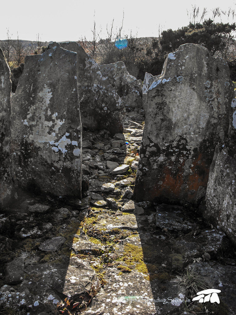
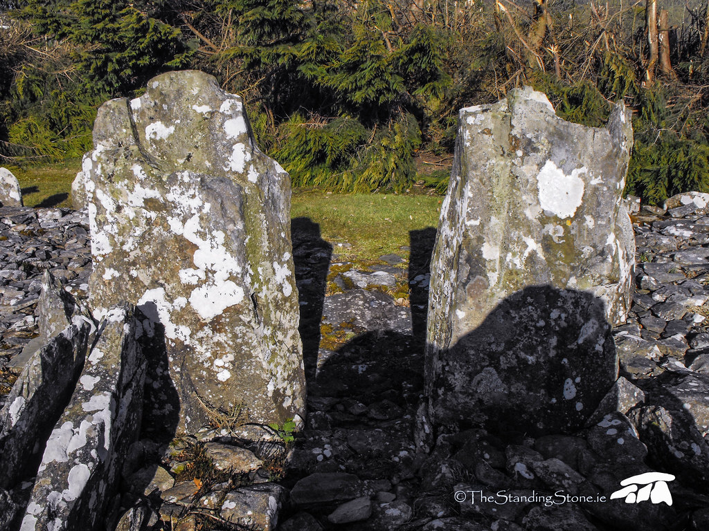
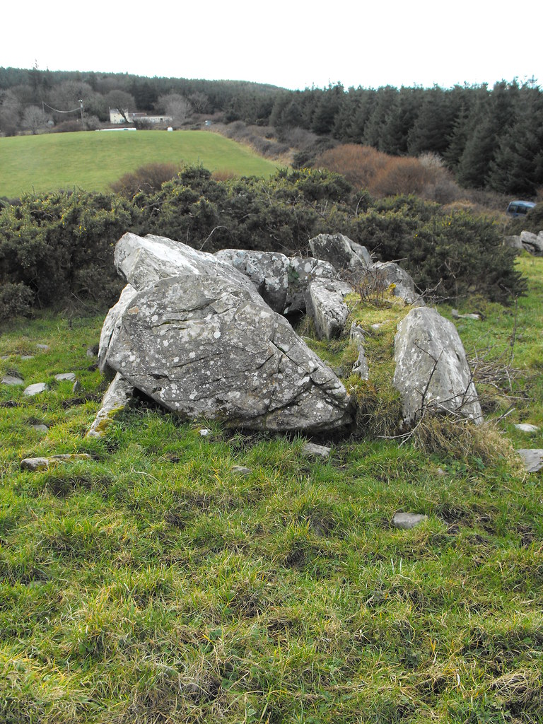
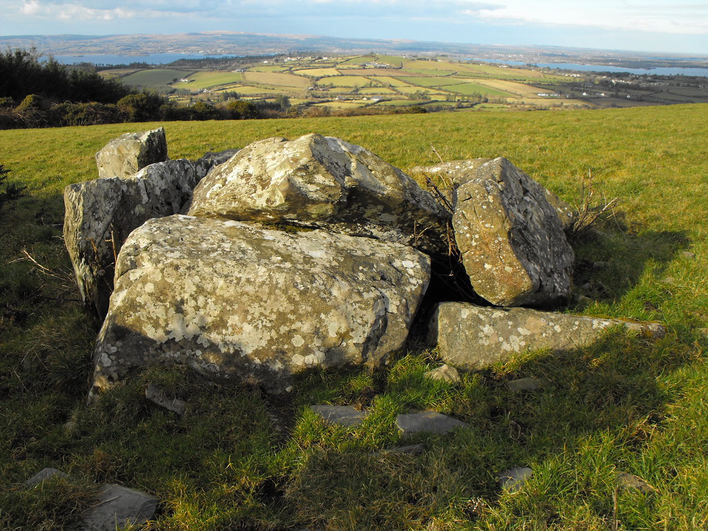
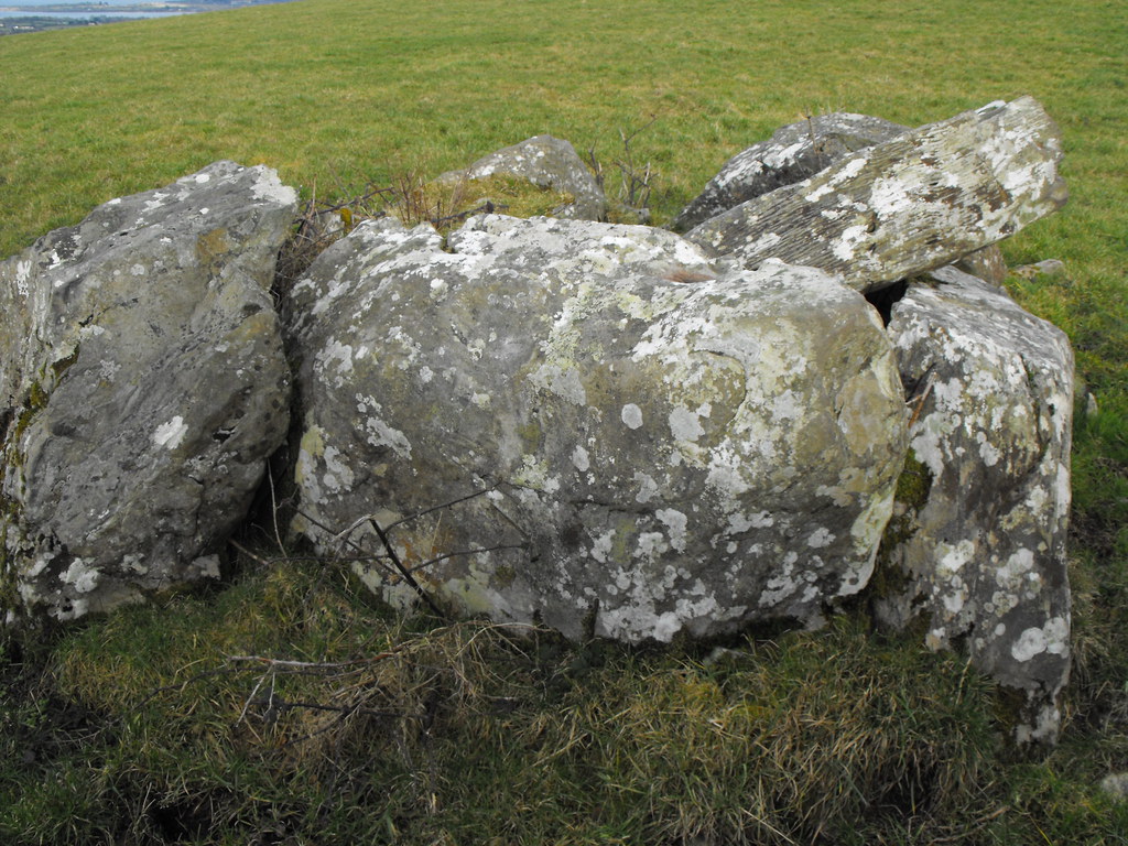
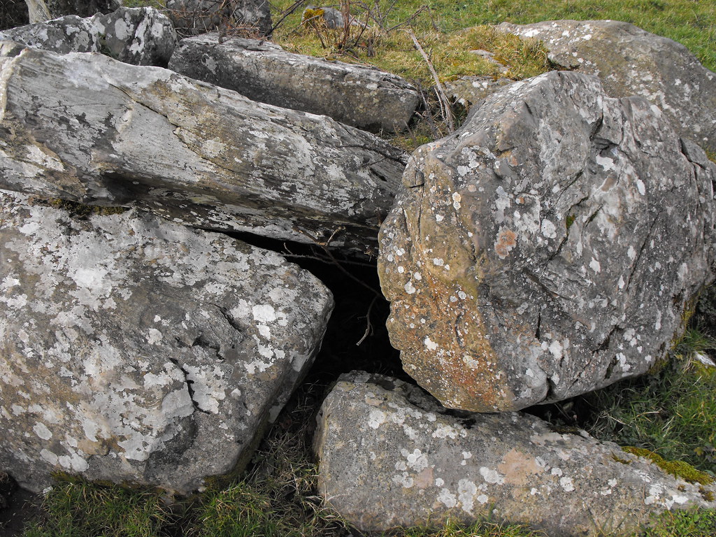
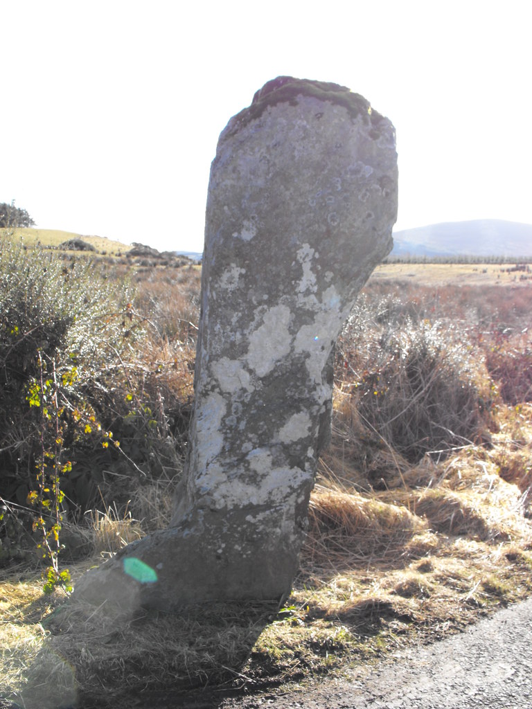
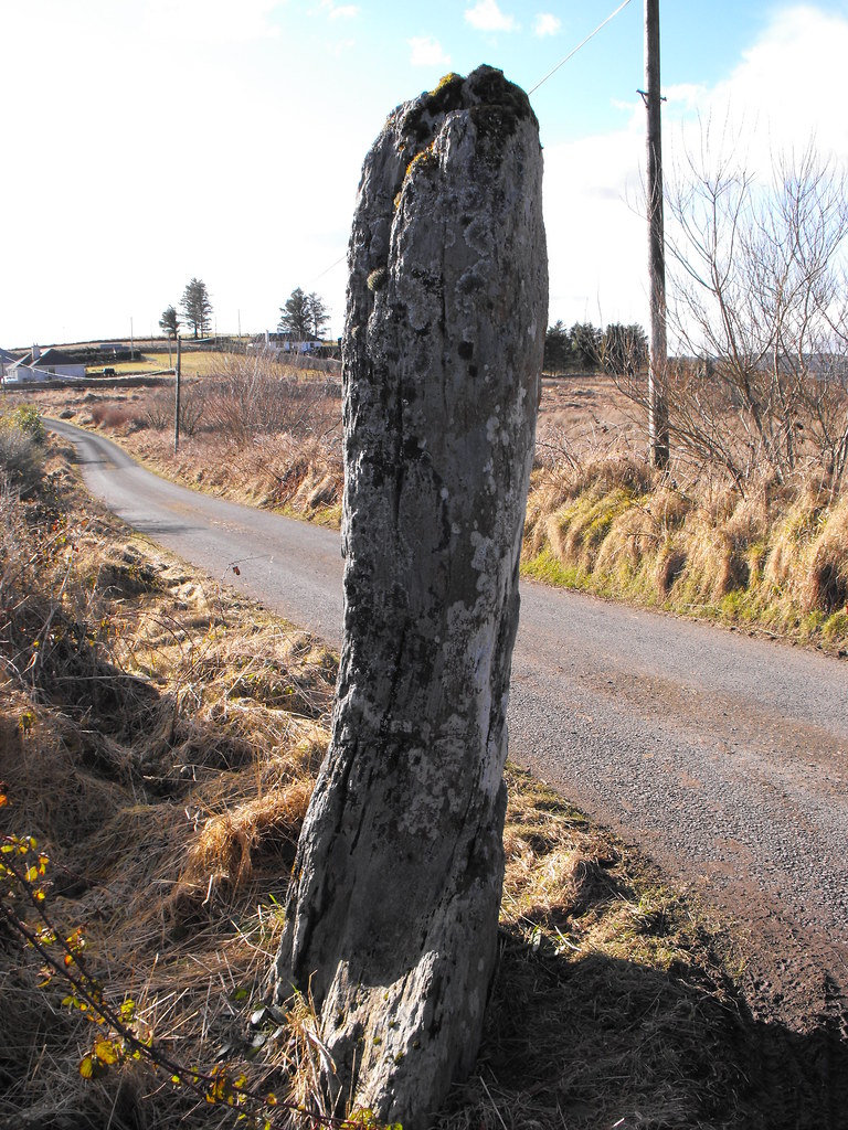
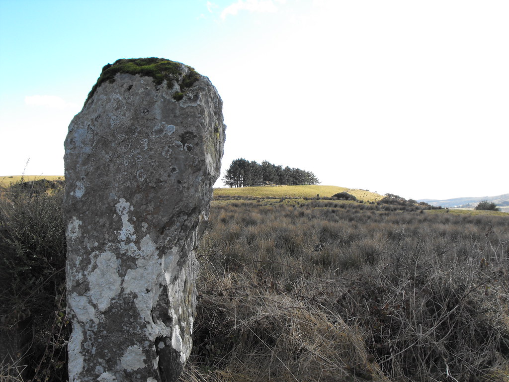
Description and History – This is a great standing stone and it’s amazing that it’s still here. It juts out right onto the road and, although it’s a quiet country road, it’s a miracle that nothing has hit it. The only place to pull in to see it this is right next to it and I think it’s only a matter of time before someone backs their car into it. It stands about 2m high and is connected to Diarmuid and Grainne. Diarmuid carried this stone on his back and Grainne carried a smaller one, which is now missing. However, there is another standing stone in this townland with a fallen stone nearby and I think that the myth may be referring to these stones instead (I need to get out and see these). This stone is very close to a nearby wedge tomb and I’m assuming that the stone was placed here because of the tomb and may be related to it in some way. This is a great stone to go and see.

Difficulty – Easy to spot, just don’t knock it over.

For more sites in Co. Tipperary, click here.
For more standing stones, click here.

 Looking towards the nearby wedge tomb, barely visible against the trees.
View The Standing Stone in a larger map

Shanballyedmond, Court Tomb, Co. Tipperary

Location – South of Rear Cross and the R503 in the foothills of the Slievefelim mountains.
OS: R 842 588 (map 66)
Longitude: 8° 14' 1.1" W
Latitude: 52° 40' 48.72" N
See map at the bottom of the page.

Description and History – This is an impressive tomb and is right in the middle of an area that is riddled with wedge tombs. Unfortunately, the surrounding landscape is residential and trees spoil the relationship that this tomb has with the geography of the area. The tomb was excavated in 1958 and partially restored. All capstones are now missing but the tomb boasts a kerbed cairn roughly 12.5m long and 9.5m wide in a U-shape, characteristic of wedge tombs and considering the proximity of many wedge tombs this is hardly surprising. The court (4 x 3m) leads to a gallery with 2 chambers divided by a single jamb stone. The entrance to the chamber is formed by two jamb stones and both chambers are roughly the same size (2m x 2m). The chamber is closed at the rear end by three stones. Some of the stones in the tomb reach just short of 2m. Excavations revealed a series of 34 post holes surrounding the tomb about 2m from the kerb. This indicates that there was a wooden element to the overall structure or perhaps a wooden structure predating the stone tomb. Bones of 6 Neolithic people were found with flint arrow heads, stone implements and some pottery.

The tomb is impressive but I feel it has been let down by the changes to the landscape. Any alignments are lost because of the trees and picnic tables sit only meters from the tomb making it appear like a garden feature more than an ancient tomb.

Difficulty – Easy to get to. There is a car-park and information board.

For more Neolithic tombs, click here.
For more sites in Co. Tipperary, click here.

The view as you walk up to the tomb.

It can be a little hard to decipher what you are looking at as all we are left with is really the skeleton of the tomb. 

Looking at the rear of the tomb, which would have originally been covered with an earth and stone mound.


The remains of the cairn and kerb.

Moving to the front of the tomb.

Looking at the entrance. 

Looking into the chambers from the court.


The rear of the second chamber. There are two non-functioning jambs at the base of these rear stones.

Looking out through the entrance.

The jamb stones dividing the chambers.
Enhanced by Zemanta
View The Standing Stone in a larger map

Lackamore, Wedge Tomb, Co. Tipperary.

Location – On Corbally Hill in the Arra Mountains, not far from ‘The Graves of the Leinstermen’ and close to the Killaloe slate quarries.
OS: R 770 788 (map 59)
Longitude: 8° 20' 27.36" W
Latitude: 52° 51' 36.25" N
GPS: R 77039 78843 (Accuracy - 5m)

See map at the bottom of the page.

Description and History – Given that this wedge tomb is close to the Killaloe slate quarries it is a miracle that it wasn’t swallowed up by them. Nevertheless, this tomb is in poor condition. All of the capstones are either missing or out of place and it would be easy to assume that you were looking at a random pile of stones. In fact the owner of the land was unaware that there was a tomb on his land and pointed me off towards a natural rock outcrop on his land. It just happened that I passed the stones and recognised them for what they were. The double walling remains on one side and this gives the tomb away. I wish I had seen the farmer after seeing the tomb to I could tell him where it was but he was gone. I will pop back when in the area to make sure he hasn’t mistakenly removed them. A septal stone also remains and the tomb is about 2.5m in length. In its day this would have been an impressive tomb. Still worth a visit if you are in the area.

Difficulty – This tomb is exactly where it says it is on the map and is just inside a field gate. However, the roads are narrow and the drive through the slate quarries can be a little hair-raising. The road up to the field is little more than a track and unless you have a four wheeled drive I would recommend parking and walking.

For more sites in Co. Tipperary, click here.
For more Neolithic tombs, click here.

The tomb as you approach from the field gate. It is fairly close to the track next to the field.

Stunning views from this tomb.

Looking into the collapsed chamber.

The double walling which is distinctive to wedge tombs.


View The Standing Stone in a larger map