
Location – Near the shores of Lough Derg, near Castletown fortified house. Not listed on the OS map.
OS: R 735 815 (map 59)
OS: R 735 815 (map 59)
Longitude: 8° 23' 37.31" W
Latitude: 52° 53' 1.62" N
GPS: R 73481 81458 (Accuracy – 10m)
See map at the bottom of the page.
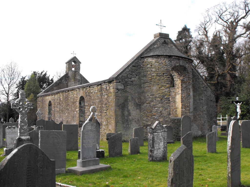
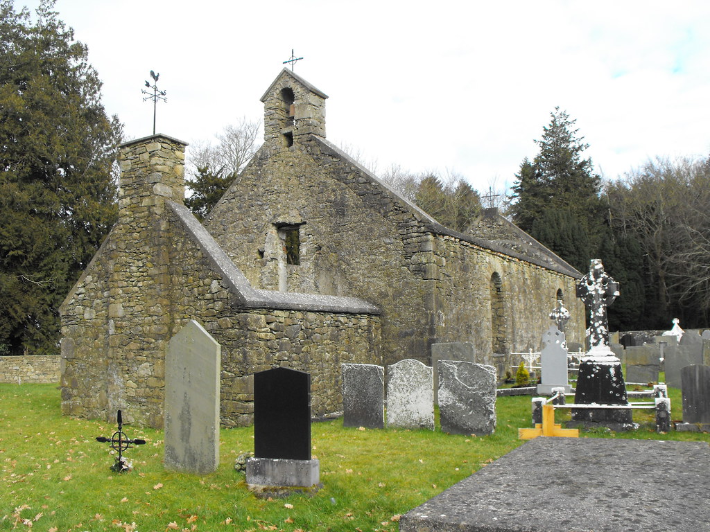
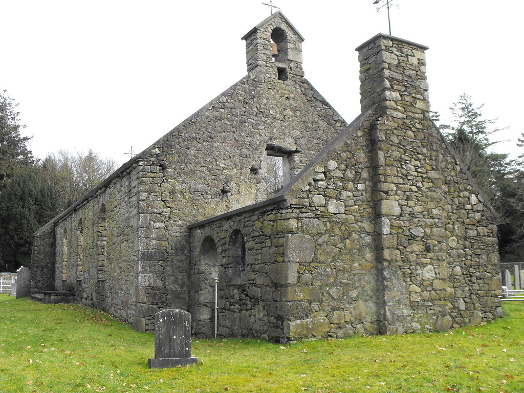
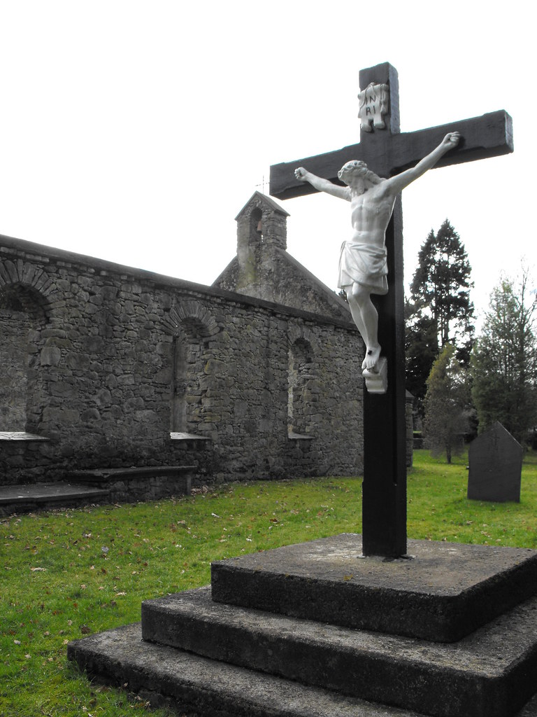
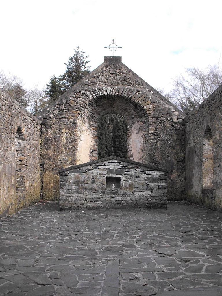
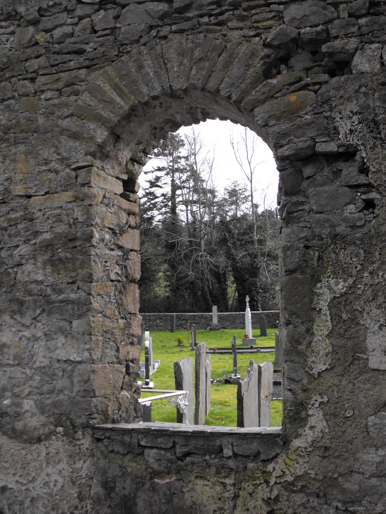
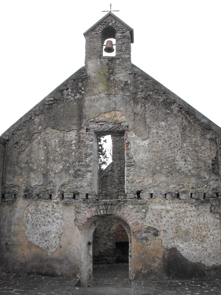
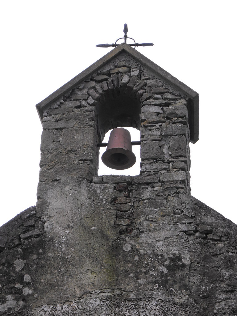
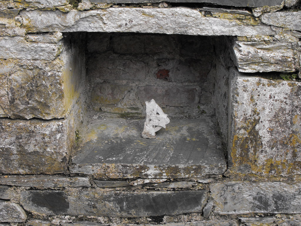
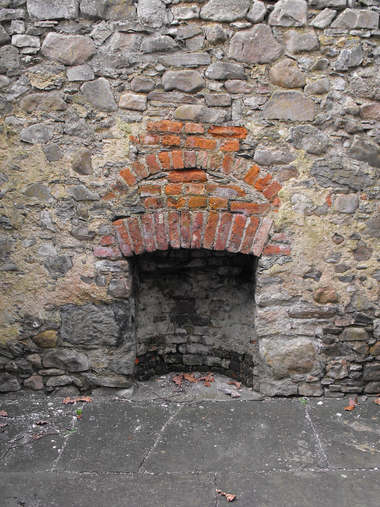
Description and History – As with the nearby castle, it was the end of the day when we arrived here by accident and a grave was being dug at the time we were there so we decided to leave them to it and not disturb them. This is a small late medieval church in surprisingly good repair. Most churches that I visit from this era are just walls covered in ivy. This has had some restoration work done to it and is easily accessible. The church is listed in the Royal Book of Visitations and lists a Daniel Kennedy as the vicar in the 17th century, although when in the century I don’t know. This is a lovely little ruin and very well kept.
Difficulty – Not listed on the OS map. Ample parking.
For more ecclesiastical sites, click here.
For more sites in Co. Tipperary, click here.
Latitude: 52° 53' 1.62" N
GPS: R 73481 81458 (Accuracy – 10m)
See map at the bottom of the page.
Description and History – As with the nearby castle, it was the end of the day when we arrived here by accident and a grave was being dug at the time we were there so we decided to leave them to it and not disturb them. This is a small late medieval church in surprisingly good repair. Most churches that I visit from this era are just walls covered in ivy. This has had some restoration work done to it and is easily accessible. The church is listed in the Royal Book of Visitations and lists a Daniel Kennedy as the vicar in the 17th century, although when in the century I don’t know. This is a lovely little ruin and very well kept.
Difficulty – Not listed on the OS map. Ample parking.
For more ecclesiastical sites, click here.
For more sites in Co. Tipperary, click here.


View The Standing Stone in a larger map