
Location – On the shore of Lough Derg, this site is not marked on the OS maps.
OS: R 734 816 (map 59)
OS: R 734 816 (map 59)
Longitude: 8° 23' 41.19" W
Latitude: 52° 53' 4.55" N
GPS: R 73428 81591 (Accuracy 8m)
See map at the bottom of the page.
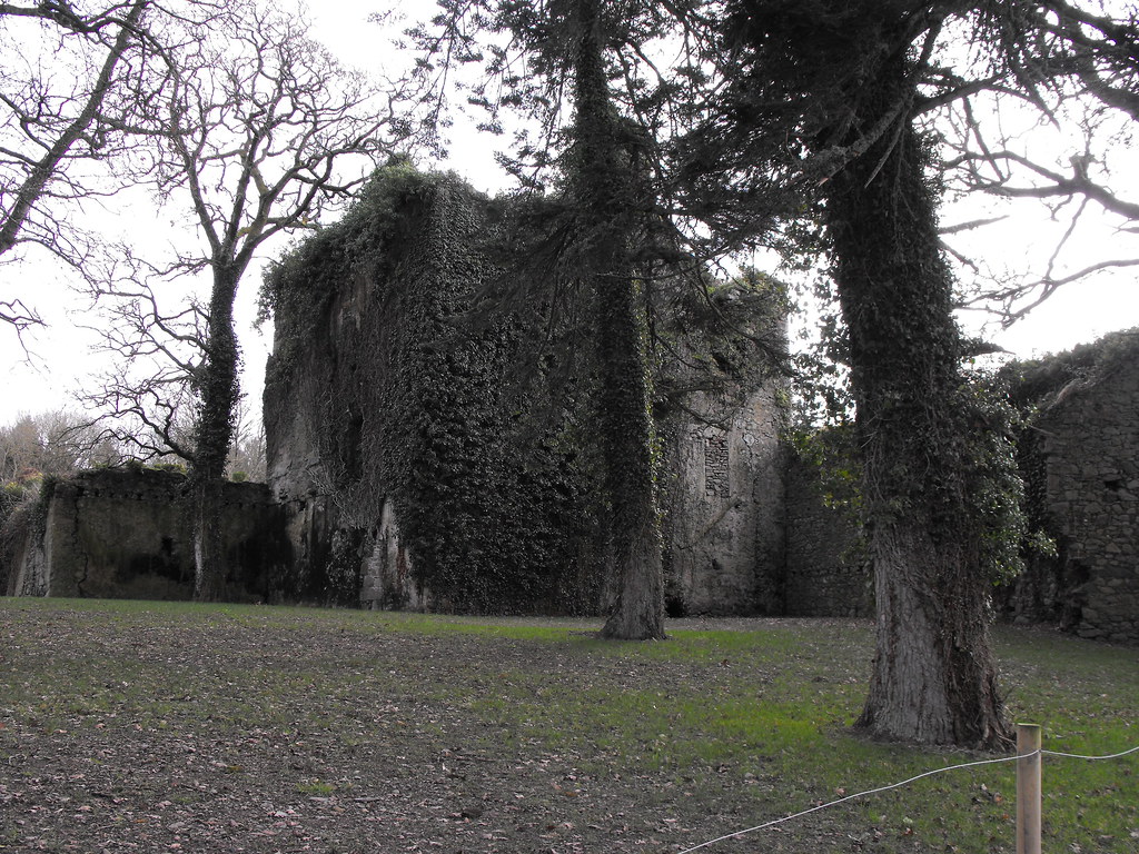
Description and History – This is a site that I will definitely have to revisit. It was at the end of a long day and I didn’t even know that this place existed. We were driving back from a day visiting other sites in the area and we saw this as we drove past. The light was fading so we didn’t have time to have a closer look. This is a three storey rectangular fortified house with a ruined entrance. I could find no details of its history.
Difficulty – Follow the co-ordinates as this is not marked on the map. There is ample place to stop and park. Permission is necessary as this is in someone’s front garden.
For more castles, click here.
For more sites in Co. Tipperary, click here.
Latitude: 52° 53' 4.55" N
GPS: R 73428 81591 (Accuracy 8m)
See map at the bottom of the page.
Description and History – This is a site that I will definitely have to revisit. It was at the end of a long day and I didn’t even know that this place existed. We were driving back from a day visiting other sites in the area and we saw this as we drove past. The light was fading so we didn’t have time to have a closer look. This is a three storey rectangular fortified house with a ruined entrance. I could find no details of its history.
Difficulty – Follow the co-ordinates as this is not marked on the map. There is ample place to stop and park. Permission is necessary as this is in someone’s front garden.
For more castles, click here.
For more sites in Co. Tipperary, click here.


View The Standing Stone in a larger map