
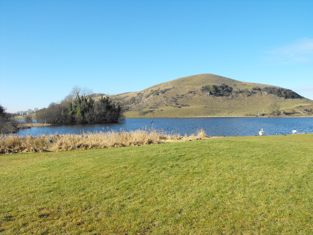
Location – This site is visible from the car-park and can viewed easily from the shore.
OS: R 646 412 (map 65)
Longitude: 8° 31' 15.51" W
Latitude: 52° 31' 15.77" N
GPS: R 64641 41193 (Accuracy: 7m)
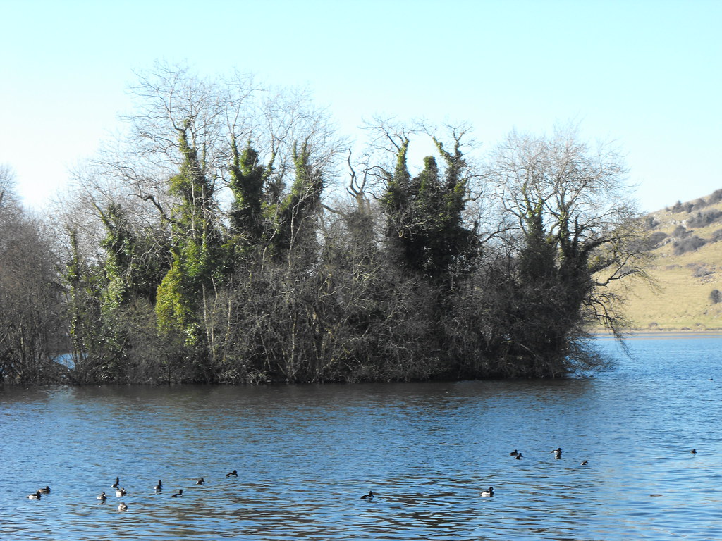
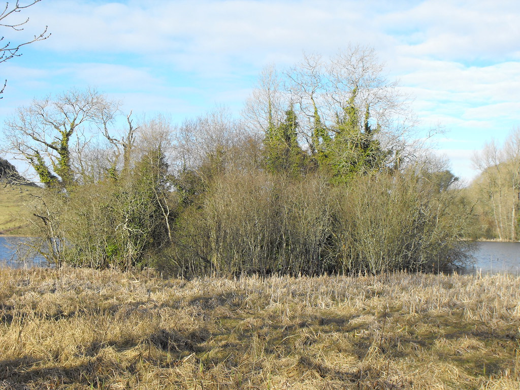
Description and History – This crannog is largely overgrown and since it is unreachable it is hard to say much about it. You can make out some of the boulders near the bottom of the trees and it appears to be bout 30m in diameter. When the Lough level is low the island can be reached on foot but this wasn’t the case when I was there. The lake was partially drained in the 19th century meaning that before this it was only accessible by boat.
Difficulty – You can’t get to this site but it is easily viewed from the shore.
For more sites around Lough Gur, click here.
For more sites in Co. Limerick, click here.
OS: R 646 412 (map 65)
Longitude: 8° 31' 15.51" W
Latitude: 52° 31' 15.77" N
GPS: R 64641 41193 (Accuracy: 7m)
Description and History – This crannog is largely overgrown and since it is unreachable it is hard to say much about it. You can make out some of the boulders near the bottom of the trees and it appears to be bout 30m in diameter. When the Lough level is low the island can be reached on foot but this wasn’t the case when I was there. The lake was partially drained in the 19th century meaning that before this it was only accessible by boat.
Difficulty – You can’t get to this site but it is easily viewed from the shore.
For more sites around Lough Gur, click here.
For more sites in Co. Limerick, click here.
View The Standing Stone in a larger map