
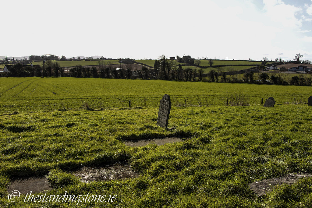
Location – Near the entrance to Shaen hospital between Portlaoise and Emo. It is located opposite the pile of rubble that use to be Coolbanagher Castle.
OS: N 515 032 (map 54)
GPS: N 51478 03226 (Accuracy – 6m)
Longitude: 7° 13' 54.44" W
Latitude: 53° 4' 37.92" N
See map at the bottom of the page.
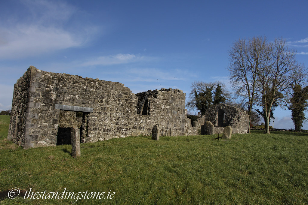
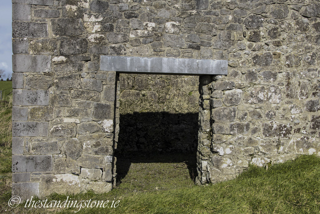
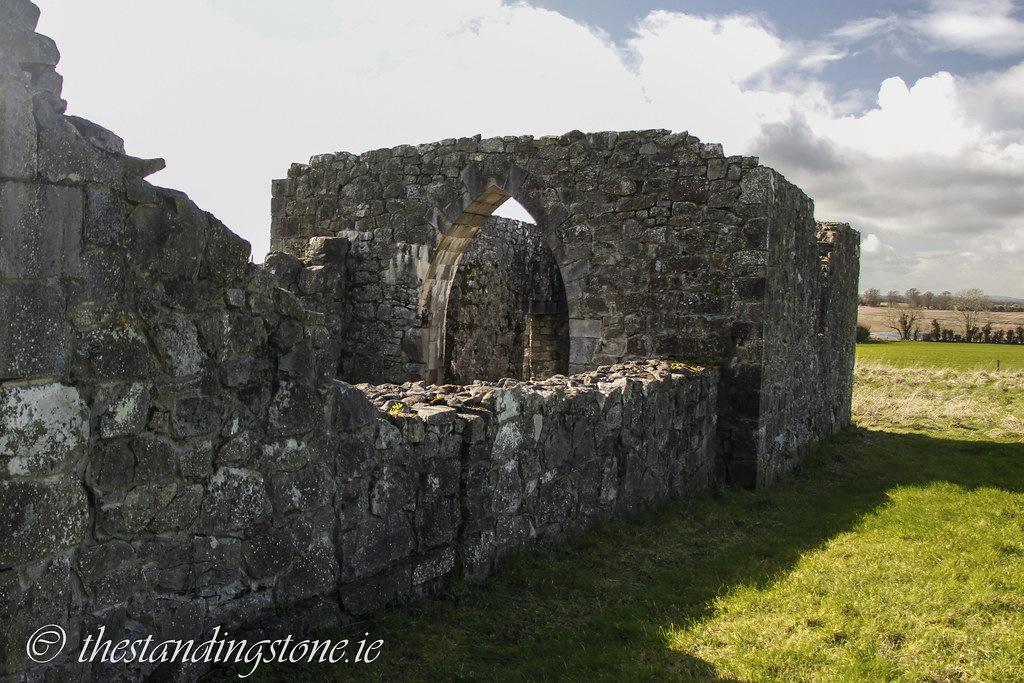
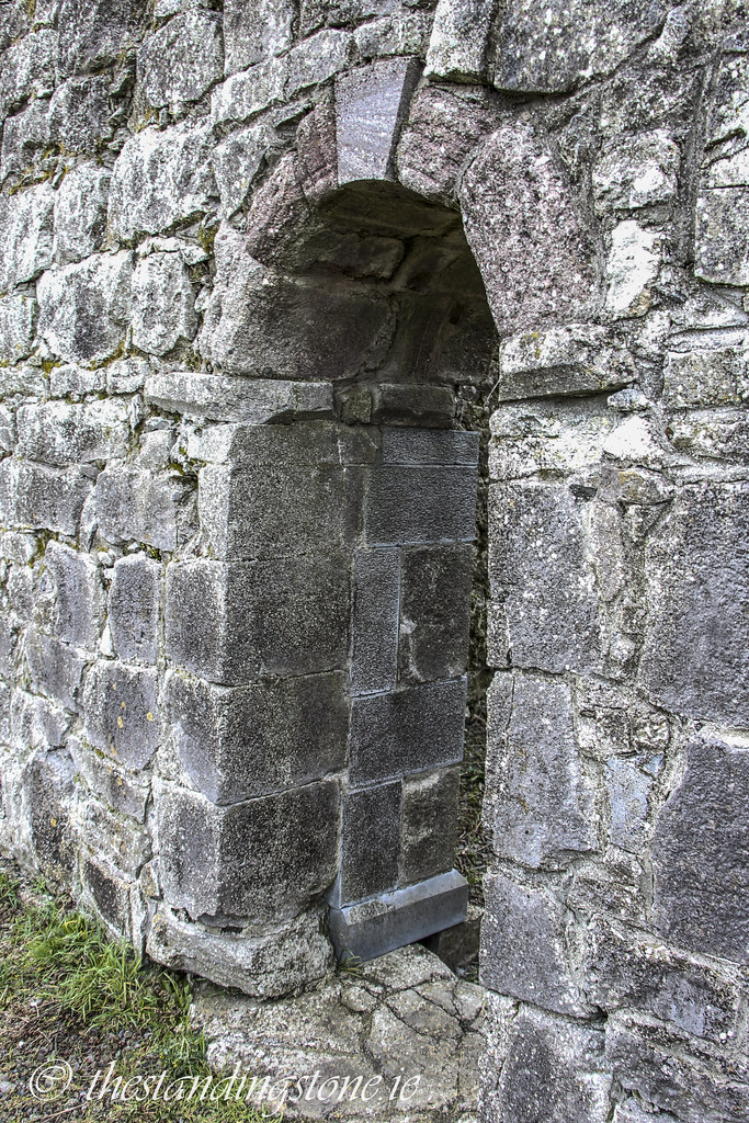
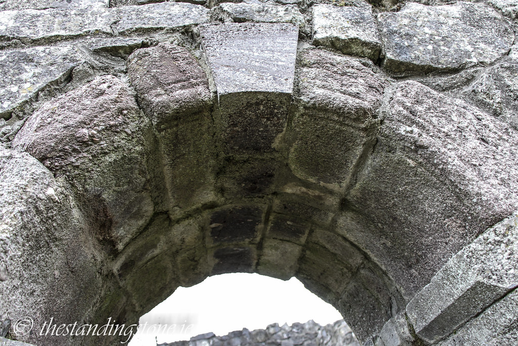
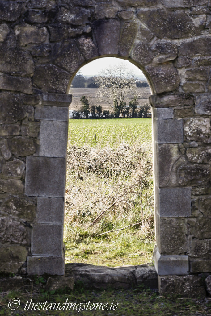
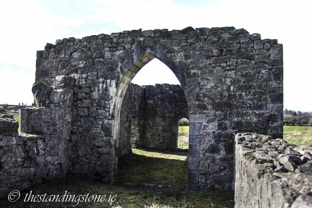
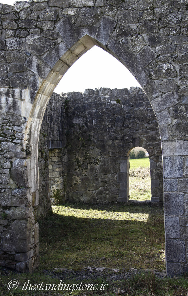
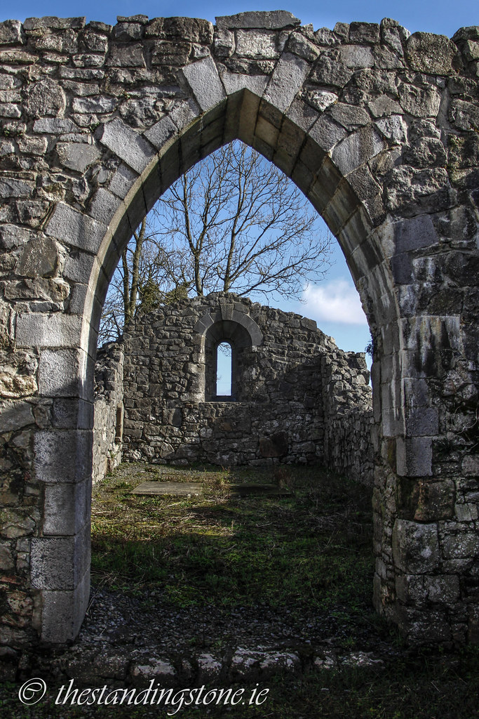
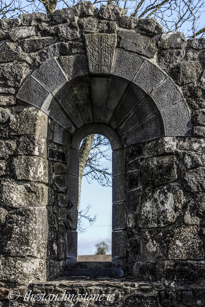
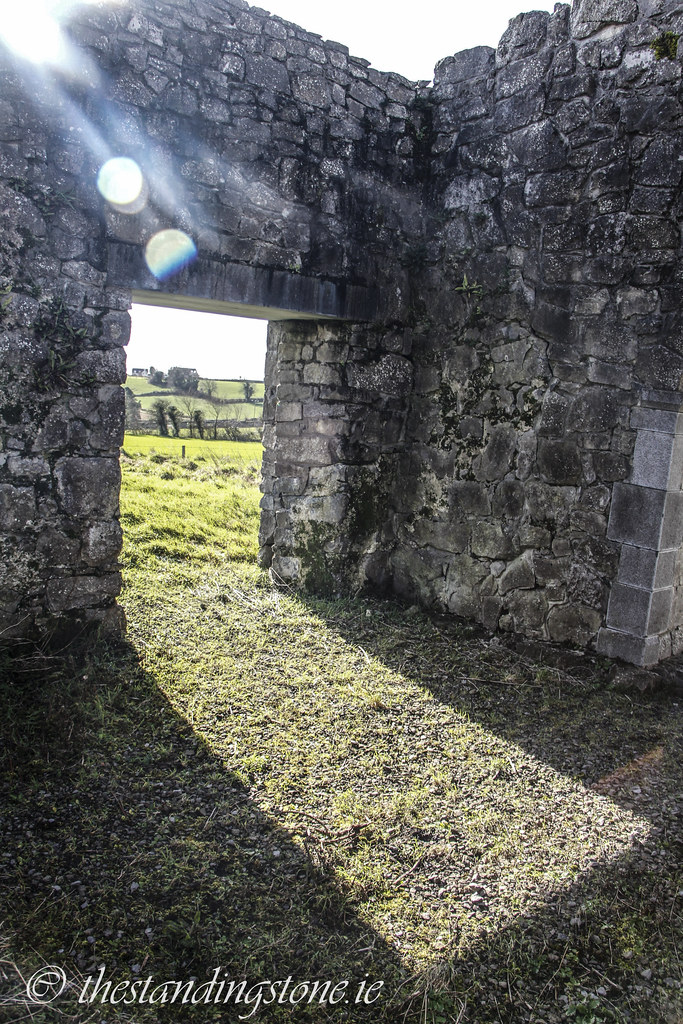
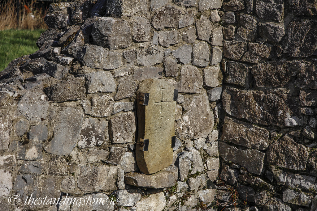
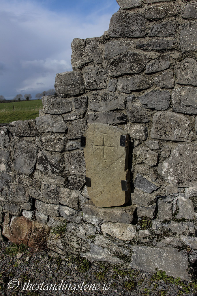
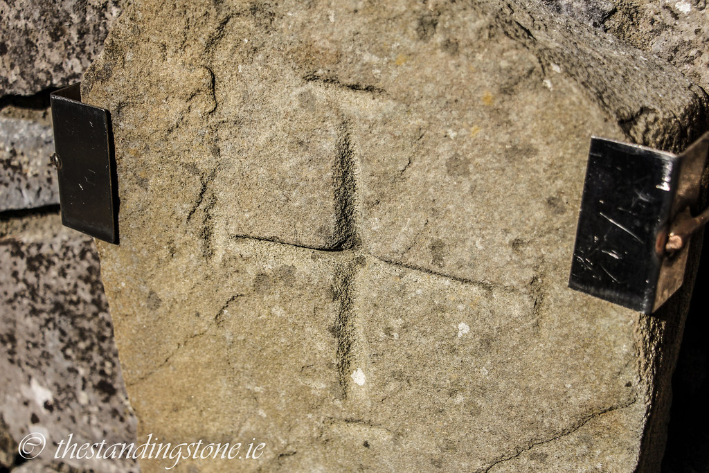
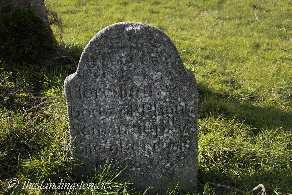
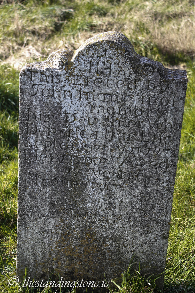
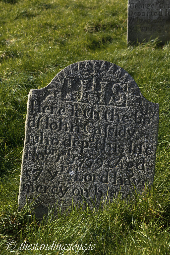
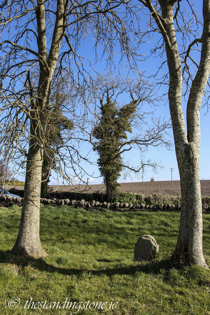
Description and History – This was a great surprise. I was in the area to see the demolished remains of Coolbanagher castle and as this was just across the road, I naturally popped in. I had read about the church in the Archaeological Inventory of County Laois and I got the impression that was not much here beyond a now blocked up Romanesque doorway. How wrong I was? That report had been written over 20 years ago and in that time some work has been carried out. The doorway has been unblocked and all doorways and windows have been restored, some with newly cut stone. One opening has concrete lintels put in which doesn’t reflect the original architecture, but it ensures the building won’t collapse so I won’t complain about that. One little surprise was a medieval cross slab pinned to the inside wall of the church. I was unaware this was there and assume it was found subsequent to the report mentioned above.
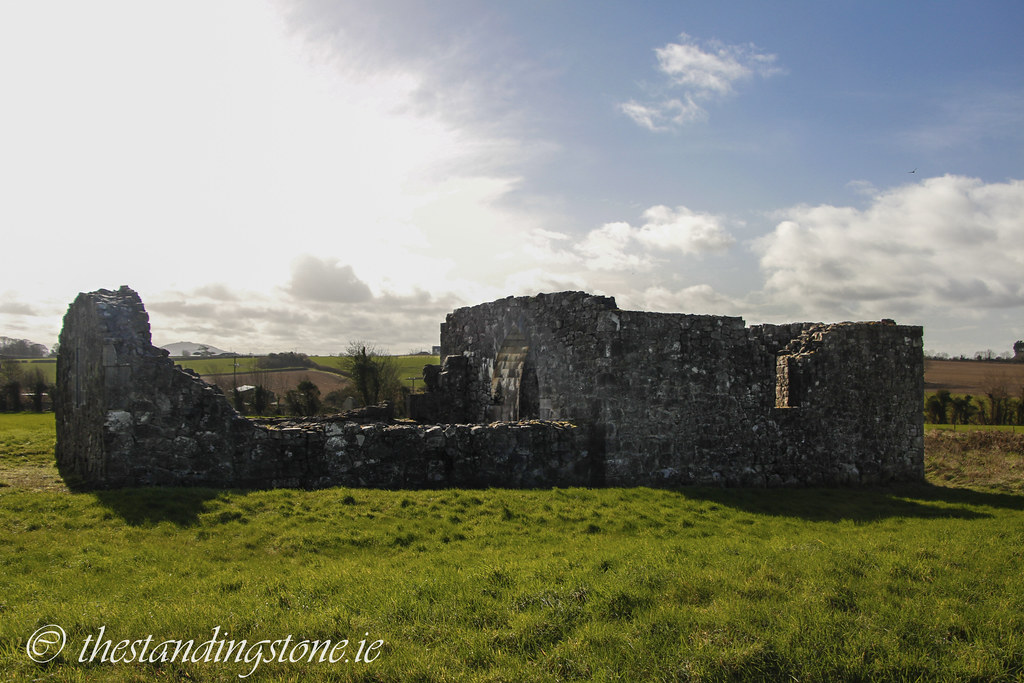
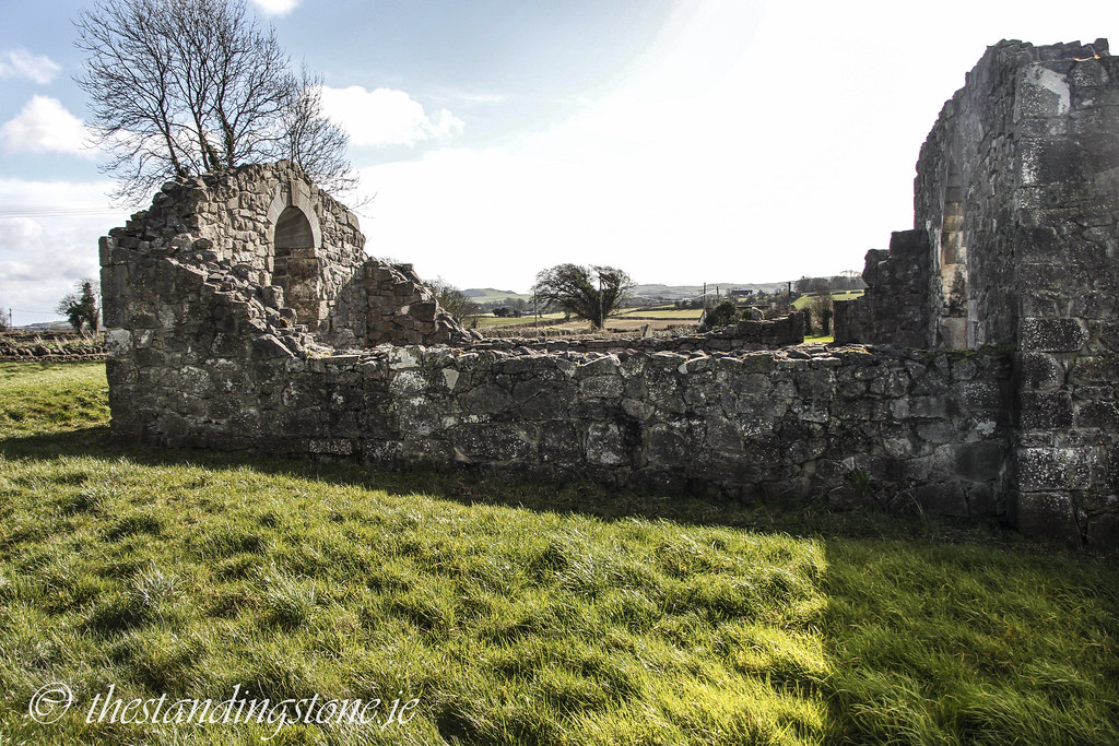
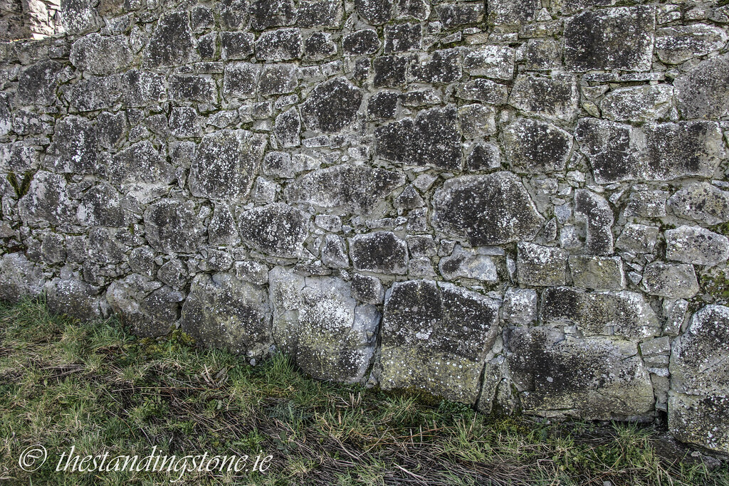
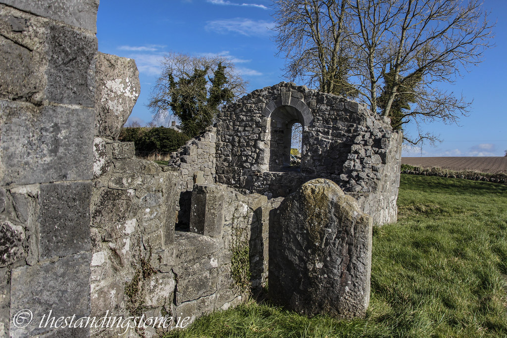
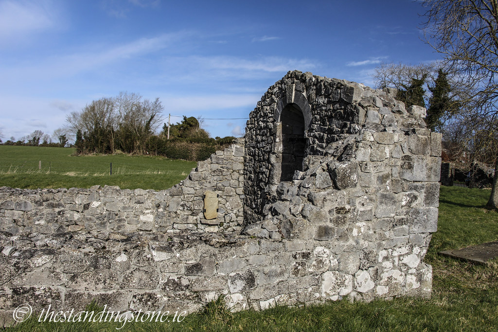
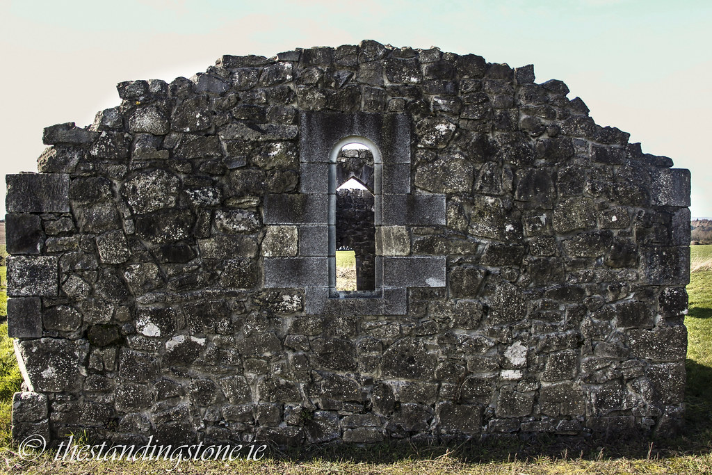
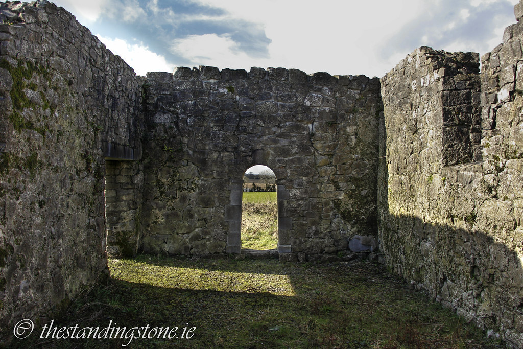
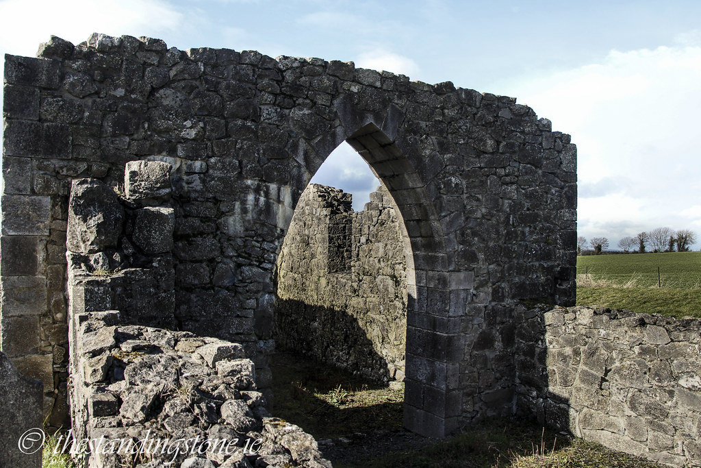
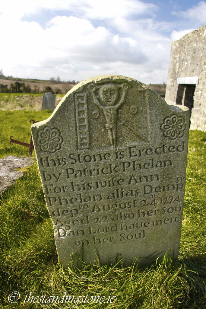
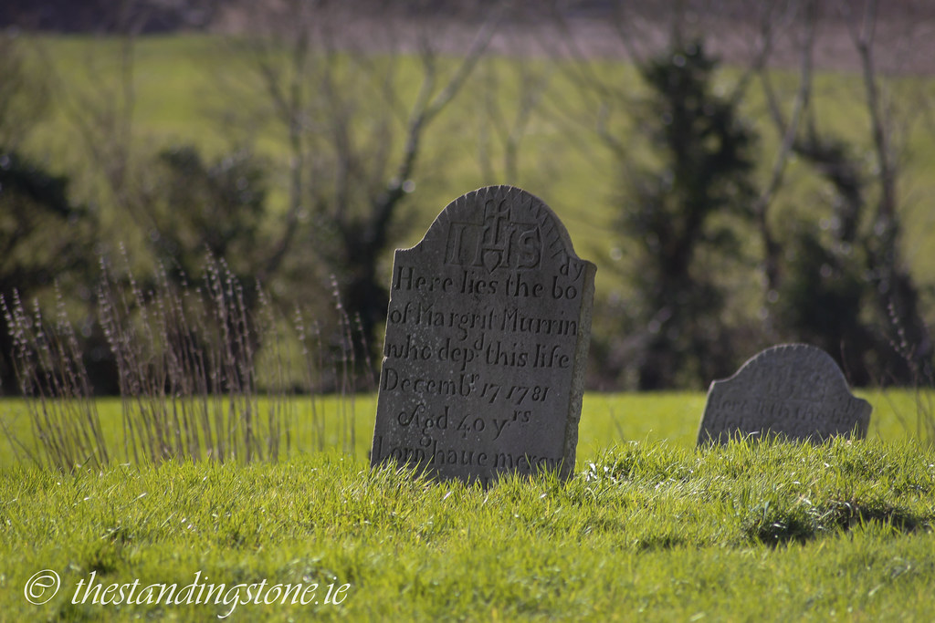
The present remains of the church consist of a nave and chancel church with the base of the dividing Romanesque wall remaining. It has incorrectly been restored in the Gothic style. The church measures 19m x 6.5m. One windows remains while the others are broken out. One last surprise was the gravestones in the graveyard. They are the most pristine old gravestone that I have ever seen. One was dated from 1713 and looked like it could have been carved yesterday. I subsequently found out that they has all been cleaned and restored to make them legible. Whoever did it, did a fantastic job. A FAS scheme resulted in many finds and an archaeological survey which showed that there were four building phases at the site. I had identified three but from photos I can now make out the fourth. The first was a pre-Romanesque structure which can still be identified from the large stones around the base of the church. The second was the Romanesque phase which can be seen in the small doorway. The third phase can be seen in the remaining Gothic style window. The last phase, and one I didn’t spot, was post-medieval sometime after the burning of the church in 1779. It was subsequently used as a barn.
As to the history of the church Ed Mooney has done some fantastic research which I will summarise here. You can access his own article by clicking here. The church is on the site of an early Christian monastery associated with both Saint Lughach and Saint Sinche. Saint Aengus apparently visited the monastery in the 9th century and began writing his ‘Martyrology of Tallaght’. He was also inspired to write ‘Feilire’ here after a vision of angels. The church changed hands many times in the 16th and 17th centuries before being burned in 1779. By 1903 it was a ruin.
The day we went here was also the first day that Maria J. Guillen took over photographing duties for The Standing Stone and I’m extremely pleased with the results below.
Difficulty – Easy to spot and get to and there is room to park on the grass verge next to the graveyard.
For more ecclesiastical sites, click here.
For more sites in Co. Laois, click here.


View The Standing Stone in a larger map