Location – A few km West of Tullamore.
OS: N 273 238 (map 48)
Longitude: 7° 35' 26.99" W
Latitude: 53° 15' 49.91" N
GPS: N 27241 23805 (Accuracy – 7m)
See map at the bottom of the page.
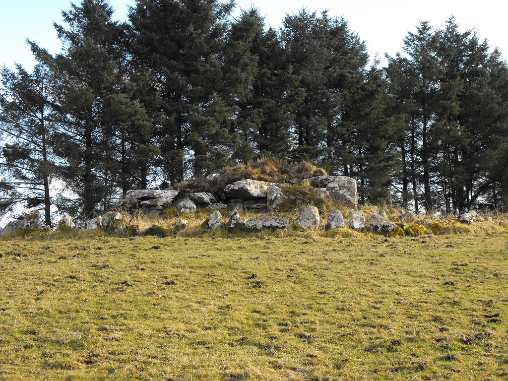
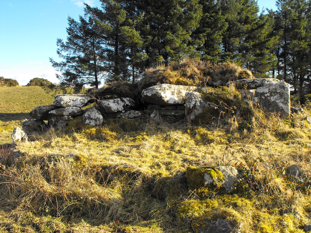
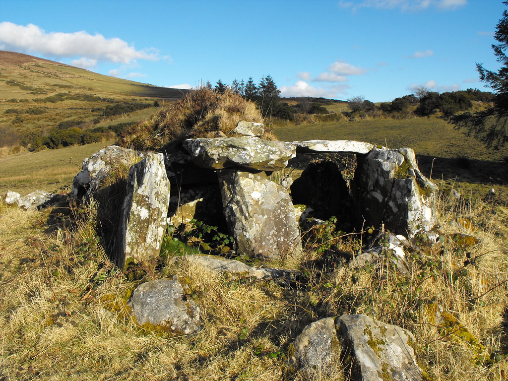
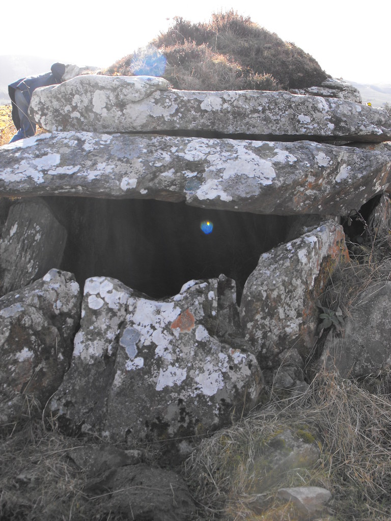
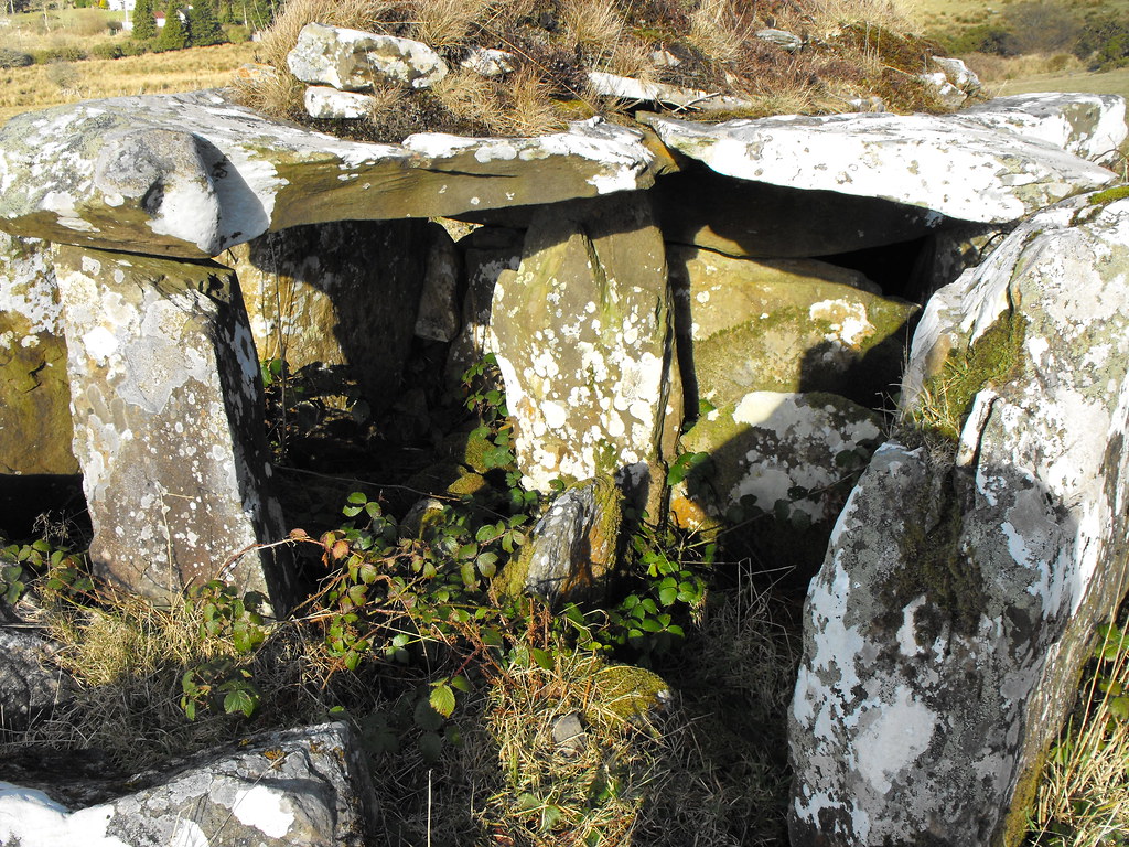
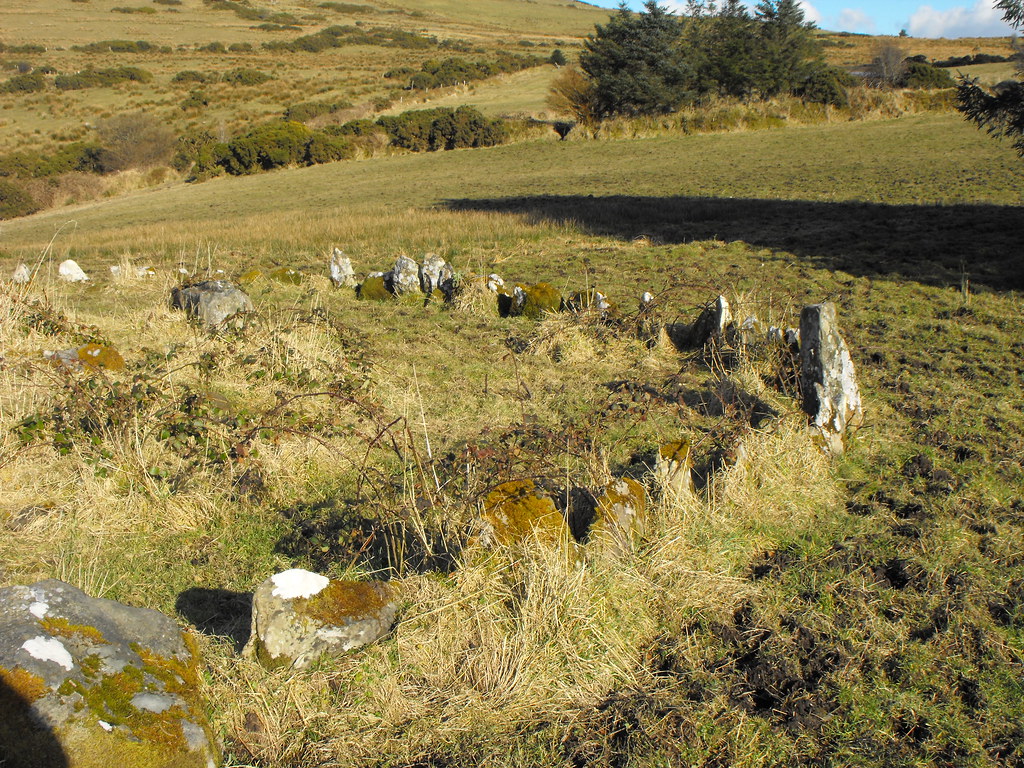
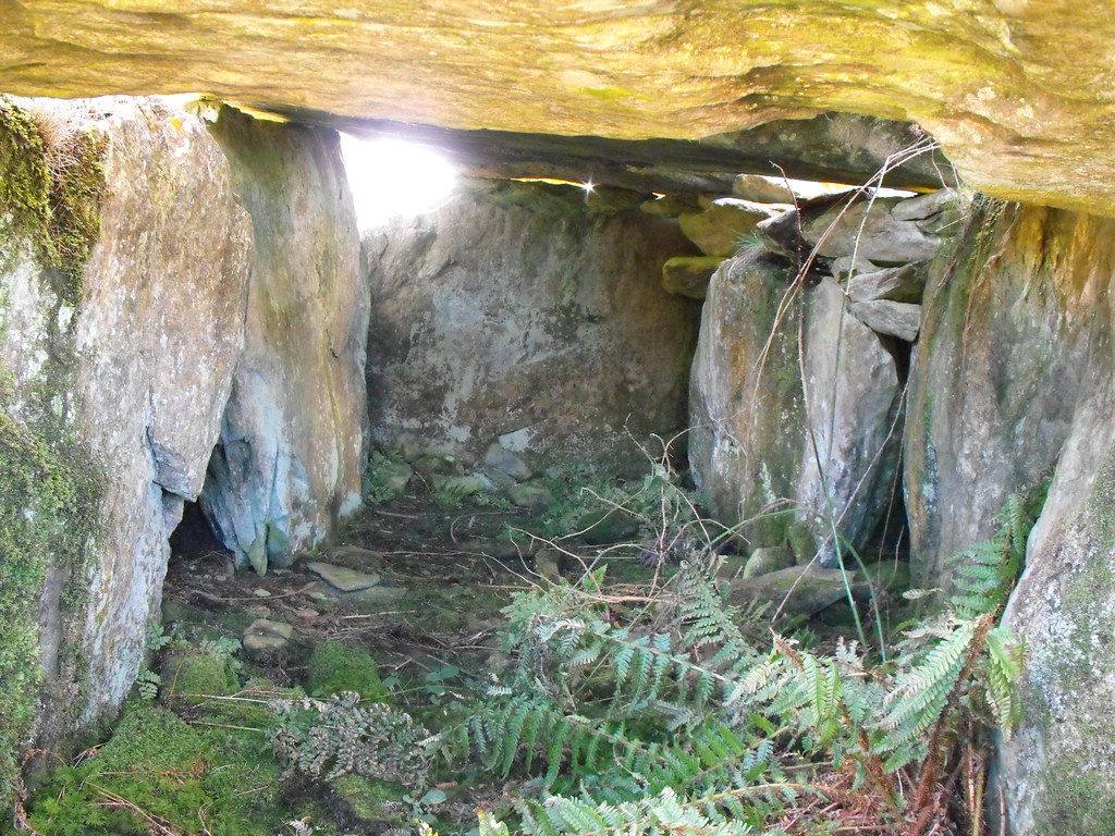
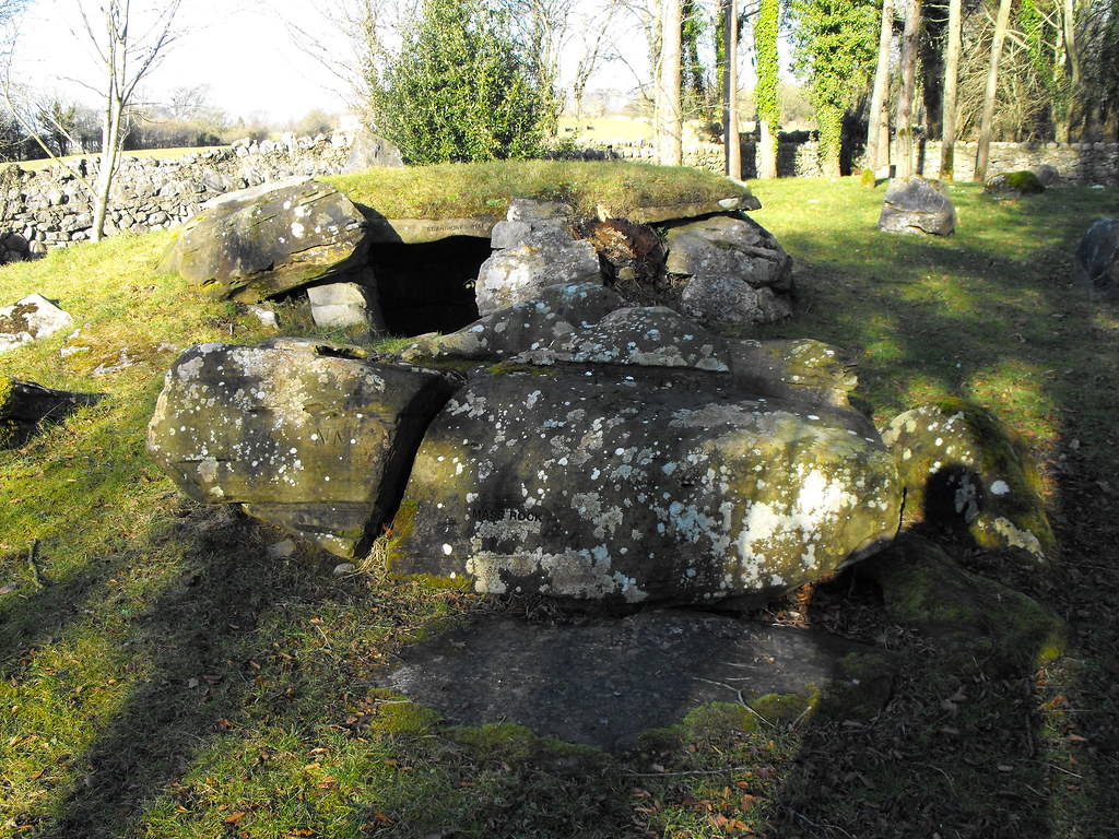
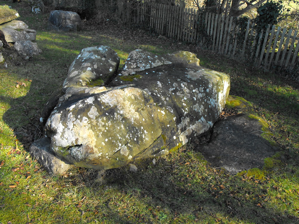
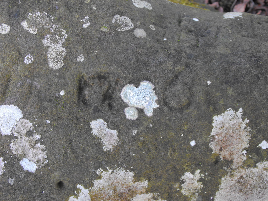
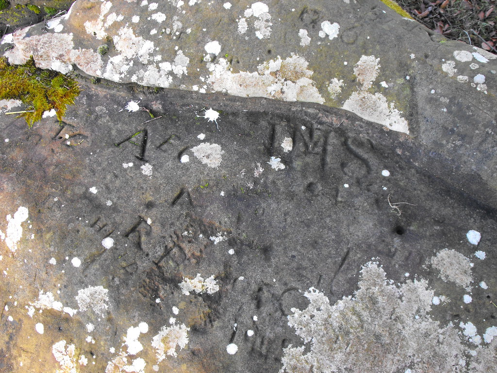
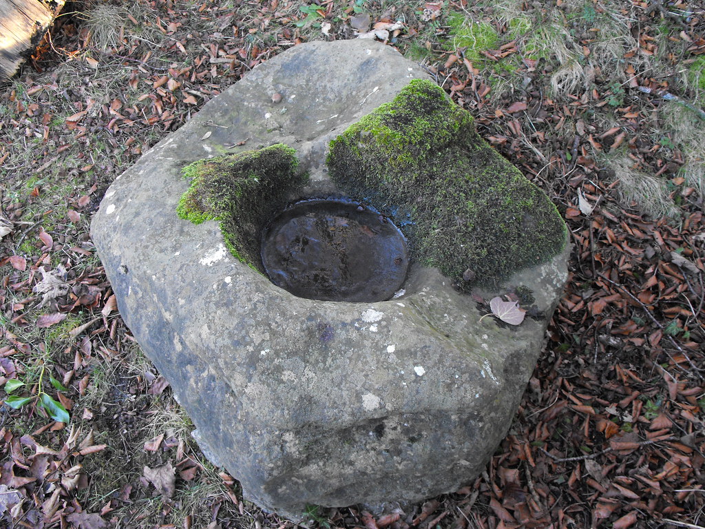
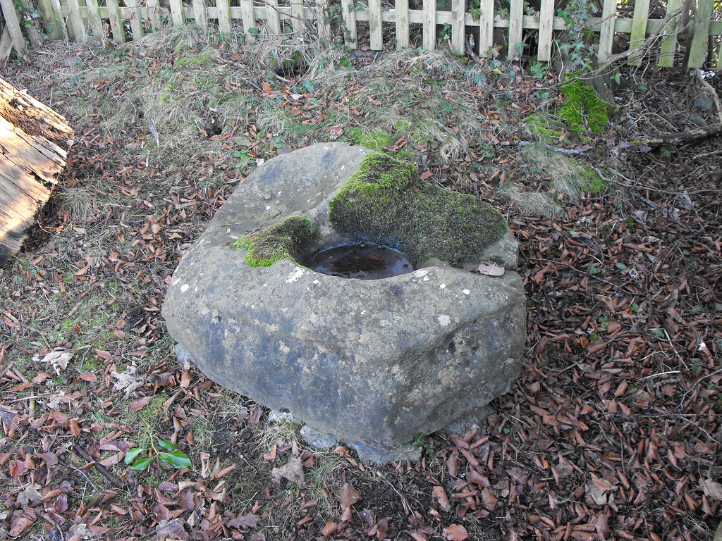
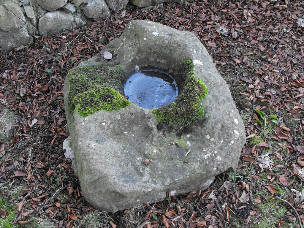
Description and History – There is more to this place than meets the eye. It has obviously been well looked after in the past few years and I don’t really like the modern inscriptions on the stones, but that’s the price being paid for maintenance. The well, dedicated to St. Anthony, is now dried up but everything about it screams ancient to me. The well and the mass rock are instantly reminiscent of megalithic tombs. This is an area largely absent of megalithic tombs so I’m not saying that it is their origins but that is what they reminded me of. There is an unmarked bullaun stone here as well. I spent some time here looking around. There are many large boulders here, all of them now marked with modern inscriptions emphasising aspects of Ireland’s penal times. Well worth a visit.
Difficulty – It’s down a little track way so parking is a little tricky but possible.
For more sites in Co. Offaly, click here.
For more ecclesiastical sites, click here.
OS: N 273 238 (map 48)
Longitude: 7° 35' 26.99" W
Latitude: 53° 15' 49.91" N
GPS: N 27241 23805 (Accuracy – 7m)
See map at the bottom of the page.
Description and History – There is more to this place than meets the eye. It has obviously been well looked after in the past few years and I don’t really like the modern inscriptions on the stones, but that’s the price being paid for maintenance. The well, dedicated to St. Anthony, is now dried up but everything about it screams ancient to me. The well and the mass rock are instantly reminiscent of megalithic tombs. This is an area largely absent of megalithic tombs so I’m not saying that it is their origins but that is what they reminded me of. There is an unmarked bullaun stone here as well. I spent some time here looking around. There are many large boulders here, all of them now marked with modern inscriptions emphasising aspects of Ireland’s penal times. Well worth a visit.
Difficulty – It’s down a little track way so parking is a little tricky but possible.
For more sites in Co. Offaly, click here.
For more ecclesiastical sites, click here.
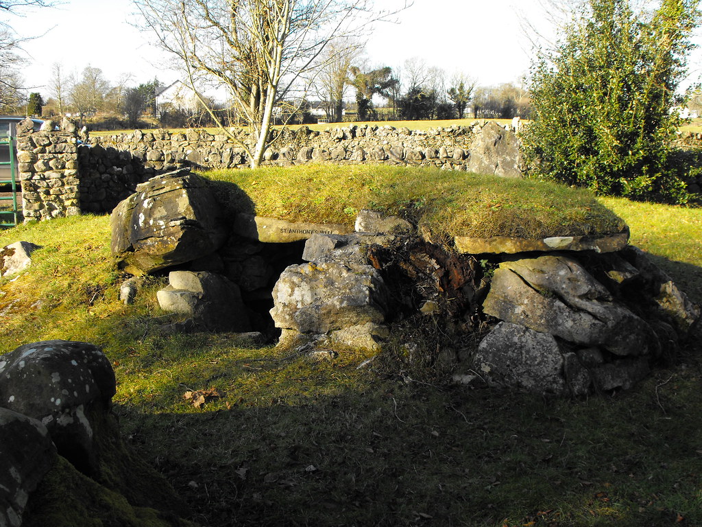
St. Anthony's well.


View The Standing Stone in a larger map