
Location – This hill-fort is close to Newmarket-on-Fergus and in the grounds of Dromoland castle. It is open to the public and has a carpark.
GPS: R 40731 70572 (Accuracy – 0m)
OS: R 407 705 (map 58)
Longitude: 8° 52' 42.6" W
Latitude: 52° 46' 58.71" N
Description and History – I arrived at Mooghaun rather randomly. I was a having a day where I was visiting random red dots on the ordinance survey map and this was one I arrived at. It’s such an immense site that it’s rather difficult to view it from the ground. This is one of those occasions that I really wish I had a drone to take pictures from the air.
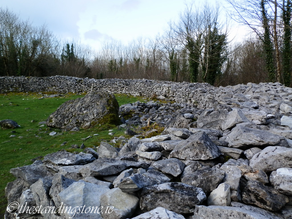
The hill-fort is the largest of its kind in Ireland and dates back to c.950 BC for its original construction. Three concentric stone ramparts form the hillfort, covering an area of roughly 37 acres. The stones used are limestone. There are also three cashels within the hill-fort all with a post 500 AD date. Two of these cashels are in a well-preserved state while the third is largely visible as a circular rocky area. Repairs were made to two of the cashels in 19th century when the residents of Dromoland estate would use them for picnics. Much of the interior of the cashels were also destroyed to facilitate this. Dotted around the hill-fort, and I’m sure I missed many, are house-sites and it is estimated that up to 12 families lived within the fort. It was likely the seat of important local rulers and clearly has a strong defensive purpose but could have also been used for ritual purposes. Today the hill-fort is covered in trees but, if cleared, would offer substantial views of the surrounding countryside.
The site was excavated multiple times between 1992 and 1995 as part of the North Munster Research Project under the Discovery Programme. A dig in 1992 showed little of archaeological interest outside the main rampart but did reveal some alterations to the bedrock to make way for the fort. A second did revealed evidence of activity on the side from the Neolithic period as demonstrated by the present of a chert arrow head and blades. There were several finds in 1993 including a bronze pin stem with silver inlay which indicate activity during the first centuries AD, although there was no evidence of building work during this period. Further digs in 1994 revealed further evidence for occupation of the site prior to the construction of the ramparts in the form of coarse-ware pottery and unburnt animal bones. It was in the final dig in 1995 that the site was dated to the late Bronze Age.
In 1854 a hoard of gold objects was found next to the site by workers constructing a railway. The workers sold the gold and much of it was melted down but a few objects would their way into the National Museum of Ireland and British museum. It was one of the largest gold hoards found in Western Europe.
It’s a truly fascinating place with plenty to see and explore.
Difficulty – Accessing the site is easy as it’s open to the public. The site is rather large, however, and requires a lot of uphill walking.
For more hill forts, cashels and hut/house sites, click here.
For more sites in Co. Clare, click here.
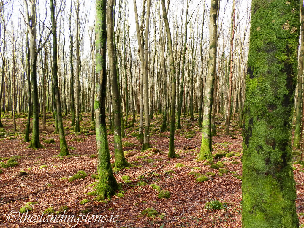
It's now a heavily wooded area but would not have been when it was constructed as it would obscure the view for defense.

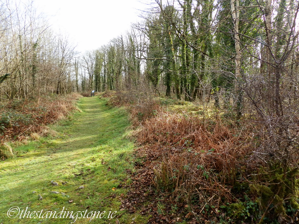
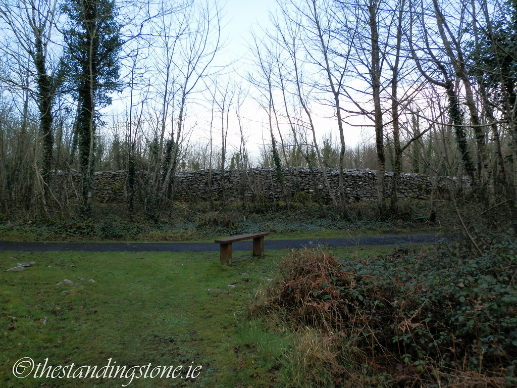
A modern path guides you through the site.
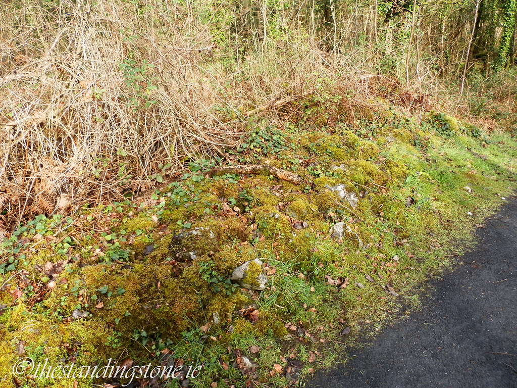
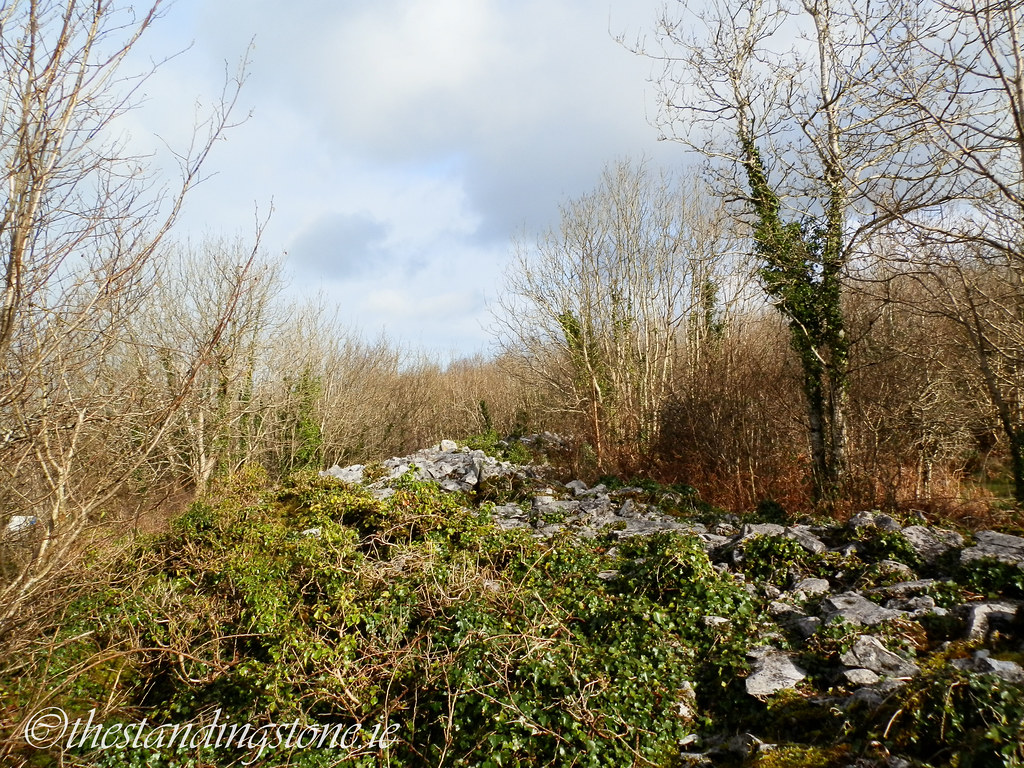
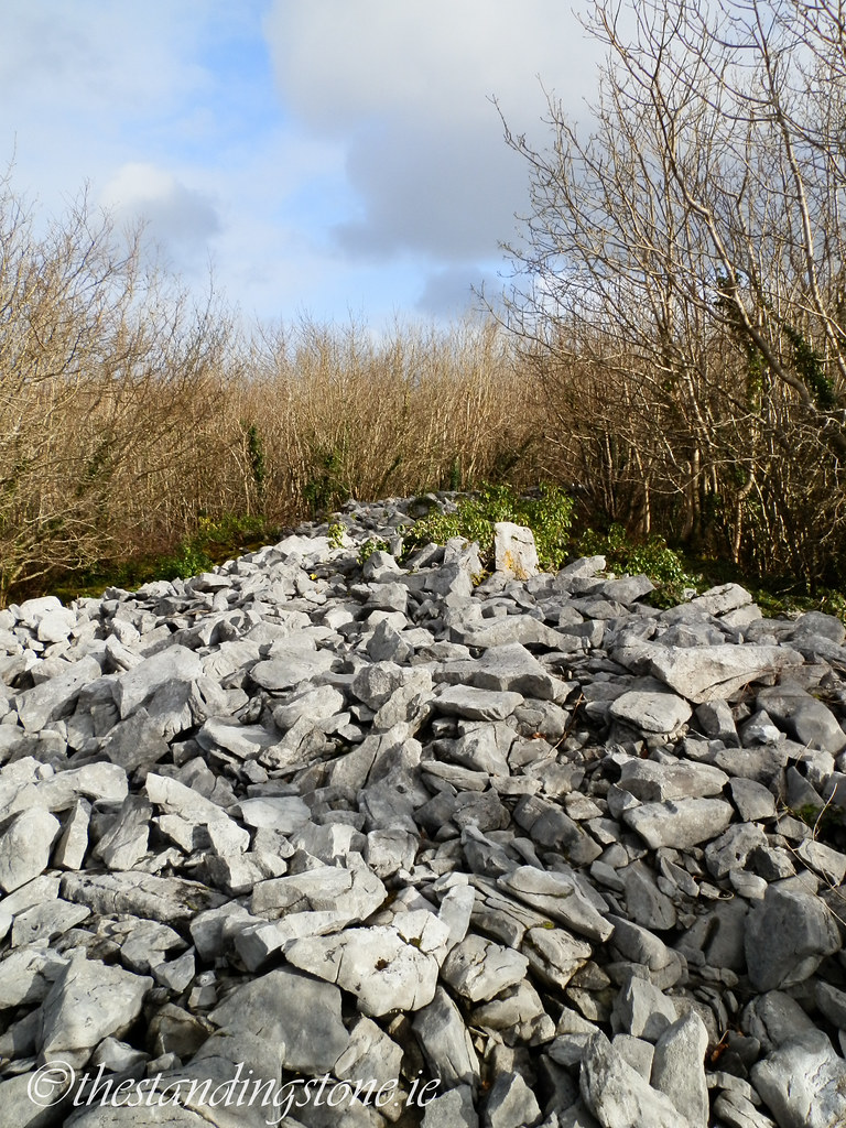
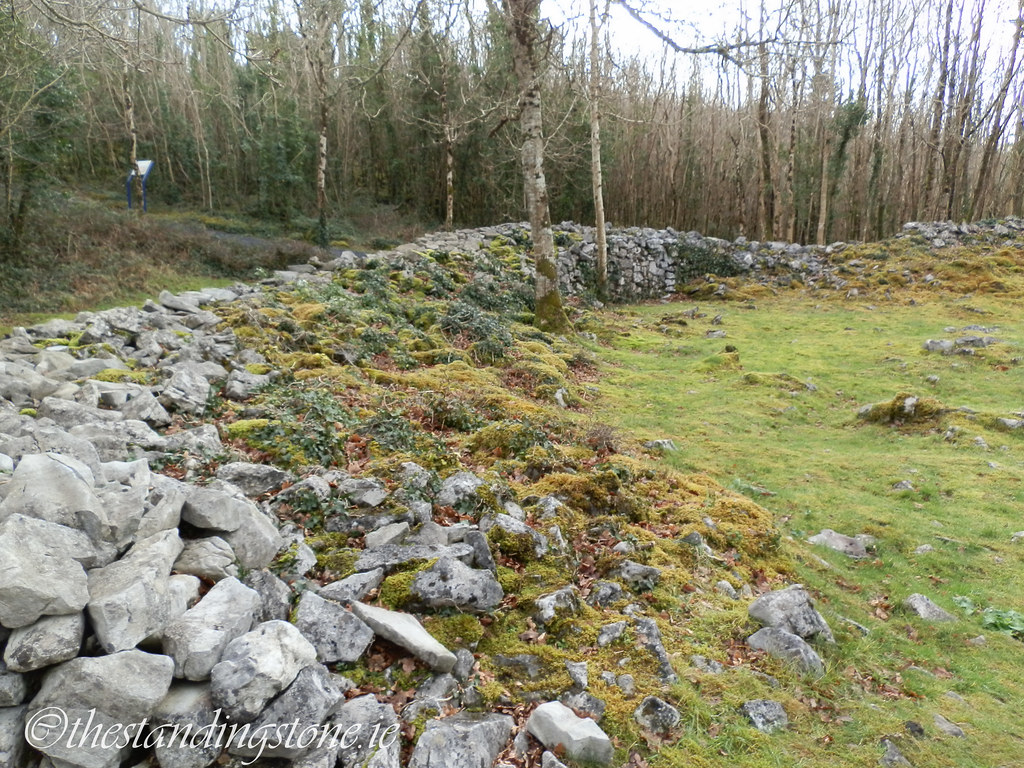
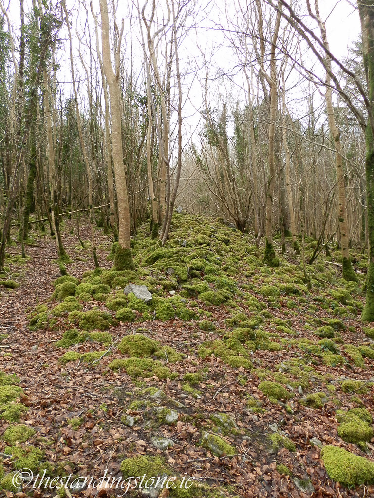
The outer rampart is in a very poor state as most of the stone was robbed to build the cashels.

The outer rampart winding its way through the trees.
A path has been cut part-way along the outer rampart.
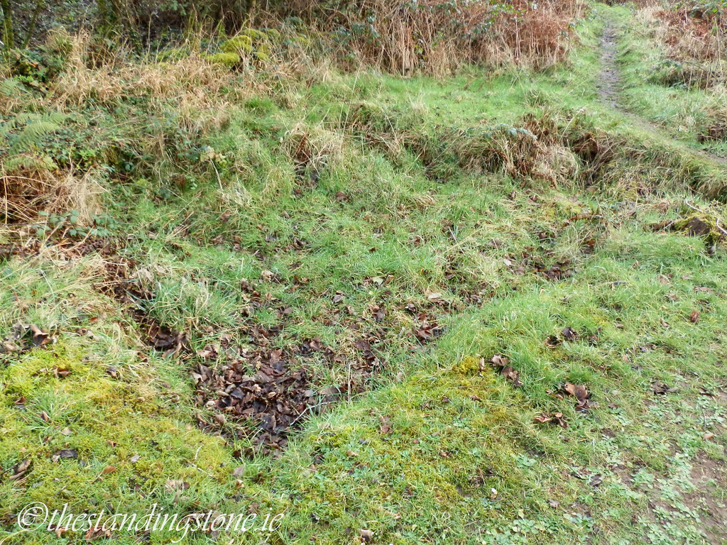
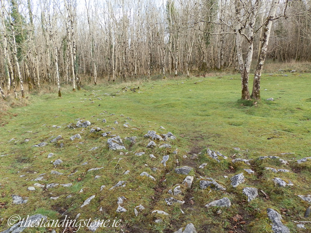
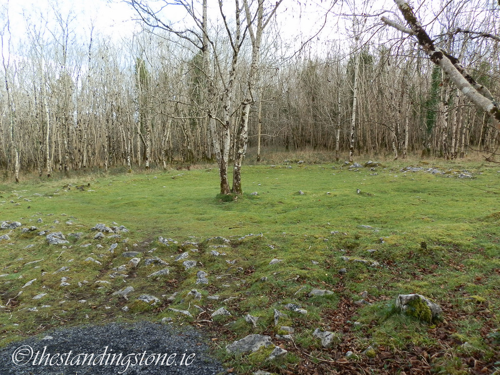
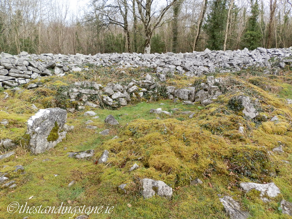
One of the many house sites.

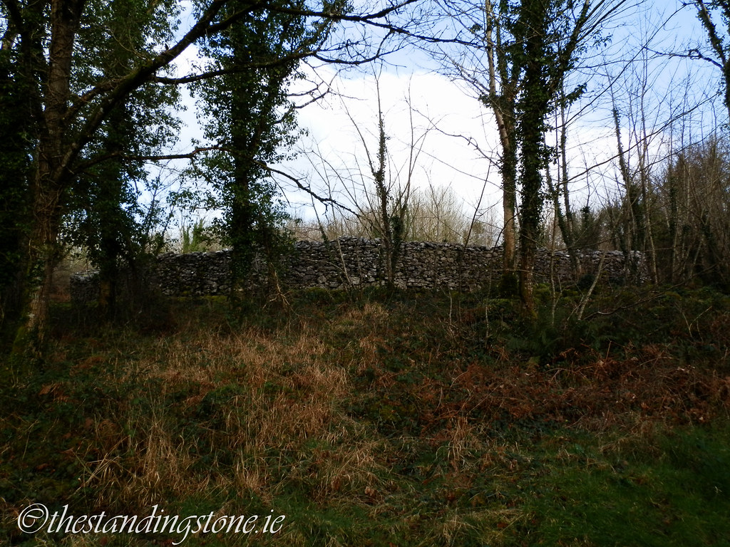
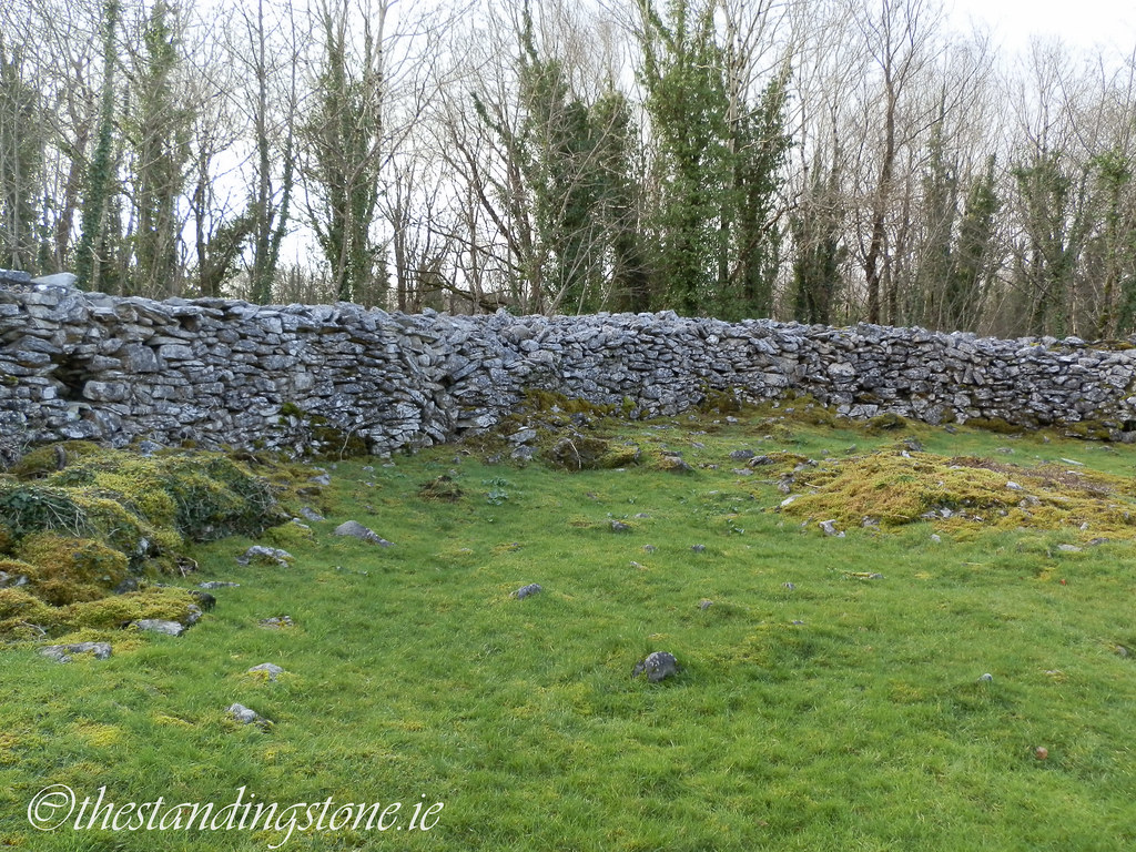
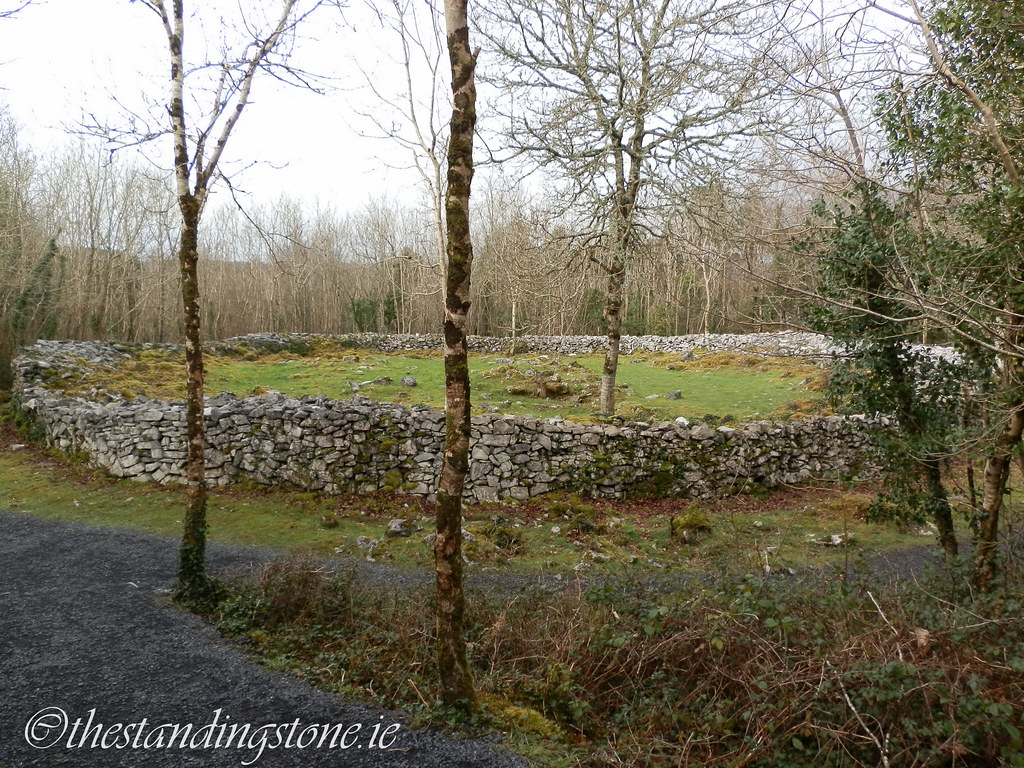
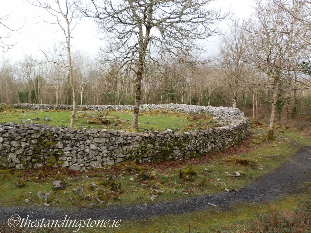
The first glimpse you get of one of the cashels as you ascend the fort.

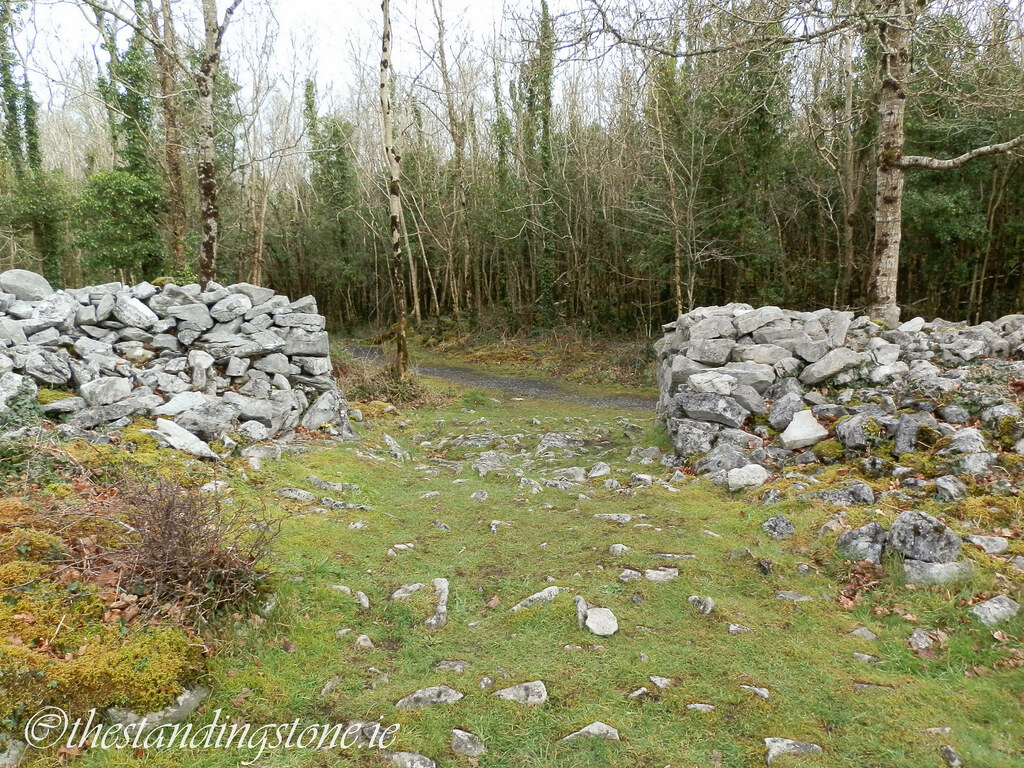
The entrance to the cashel.

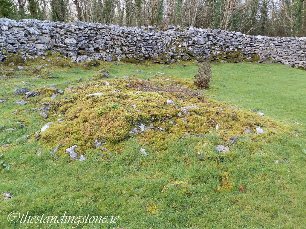
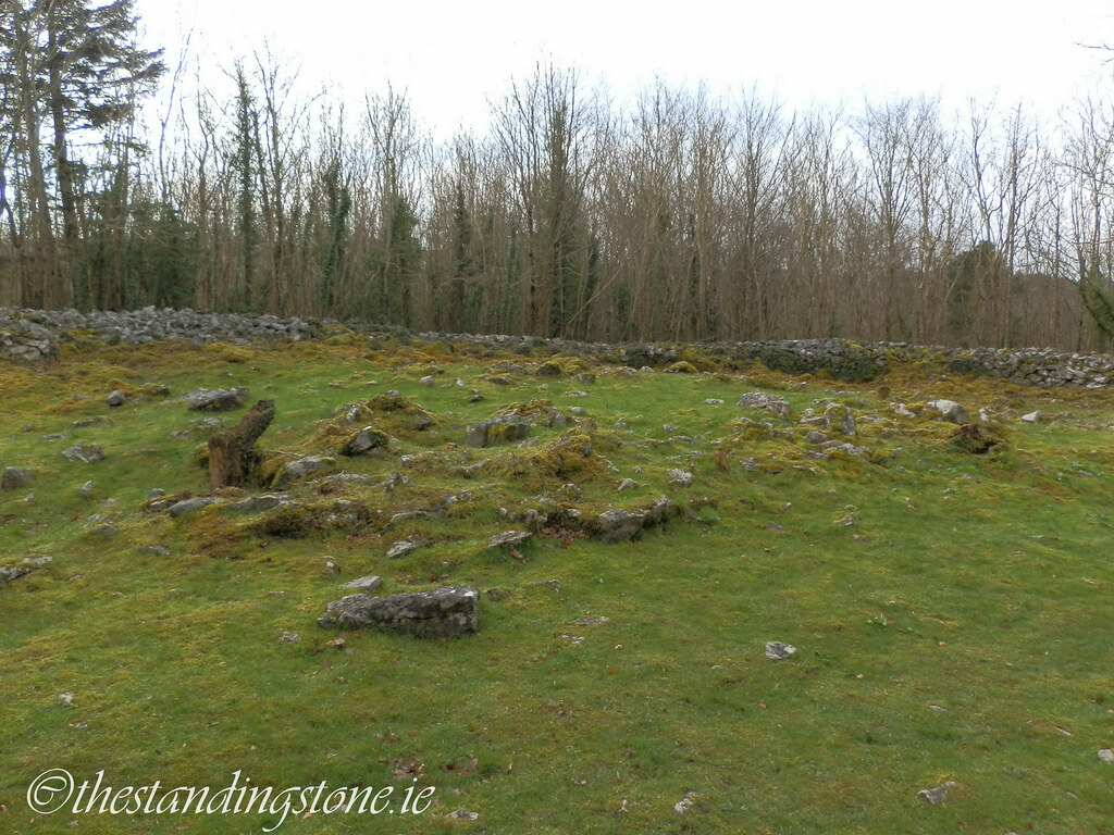
There are many little mounds and depressions within the cashel which are likely to the remains of former structures.


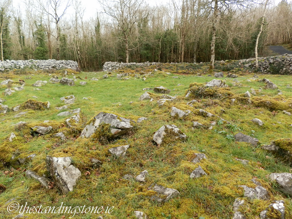
Panoramic view of the cashel. Click the picture to enlarge.


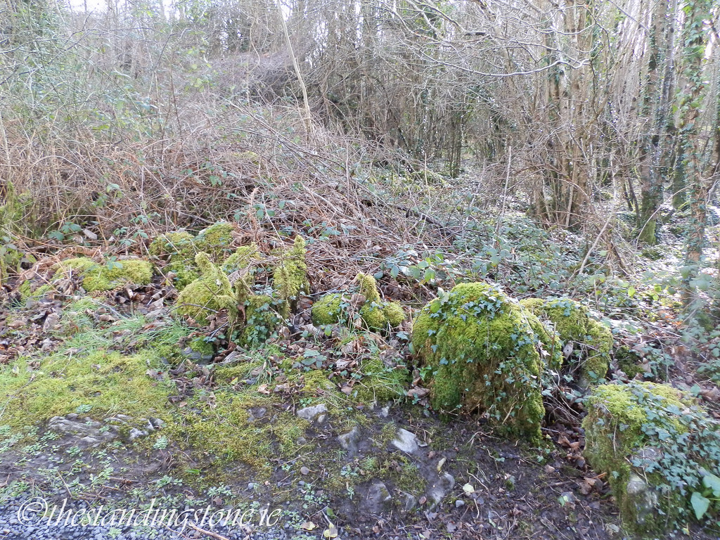
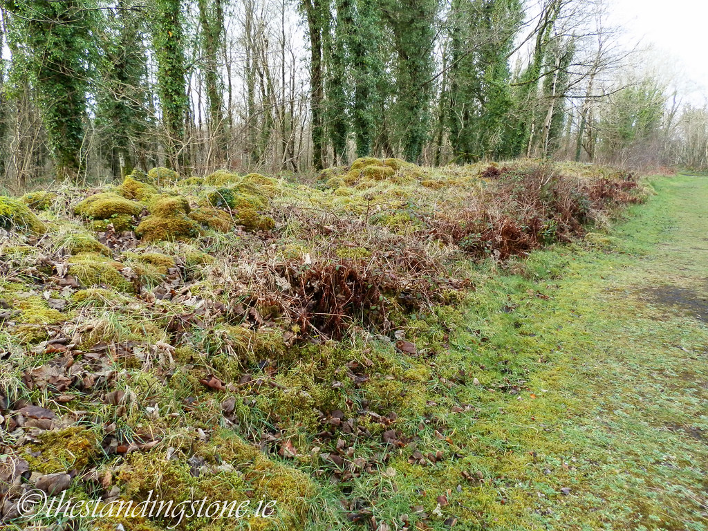
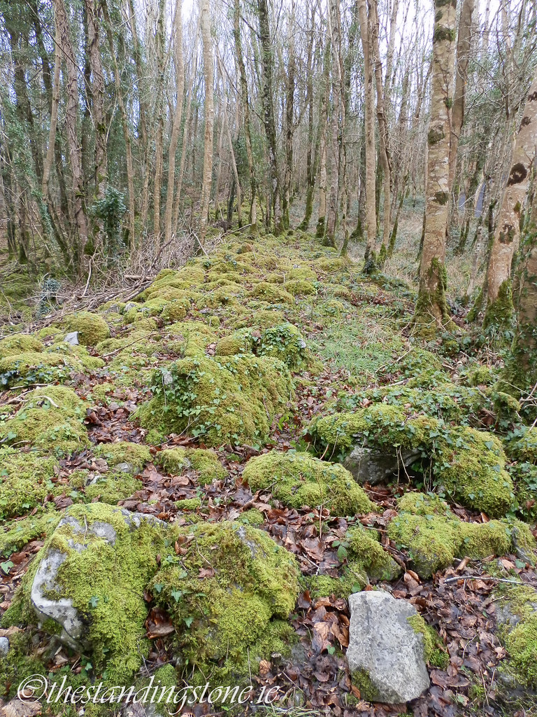
Sections of the ramparts are little more than moss-covered stones.

Sometimes the ramparts are barely visible at all.
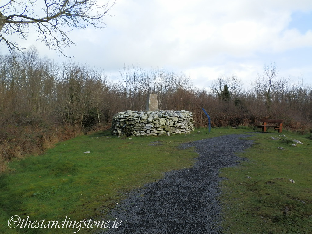
Trig station on the summit.
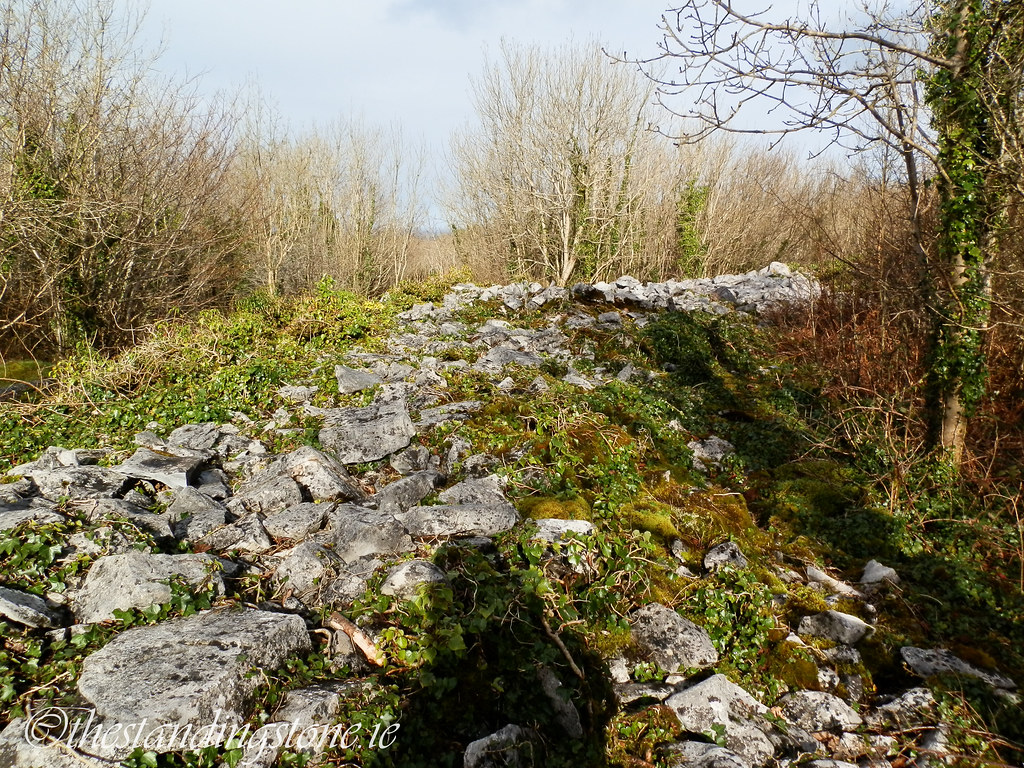
There are better preserved sections of the ramparts as you descend the other side of the fort.


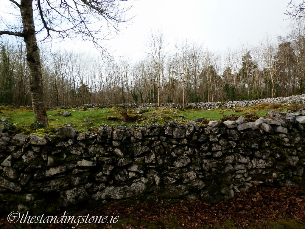
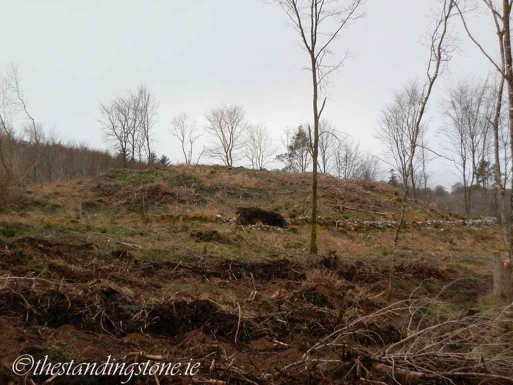
The second cashel is largely destroyed.


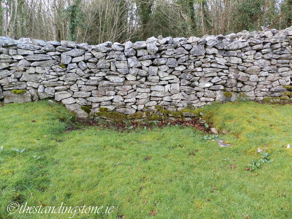
The third cashel is, fortunately, better preserved.


Another house site.


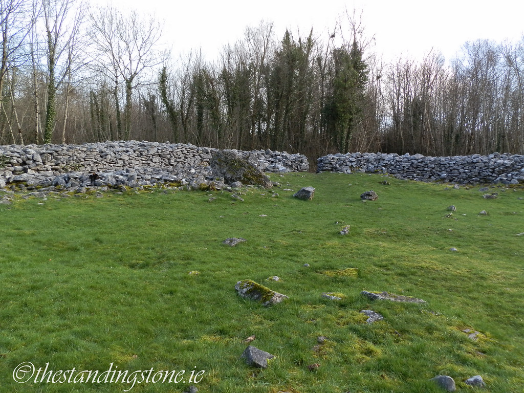
I am not sure what this is in relation to the rest of the site. It certainly looks artificial and is surrounded by a stone wall.