
Location – On the R415 S of Kildare at the rear of a graveyard. If you go over the bridge of the M7 you have gone too far.
OS: N 727 119 (map 55)
Longitude: 6° 54' 47.79" W
Latitude: 53° 9' 11.36" N
GPS: N 72693 11954 (Accuracy: 7m)
See map at the bottom of the page.
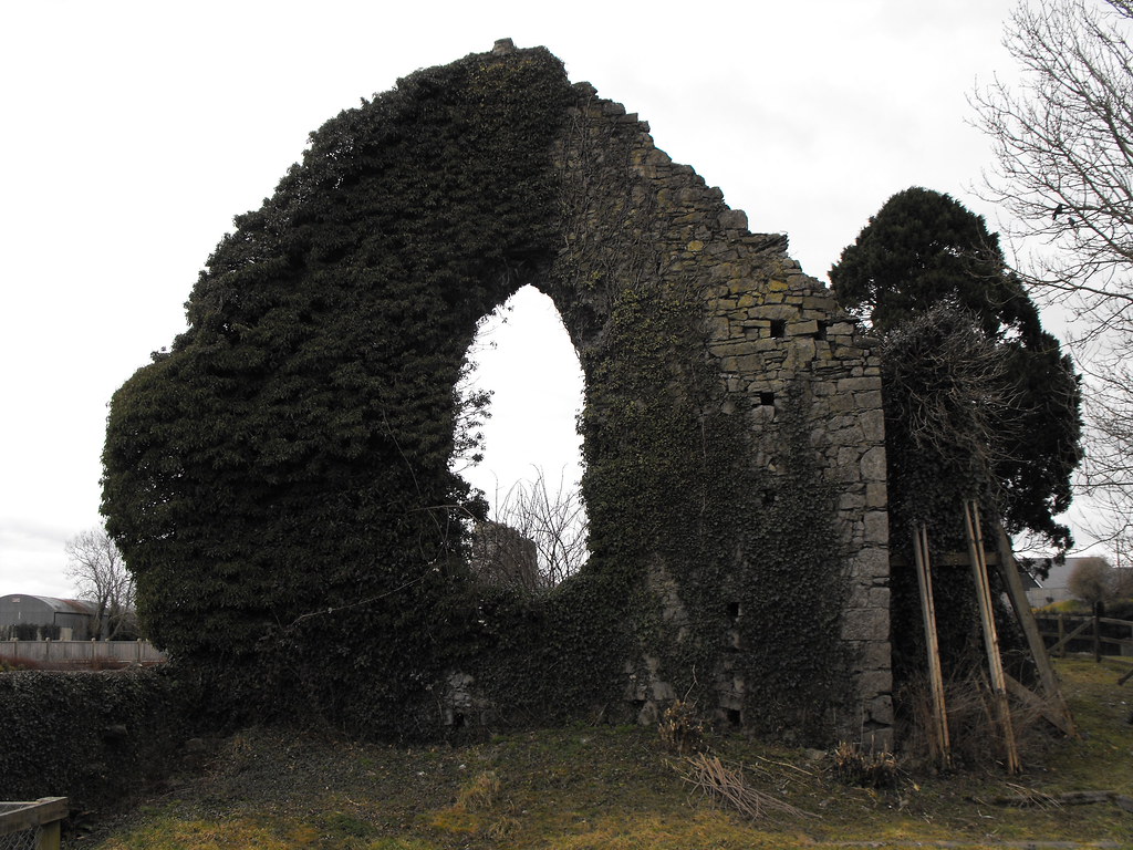
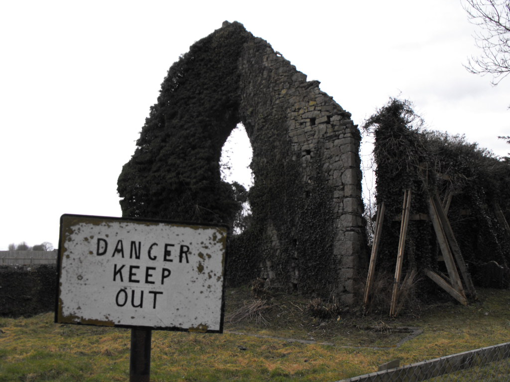
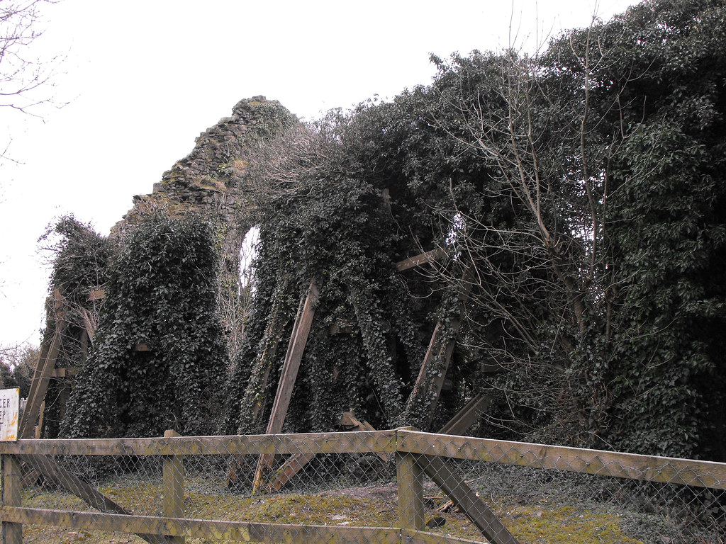
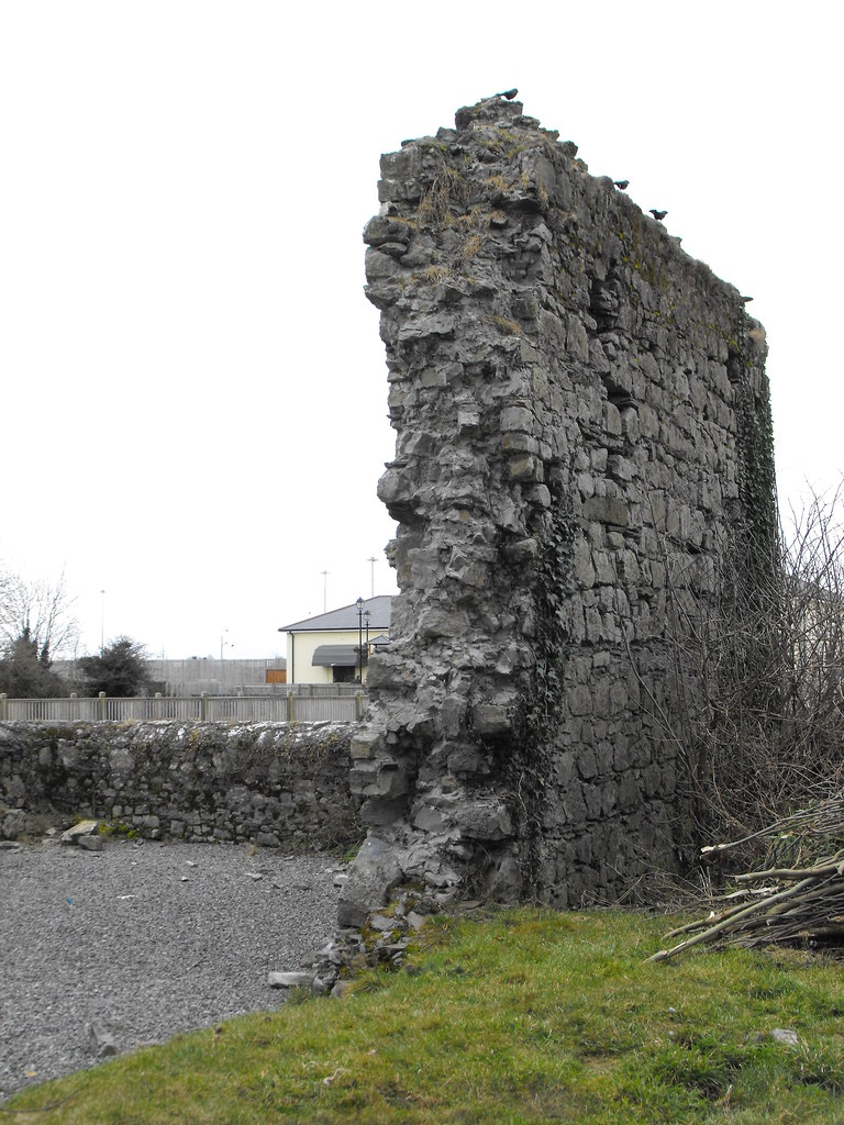
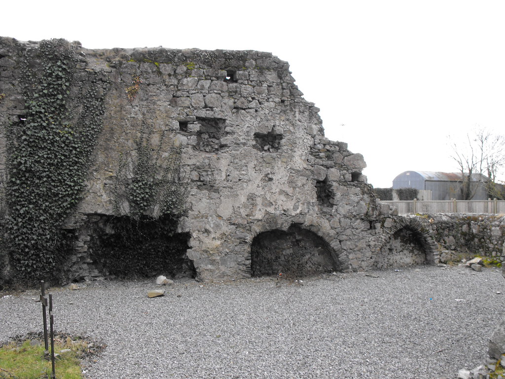
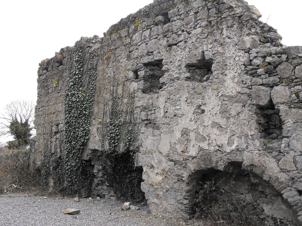
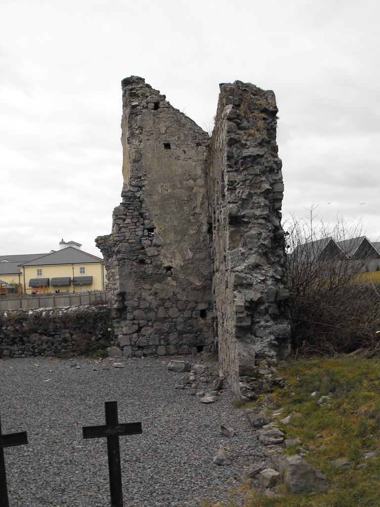
Description and History – I couldn’t find anything out about this friary so if you know anything about it at all please email me or leave a comment below. What remains here is a much ruined late-medieval friary roughly 25m in length and 6m wide. The E gable still stands to full height of about 5m. The S wall is largely collapsed as if the W gable and large sections of the N wall. Buttresses still survive on the N wall although these are very overgrown and close to collapse. Many parts of the walls are being held up by wooden planks...the merest token of real conservation work. With a little care and attention this would be a nice ruin to visit.
Difficulty – Easy to get to although parking can be an issue here.
For more ecclesiastical sites, click here.
For more sites in Co. Kildare, click here.
OS: N 727 119 (map 55)
Longitude: 6° 54' 47.79" W
Latitude: 53° 9' 11.36" N
GPS: N 72693 11954 (Accuracy: 7m)
See map at the bottom of the page.
Description and History – I couldn’t find anything out about this friary so if you know anything about it at all please email me or leave a comment below. What remains here is a much ruined late-medieval friary roughly 25m in length and 6m wide. The E gable still stands to full height of about 5m. The S wall is largely collapsed as if the W gable and large sections of the N wall. Buttresses still survive on the N wall although these are very overgrown and close to collapse. Many parts of the walls are being held up by wooden planks...the merest token of real conservation work. With a little care and attention this would be a nice ruin to visit.
Difficulty – Easy to get to although parking can be an issue here.
For more ecclesiastical sites, click here.
For more sites in Co. Kildare, click here.


View The Standing Stone in a larger map