
Location – Next to cairn F, both of which are located midway between cairn D and L.
OS: N 570 773 (map 42)
GPS: N 57039 77358 (Accuracy – 4m)
Longitude: 7° 8' 8.28" W
Latitude: 53° 44' 34.13" N
See map at the bottom of the page.
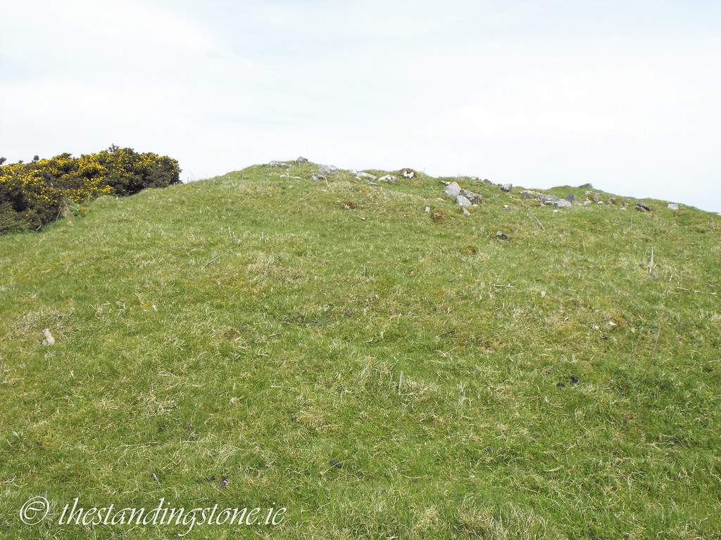
Description and History – Little remains of this tomb apart from a mound of stones which has been robbed out. There are no remains of a chamber inside. It is wedged up to cairn F and the kerb flattens to make sure they do not connect. This is intriguing to me and I wonder what the thought was behind placing them so close that they had to flatten the kerb to avoid contact. Is there a reason for this, or is it merely poor design? Cairn G is slightly larger than cairn F with a diameter of 20m and a circumference of nearly 60m.
Difficulty – Hard to miss if you are at cairn F.


View The Standing Stone in a larger map