
OS: S 329 858 (map 60)
Longitude: 7° 30' 38.84" W
Latitude: 52° 55' 19.46" N
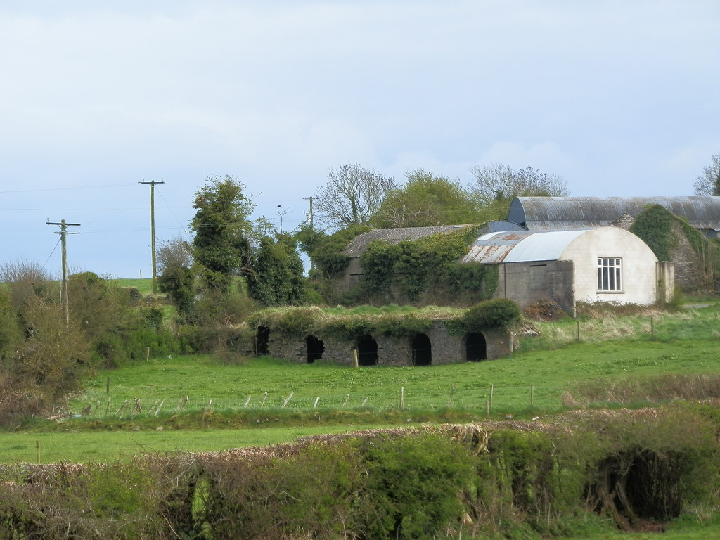
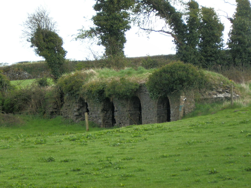
Description and History – I haven’t been as close to this bridge as I would like but it looks like a poorly preserved medieval bridge on a disused roadway, probably part of a larger town landscape, now only visible as earthworks. Beyond that I know little about it as it appears to be unlisted.
After talking to someone who has been closer to the bridge, it may not actually be what I suspected and pay be part of an older building. Until I've had a closer look myself I will leave it listed on the site so that people can see the pictures.
Difficulty – It appears to be on next to a private house and I have, as of yet, not attempted to gain direct access.
For more bridges, click here.
For more sites in Co. Laois, click here.
View The Standing Stone in a larger map