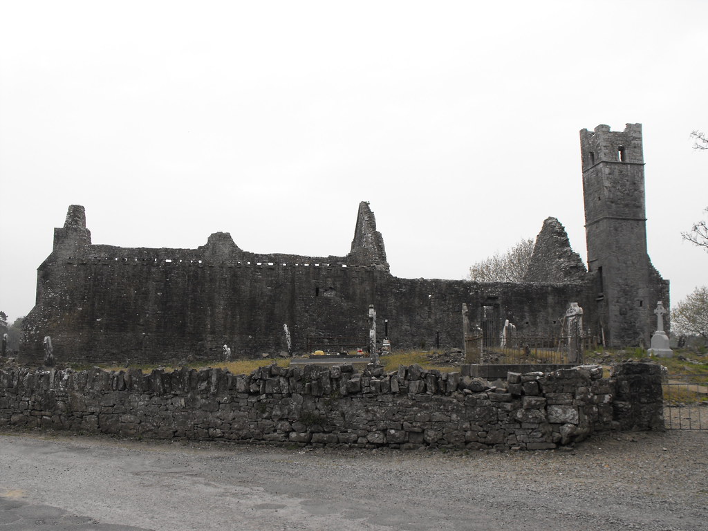
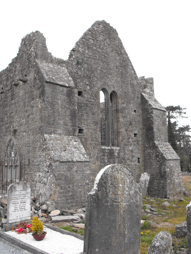
Location – In Mungret village. This is the main ruin at the site and it surrounded by a still used graveyard.
OS: R 543 538 (map 65)
Longitude: 8° 40' 30.23" W
Latitude: 52° 38' 0.86" N
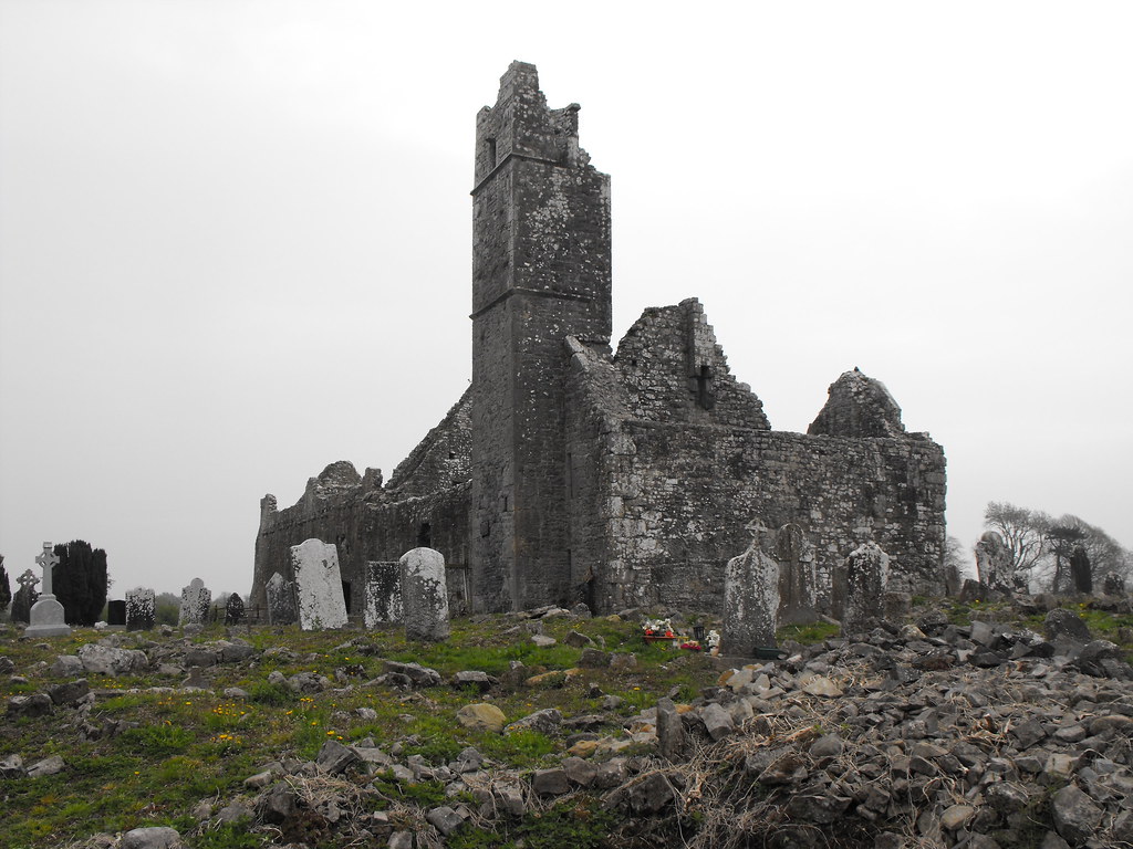
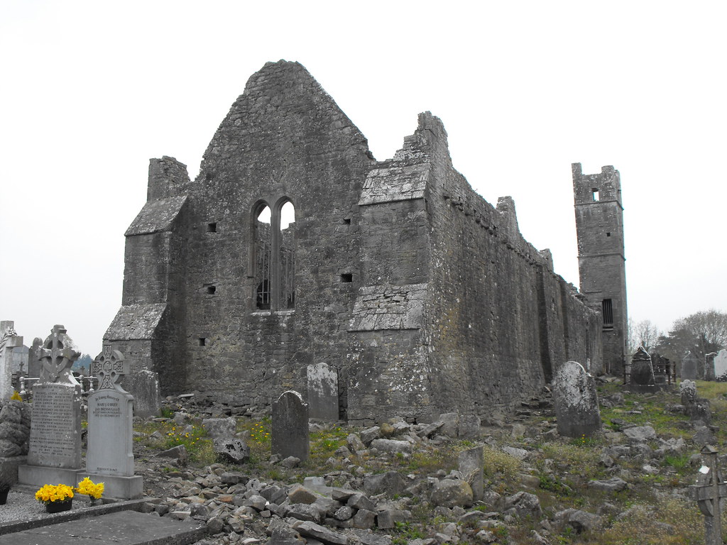
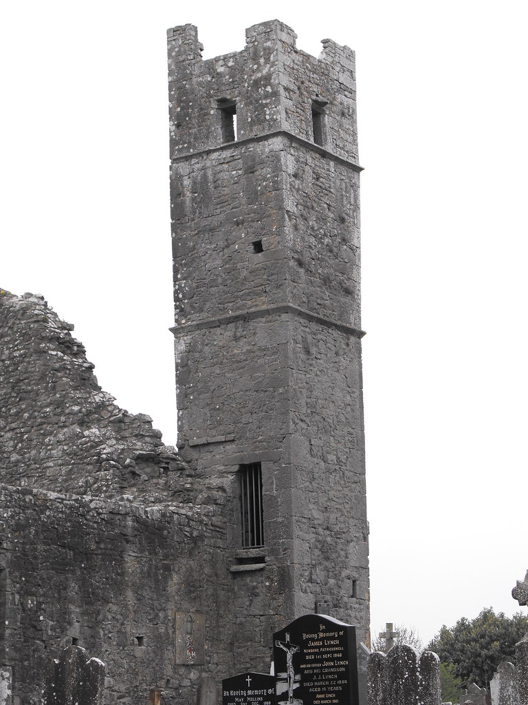
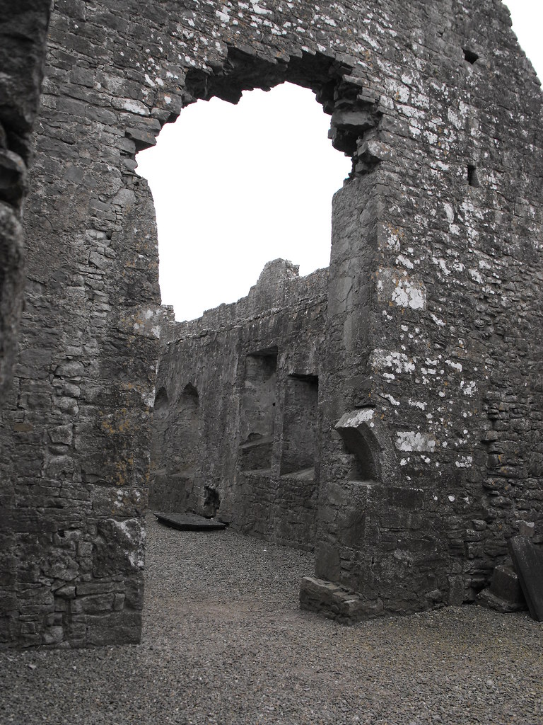
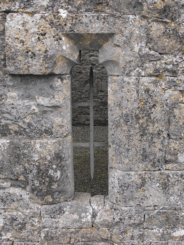
Description and History – This is the largest of the ruins at the site and was built sometime between 1251 and 1272. The remains consist of a nave and chancel and a large tower. The Western end with the large tower (a former priest’s quarters) dates to the 15th century and represents a phase of rebuilding. It was later used as a Protestant church until 1822. This is a very attractive ruin but remains locked and can only be viewed from the outside.
Difficulty – Easy to find but the graveyard is uneven underfoot.
Back to the Mungret menu.
OS: R 543 538 (map 65)
Longitude: 8° 40' 30.23" W
Latitude: 52° 38' 0.86" N
Description and History – This is the largest of the ruins at the site and was built sometime between 1251 and 1272. The remains consist of a nave and chancel and a large tower. The Western end with the large tower (a former priest’s quarters) dates to the 15th century and represents a phase of rebuilding. It was later used as a Protestant church until 1822. This is a very attractive ruin but remains locked and can only be viewed from the outside.
Difficulty – Easy to find but the graveyard is uneven underfoot.
Back to the Mungret menu.