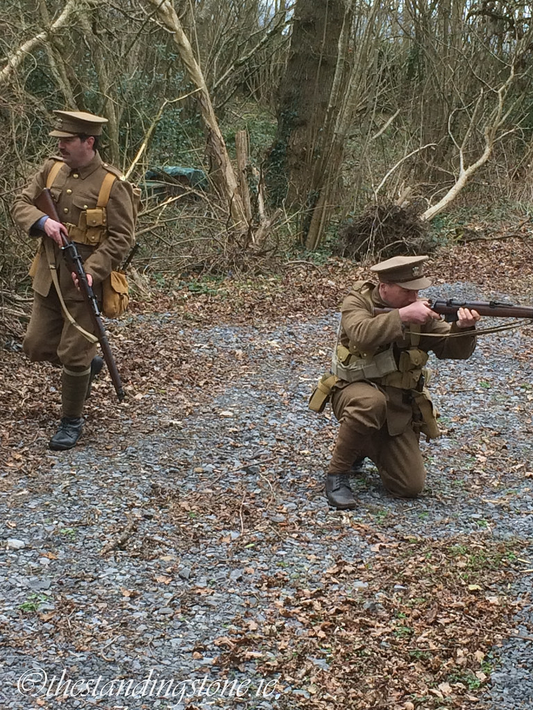
Dúnán Padraig is a small grassy islet measuring 25m x 9m located on Dorrin’s Strand, Co. Sligo, between Coney Island and Scardan More (Fig 1), at the western end of a slightly elevated portion of the sand flats. The islet of Dúnán Padraig can be reached easily at low tide via the Coney Island causeway, which is marked by a series of stone pillars erected c.1845 (NIAH Reg. No. 32401413). The islet has, as the name suggests, associations with St. Patrick, was previously listed in the RMP as a possible crannog, but is currently listed due a modest midden deposit visible in the northern cliff-edge sections that may continue almost all the way around the islet.
Fig.
1. Archaeological monuments around the Cúil Irra Peninsula and Sligo Bay. Dúnán
Padraig, the midden island, is highlighted by a red box, SE of Coney Island.
Middens are
abundant around Sligo. The work of Dr Nollaig Ó Muraíle, which discusses
placename evidence in detail, suggested that the very name of Sligo -
attributed to the County, Town and Castle, are all derived from earlier
versions of the modern Sligeach -
means the ‘Shelly Place’ (Ó Muraíle 2013). Not only are the presence of the
shell middens known from placenames, but the material remains of 93 middens or
midden complexes are located in Co. Sligo and listed in the RMP, more than any
other county in Ireland or Northern Ireland and recent work by Dr. Tatjana
Kytmannow has mapped a number of additional middens across Sligo Bay that have
yet to be reflected in the RMP.
Fig 2.
Dúnán Padraig (1), in the middle of Dorrin’s Strand can be accessed via the
Coney Island Causeway (2). The ecclesiastical site of Killaspugbrone (3) is
located to the east of Dúnán Padraig, just north of Sligo Airport. St.
Patrick’s Wishing Chair (4) is located on the NW coast of Coney Island.
Patrician Associations & Folklore
There are a small
number of Patrician associations across Sligo Bay. On nearby Coney Island, just
to the north of Dúnán Padraig, St. Patrick’s Well and St. Patrick’s Wishing
Chair can be seen. To the east, on the mainland at Killaspugbrone, is a site
directly associated with Bishop Bronus, a disciple of Patrick (Fig. 2). A
silver shrine of ‘St. Patrick's Tooth’, Fiachal
Phadrig, (located in the National Museum of Ireland in Dublin), originally
came from the ecclesiastical site (SL013-002002-) at Killaspugbrone, when, so
the story goes, Patrick lost a tooth after he tripped over and fell to the
ground.
The little islet
of Dúnán Padraig (Fig. 3) also features in the hagiography of Patrick, as part
of his reputed visit to Killaspugbrone. In one story, as Patrick crossed from
Killaspugbrone to Coney Island, he was surrounded by the incoming tide and
sought refuge on the islet. No doubt due
to St. Patrick’s ability to work the odd miracle, it is believed by some that
Dúnán Padraig, no matter how high the tide rises, will never be covered. In an
alternative story, Patrick was attempting to build a road from Coney Island to
the mainland. Patrick, when on Coney Island, was fed a rabbit stew which had
been secretly made of cat. When he lifted his cutlery to eat, the cat jumped up
and ran. Patrick ‘cursed’ the islanders by giving them the ability to cross the
sand flats in order to attend a regular Mass, and so began building them a road
for access. Dúnán Padraig was as far as road extended before Patrick attended
to some other urgent business and abandoned his road building scheme.

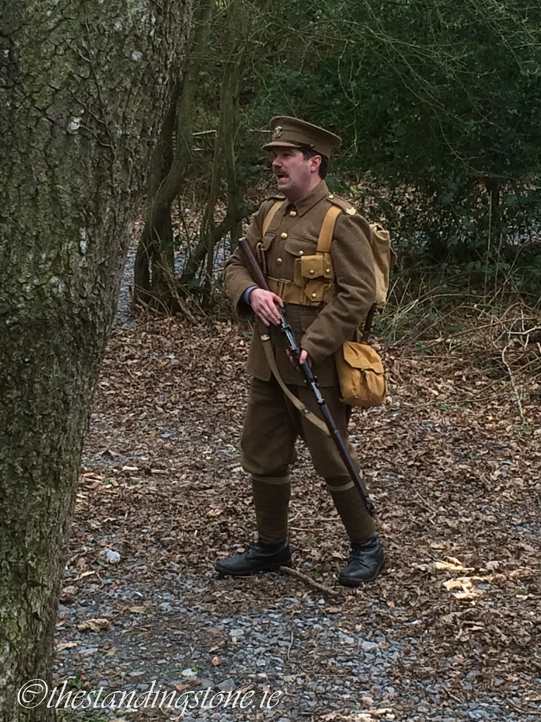
Fig.
3. Dúnán Padraig, viewed from the South East. Inset, aerial photograph (Digital
Globe).
Archaeology of Dúnán Padraig
Very little study
has been made about the islet itself. The Ordnance Survey Name Books of 1836
describe Doonanpatrick Island as
"A small round island which appears above highwater", whereas today
the islet is roughly triangular shaped, and very narrow, demonstrating a
significant loss of land. The OS Name Books for the same year also record
variations on the name as Dún an Patraic
('Patricks little fort') and Doonan
Porick. Griffith’s Valuation (1847-1864) records that Capt. Thos. Meredyth
was the only occupier and legal owner of Doonanpatrick
island.
An examination of
the historic mapping and the latest remotely sensed photography demonstrates
how the islet has changed over the last 200 hundred years (Fig. 4). On the
Cassini 6-inch map, Doonanpatrick is
a NNE-SSW oriented small oval islet (30m x 20m and about 0.06 hectares in
area), encircled by 15 boulders. On the Historic 6-inch map (1829-41), the
shape of Doonnpatrick is rounded,
measuring 50m x 30m and contains a Trigonometrical Point just west of its
centre. It’s also recorded as being 1 rood and 10 perches in size, however
using the Historic Environment Viewer measuring tool it is calculated as 0.14
hectares). The 6-inch map also gives details on the tidal inlets, which run
along the western and southern edge of Doonanpatrick,
hinting at the effects - and location - of erosion on the islet which has
mostly impacted the western and southern edges. Also present is an east-west
aligned oval patch of elevated land to the west of the islet, which today
contains only large limestone boulders, but has been captured on recent aerial
photographs as an area of green seaweed or possibly grass. On the Historic
25-inch map (1897-1913), Doonnpatrick is
angular, measuring 40m x 20m, defined by the High Water Mark (HWM) and
encircled by many boulders which also lie within 10m of the HWM. Inaccuracies
and changing standards in mapping may account for the varied measurements made
by the early OS surveyors, as may the inevitable changes to the morphology of
the islet, caused by erosion. The satellite imagery from Bing Maps (supplied by
Digital Globe) is very clear and illustrates the most obvious changes to the
islet are its orientation (presently N-S) and denuded size.

Fig. 4. Regression Analysis of Dúnán Padraig
indicates the changing shape and orientation of the islet on Dorrin’s Strand.
The location of SL014-004----, a midden, is shown in red. Mapping derived from
the NMS (2016) Historic Environment Viewer, which contains inaccuracies for the
location of the early maps, as illustrated by the shifting location of the
islet compared to the midden.
On the northern
side of Dúnán Padraig is a recorded midden (RMP No. SL014-004----, Fig. 5)
although recent field survey has found additional midden components that have
been exposed due to erosion and bioturbation. As an easily accessible food
source, shell middens can date from
any period, from the Mesolithic (Woodman et
al. 1997) through to the post-medieval. In Co. Sligo, investigations at
Culleenamore Strand, found that a large midden may have been used for over
2,000 years between the Middle Neolithic, Bronze Age and possibly the Iron Age
(Burenhult 1984), while radiocarbon dates from middens in Ballysadare Bay
(Milner & Woodman 2007) have obtained a variety of dates from the
Neolithic, Bronze Age and the Early Medieval period at Tanrego (3660-3440 BC),
Cullenduff (1940-1630 BC) and Culleenamore (1010-1250 AD).
Fig. 5.
The remains of the only recorded midden (RMP No. SL014-004----) on the northern
side of Dúnán Padraig.
Dúnán Padraig
stands 2m proud of the Dorrin’s Strand sand flats and the midden
(SL014-004----) on the northern side of the islet, is exposed as a thin 10-20cm
deposit of oyster shells and infrequent periwinkles, about 1.1m above the sand
and 0.5m above limestone boulders. The midden is sealed beneath a sandy-clay
soil topped by wild grass. During the storm season and regular high-tides, the
islet and the midden are in danger of erosion. Shell Middens in the intertidal
zone are vulnerable to strong storm tides and rising sea-levels. The
MASC Project (Monitoring the Archaeology of Sligo’s Coastline) has
recently collected baseline data for vulnerable archaeological monuments in and
around the intertidal zone of Sligo. 31 of the Sligo middens (⅓ of the County
total) - including of course Dúnán Padraig - are located less than 20m from the
coastline.
The recorded
midden deposit is not in isolation however, on the opposite (southern and
western) side of the islet, further, previously unrecorded deposits of
occasional periwinkles, cockles and oyster (as well as very small amounts of
charcoal) can be traced in an exposed cliff-face of clayey-sand (Fig. 6). In
addition to the tidal erosion, animal activity, as evidenced by burrows and
discard, has also dispersed part of the midden material on to the lower parts
of the islet. These additional midden deposits may join with the denser
material on the northern side of the islet, or may represent smaller discrete
events.
Fig.
6. Additional sparse midden deposits of periwinkle, oyster and cockle on the
south and western side of the islet.
Dorrin’s Strand
and the wider Cummeen Strand sand flats are a rich environmental and ecological
resource that have yet to be fully explored by archaeological methods. A spread
of 32 distinctly illustrated boulders on the Cassini 6-inch map are located
690m SSW of Dúnán Padraig and 260m NW of the coast at Rinn (Fig. 7). The same
location is marked with 94 boulders on the Historic 25-inch and the Historic
6-inch records 18 boulders on the West and NE side of a NNE-SSW oriented small
oval islet (60m x 30m), which is visible as a small spread of grass,
approximately 10m in length in a 2005 Aerial Photo. It’s also visible in Aerial
Photo’s from 2000 and 1995. This islet, like Dúnán Padraig changes in size,
shape and surface features due to the dynamic action of the tides. This little
islet may at one stage have been raised higher than the surrounding sand flats
and was investigated by myself and Ciarán Davis in 2015 to determine the
presence/absence of any surface features. Could this ovoid spread of boulders
represent the remains of another Dúnán Padraig-sized islet? Again, the satellite imagery
from Bing Maps of this boulder spread is very clear, appearing as an
elongated area of limestone boulders, with no suggestions of grass being present.
However the grass, seaweed or bloom, visible in the 2005 aerial photography,
which may have indicated at least a temporary stable surface, was not present,
nor when any signs of archaeological material visible on the surface. The
presence of a pair of substantial upright boulders might also be indicators of
past activity here that requires further investigation. As with the original
listing of Dúnán Padraig, this spread of boulders might represent the remains
of a crannog or refuge as the tide approached and could certainly be used as a
marker or stopping point for populations crossing the sand flats, however,
unlike Dúnán Padraig, the boulder spread is covered by the sea at high tide.

Fig.
7. Regression Analysis of a boulder spread on Dorrin’s Strand. The Historic
6-inch map suggests the presence of a distinct raised area above the high water
mark. Mapping derived from the NMS (2016) Historic Environment Viewer.
The investigation
of the boulder spreads and the recording of additional deposits at the midden
island of Dúnán Padraig, are part of the MASC Projects coastal monitoring
scheme. MASC Project citizen scientist volunteers are regularly visiting and
revisiting vulnerable monument along the Sligo coastline to map the impact of
erosion and to identify previously unrecorded archaeological sites. Over the
past year, we have identified 148 archaeological sites in an ‘at risk’ zone
along the Sligo coastline and our citizen scientists have added 3 new middens
to the Archaeological Survey of Ireland (SL008-203---, SL008-204----,
SL014-294----) as well as a Cist from Co. Mayo (MA086-021----) which was
reported by a citizen scientist directly to the MASC Project. In addition we’ve
also mapped a number of palaeoenvironmental features including submerged forests
and exposed peat shelves in Counties Mayo and Sligo. For further details on the
MASC Project, please visit our website.
Bibliography
Burenhult, G. 1984. The Archaeology of Carrowmore: Environmental Archaeology and the
Megalithic Tradition at Carrowmore, County Sligo, Ireland. Stockholm:
Institute of Archaeology, University of Stockholm, Theses and Papers in North
European Archaeology 14.
Milner, N. & Woodman, P. 2007.
'Deconstructing the myths of Irish shell middens'. in N Milner, OE Craig &
GN Bailey (eds), Shell middens in
Atlantic Europe. Oxbow, Oxford, 102-10.
Ó Muraíle, N. 2013. ‘“Sligeach – The Original
and Correct Name of Sligo”’ In Timoney, MA (ed.) Dedicated to Sligo, Thirty-four Essays on Sligo’s Past, Keash,
Publishing Sligo’s Past. 97-102.
Woodman, P.C., McCarthy, M. & Monaghan,
N. 1997. ‘The Irish Quaternary Faunas Project’. Quaternary Science Reviews 16, 129-59
Dr James Bonsall is a lecturer in Applied Archaeology at IT Sligo and a director of Earthsound Archaeological Geophysics. James runs the MASC Project (Monitoring the Archaeology of Sligo’s Coastline) with Sam Moore and Sally Siggins. We are very grateful for his contribution.