
Location – Another satellite of the massive Cairn D.
OS: N 569 772 (map 42)
GPS: N 56939 77269 (Accuracy – 1m)
Longitude: 7° 8' 12.99" W
Latitude: 53° 44' 30.92" N
See map at the bottom of the page.
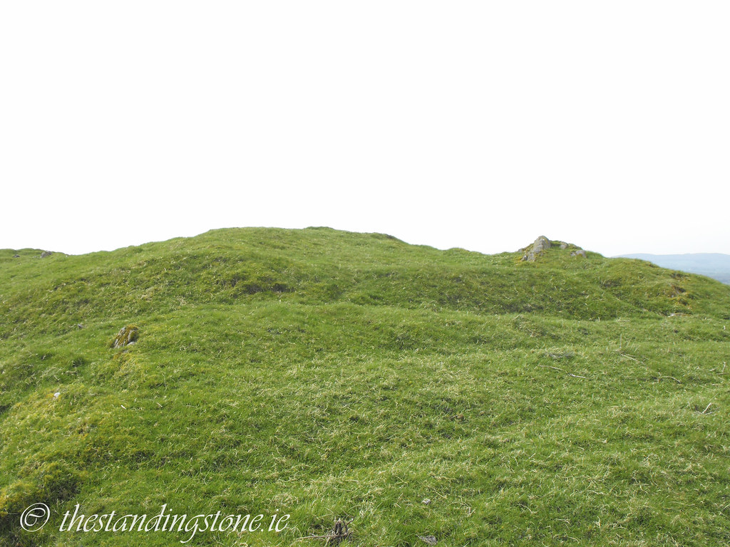
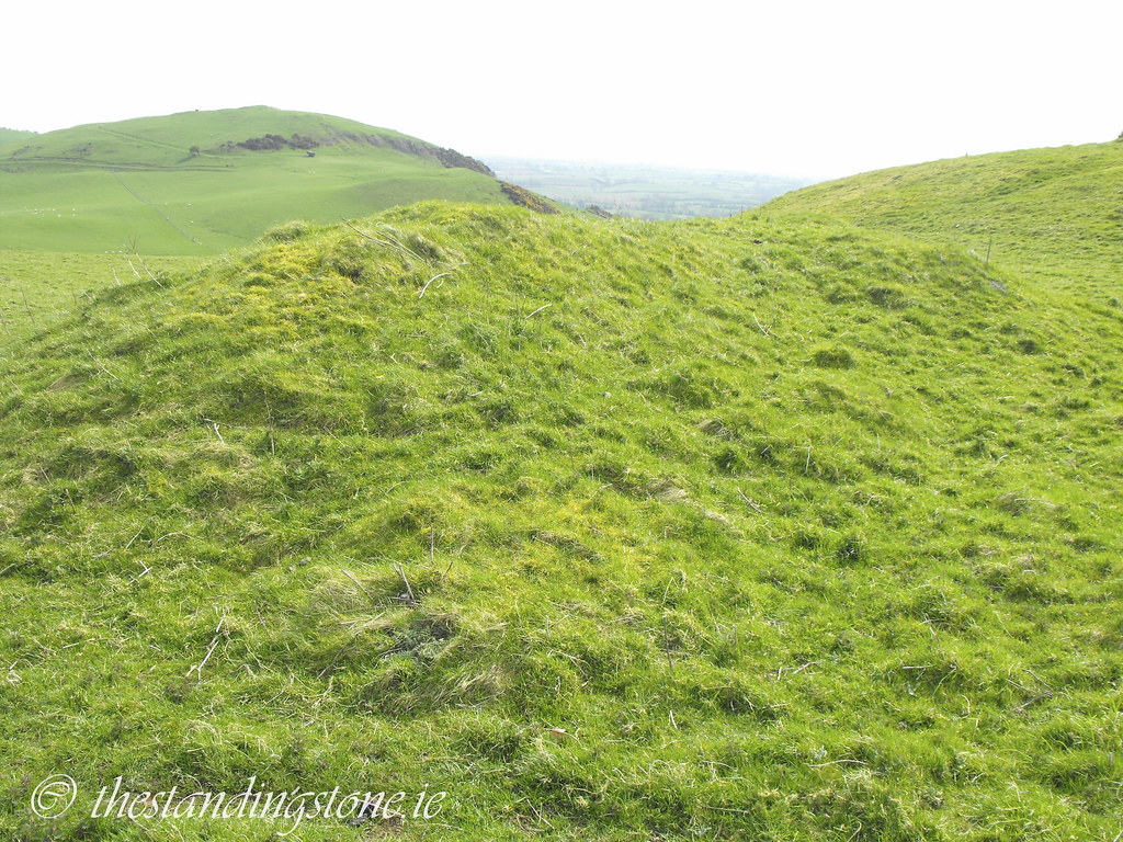
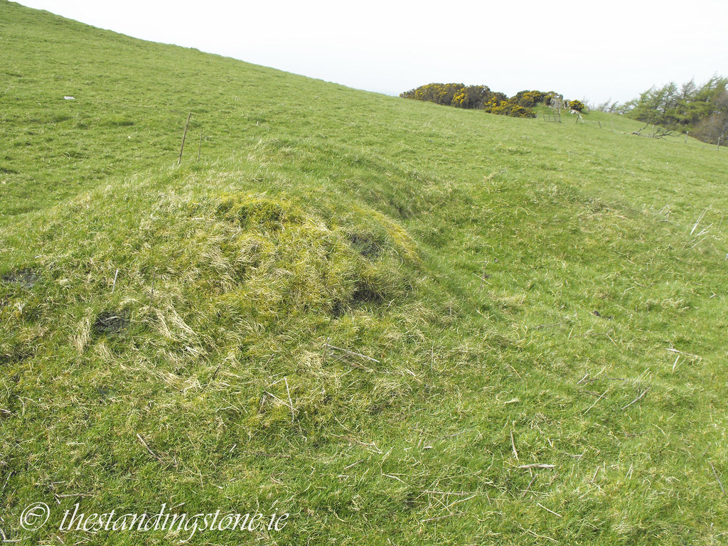
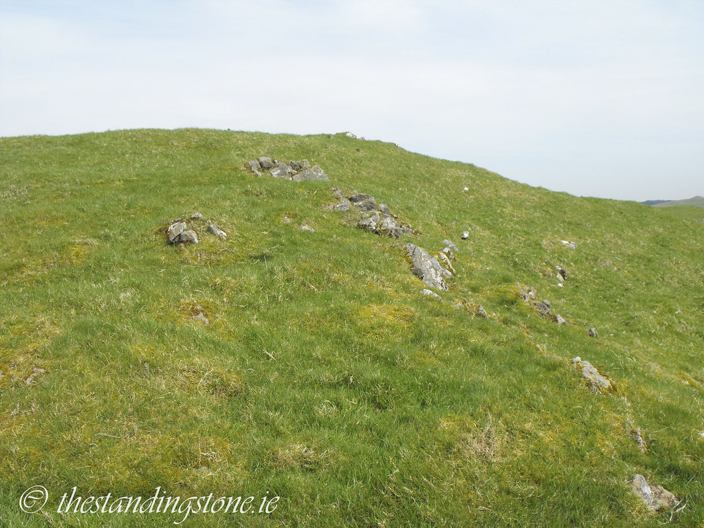
Description and History – This one was difficult to spot and I’m still not sure whether I actually did spot it. There are no pictures that I could find online of the tomb. Like A3 and B there is little left of the cairn and it seems to be little more than a mound in the grass. The tomb was likely robbed of its stone to build the massive stone walls that are nearby.
Difficulty – Like all tombs on Carnbane West there is some walking involved.

View The Standing Stone in a larger map