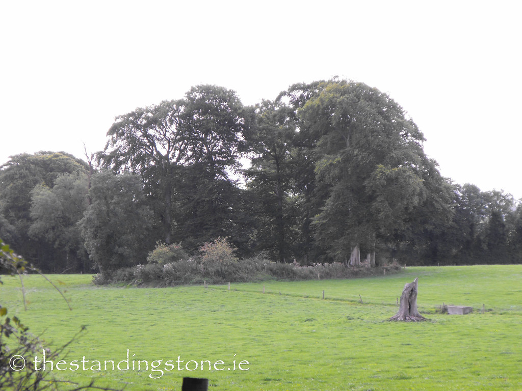
Location – Just off the R491 near Nenagh.
OS: R 905 798 (map 59).
OS: R 905 798 (map 59).
Longitude: 8° 8' 27.92" W
Latitude: 52° 52' 8.67" N
Latitude: 52° 52' 8.67" N
Description and History – Listed as a possible ringfort in the ‘Archaeological Inventory for County Tipperary’ this certainly does looks like this is a rath. There is evidence of a bank but no fosse and is roughly 28m in diameter. The proximity to other ringforts in the area also suggests that this is a rath. I will let you judge for yourselves about this one. I didn't set out to see this site but passed it on the way to another rath with a church built inside which is only about half a mile away.
Difficulty – Located in a field off the R491 this site is in a well drained cattle field.

