Ballinphunta, Wedge Tomb, Co. Clare.

Location – In Craughaun cemetery in Cratloe about 4km from Limerick city. It is a little tricky to find. The OS map shows it right on the railway line but it is actually about 10m away near the entrance to the cemetery. Getting to the cemetery is the hard part. You will need to take the turning about 100m South of the grid reference. The entrance doubles as a house entrance but go past the house, keeping it on your left, and you will come to the cemetery carpark.
OS: R 479 616 (map 58)
GPS: R 47907 61658 (Accuracy - 2m)
Longitude: 8° 46' 14.62" W
Latitude: 52° 42' 11.74" N
See map at the bottom of the page.

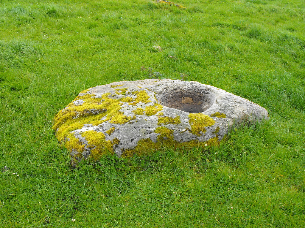
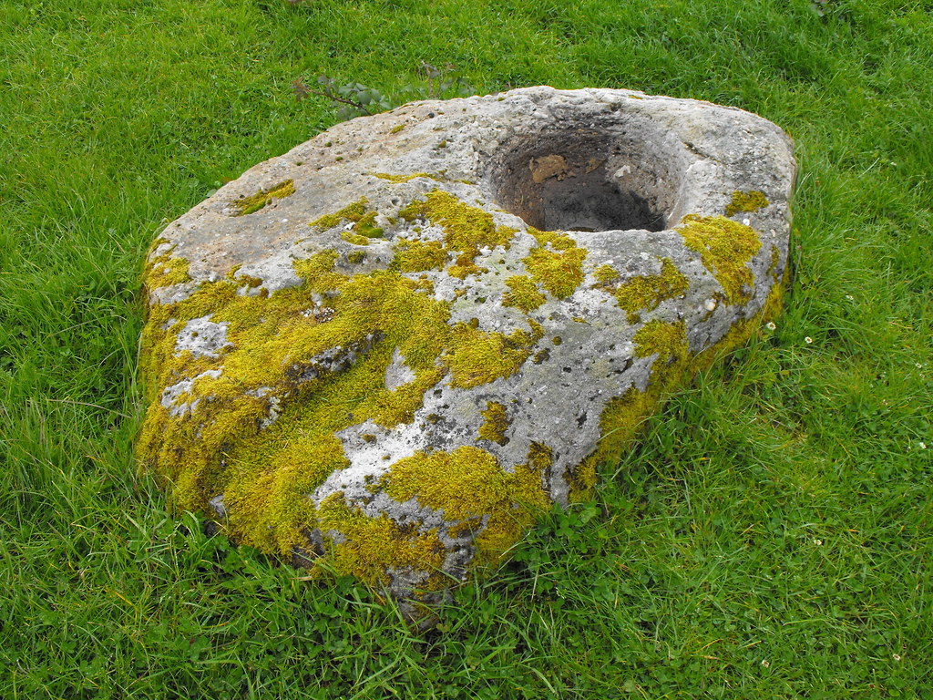
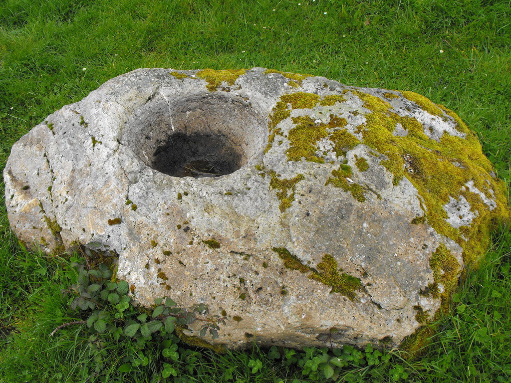
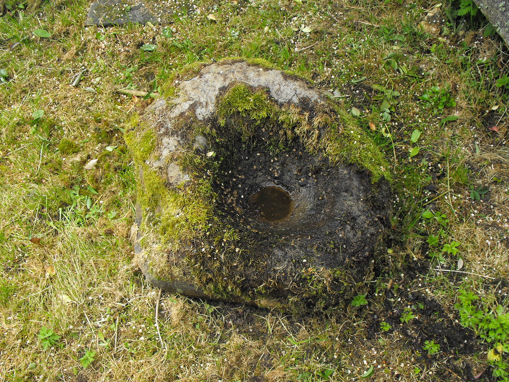
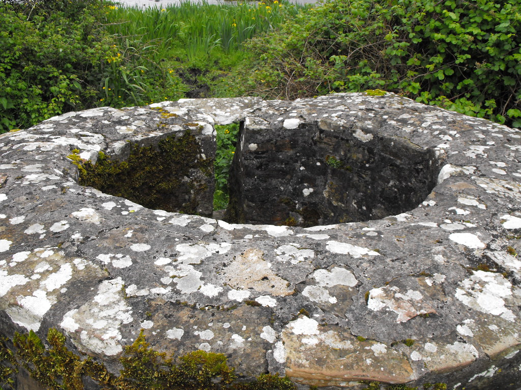
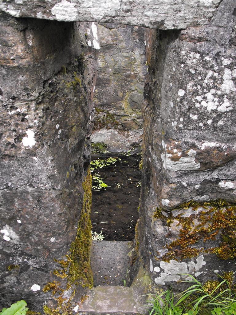
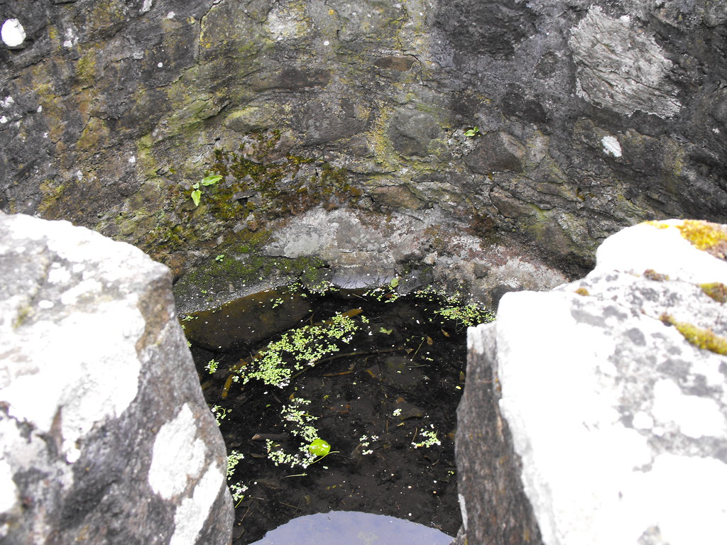
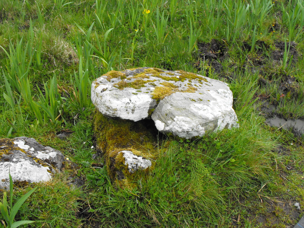
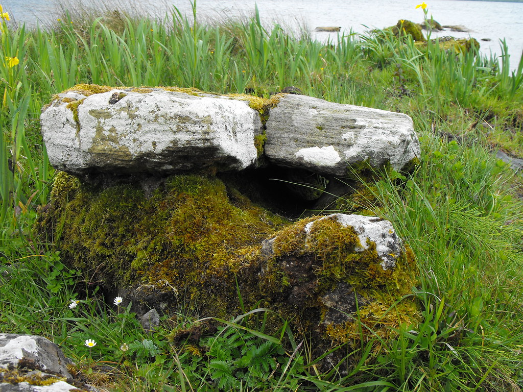
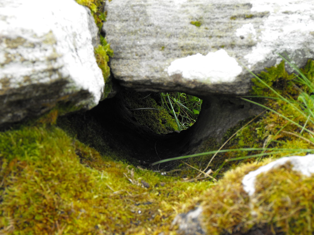
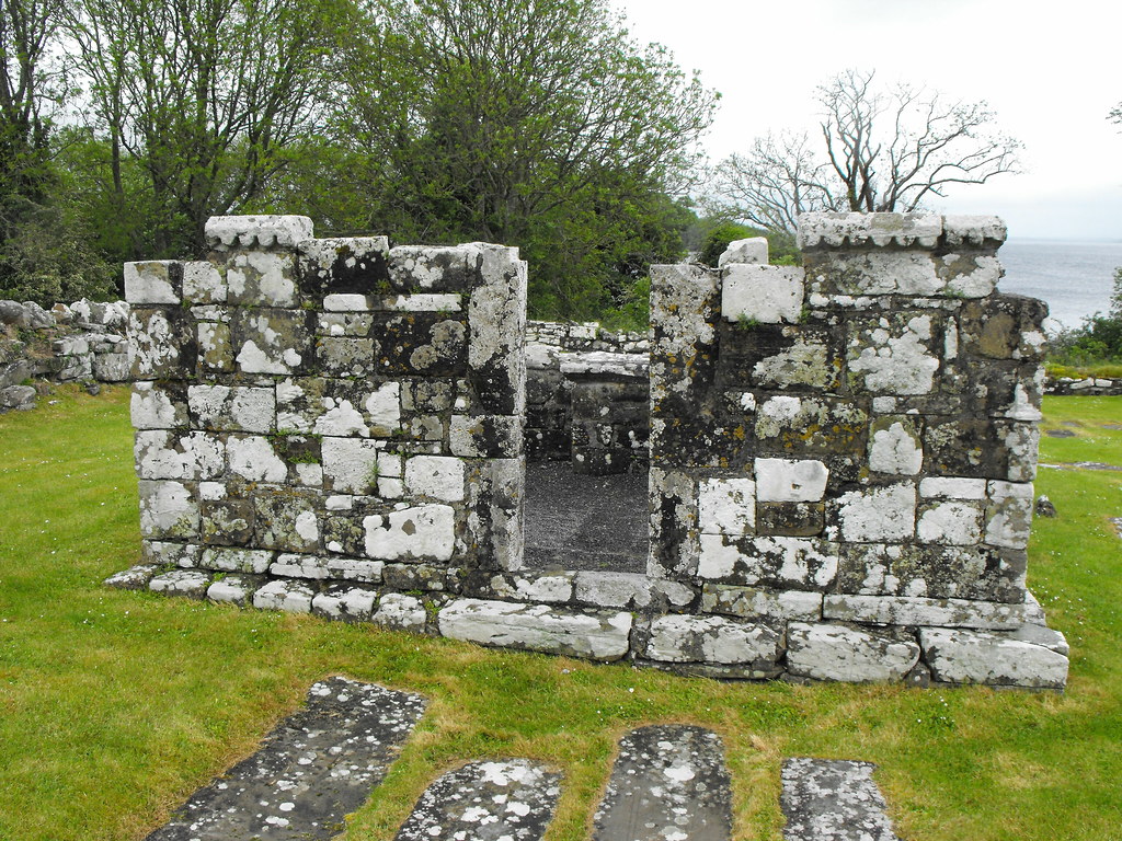
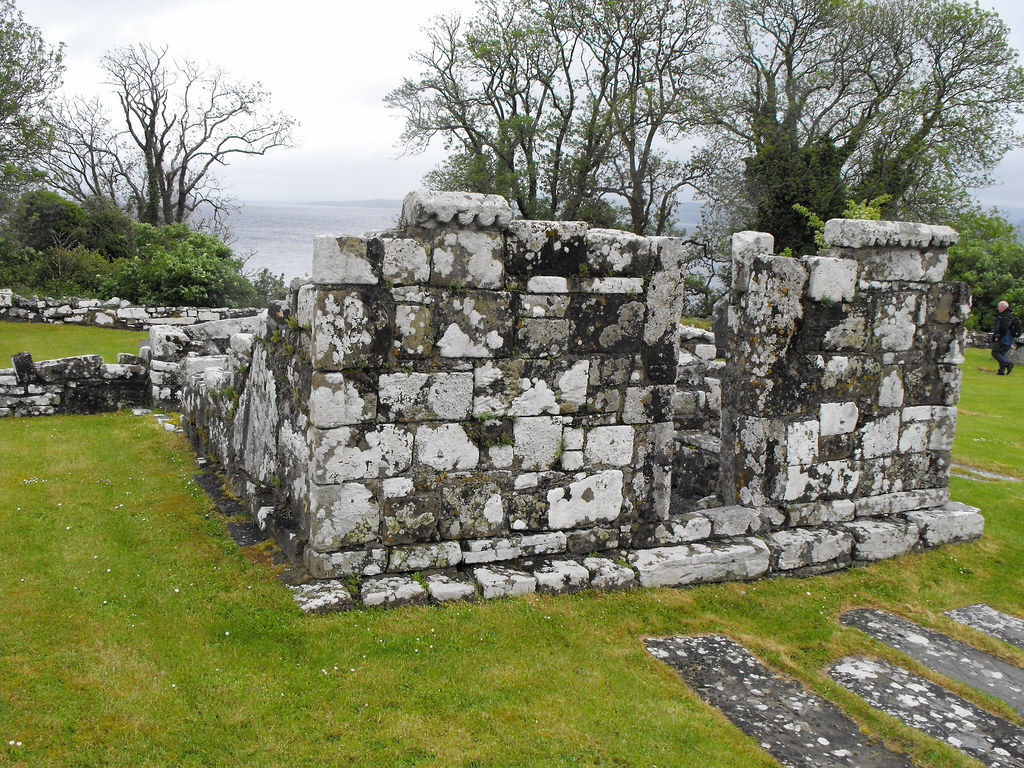
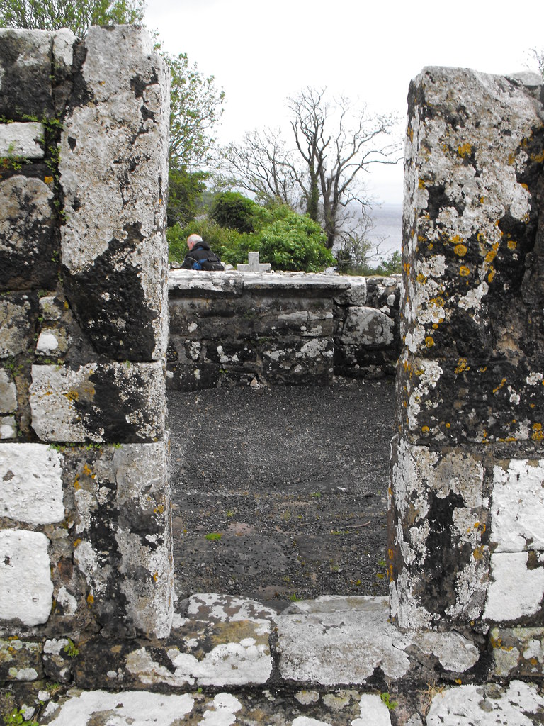
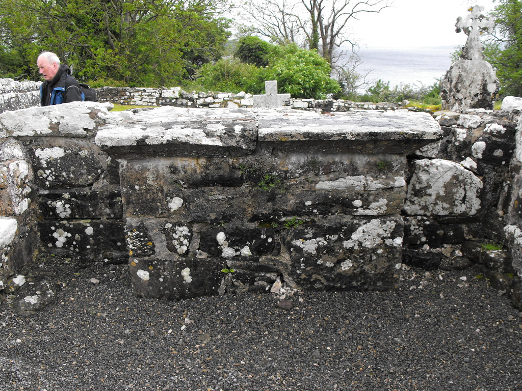
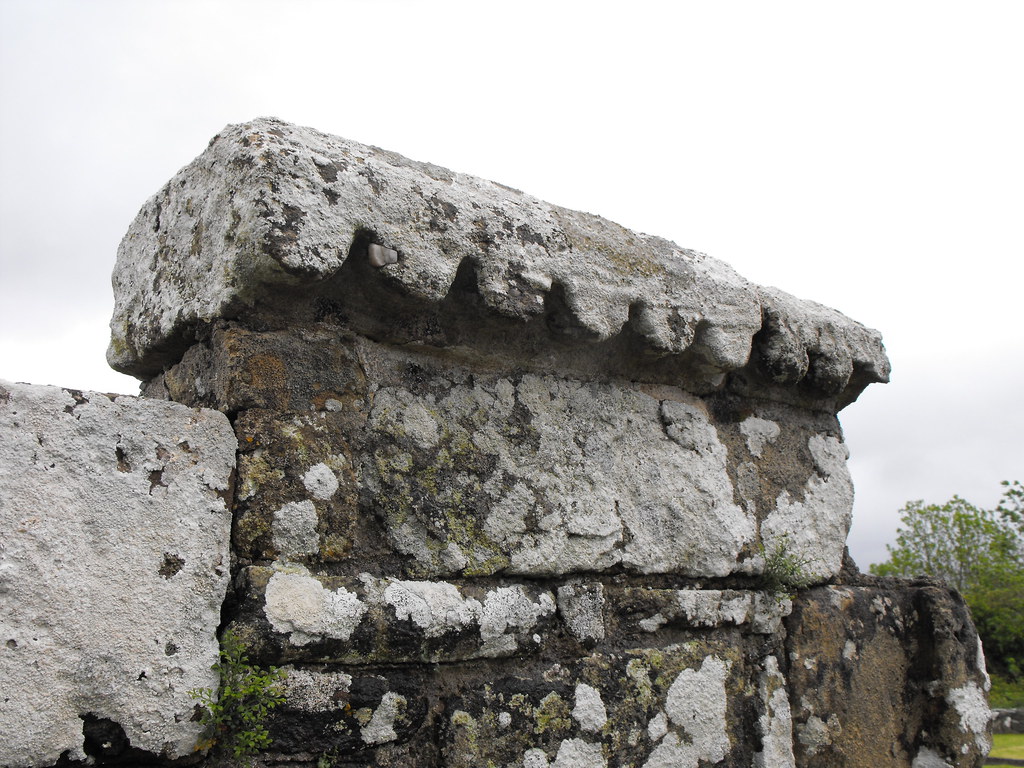
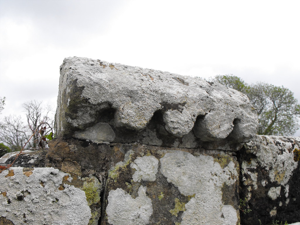
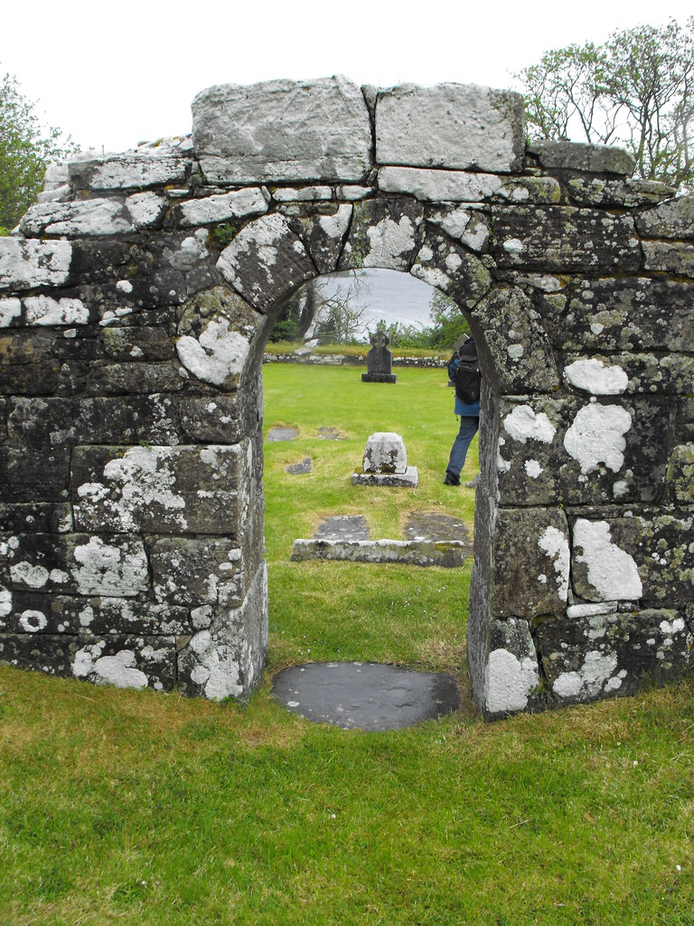
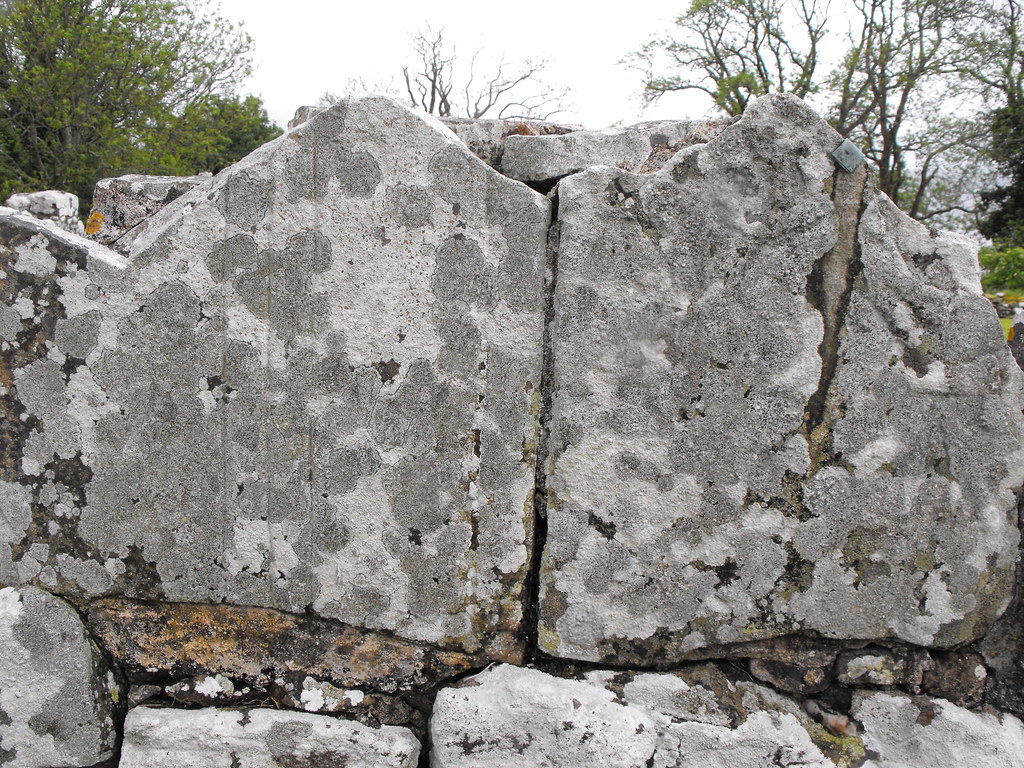
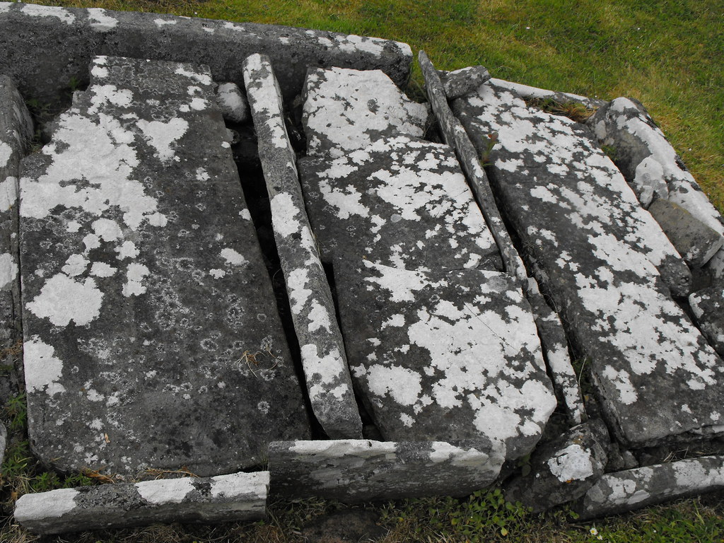
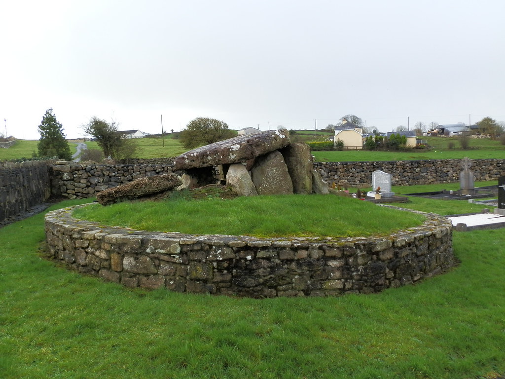
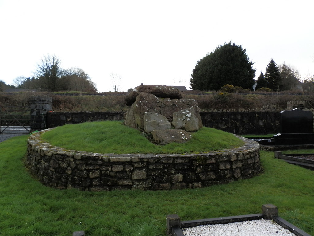
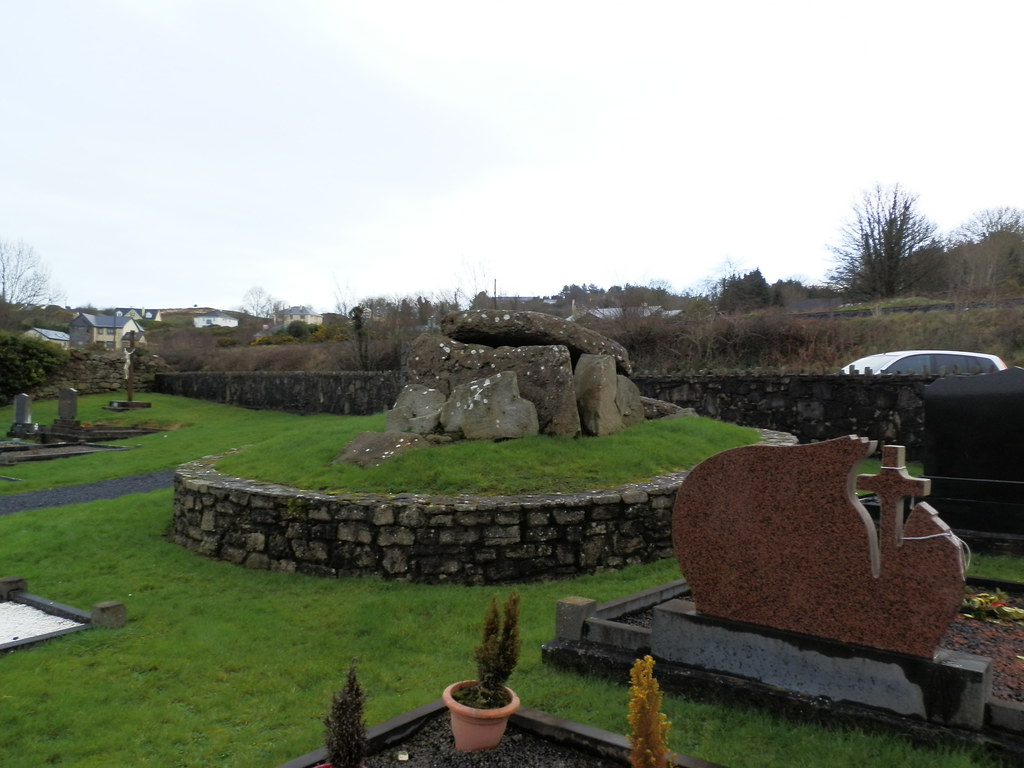
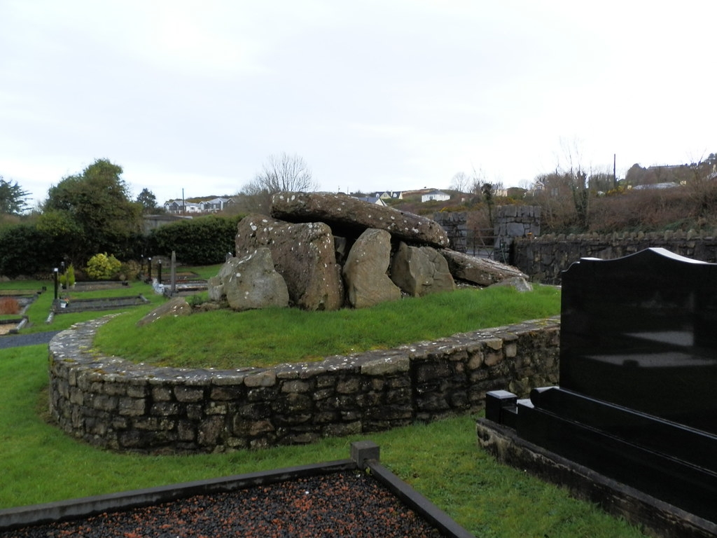
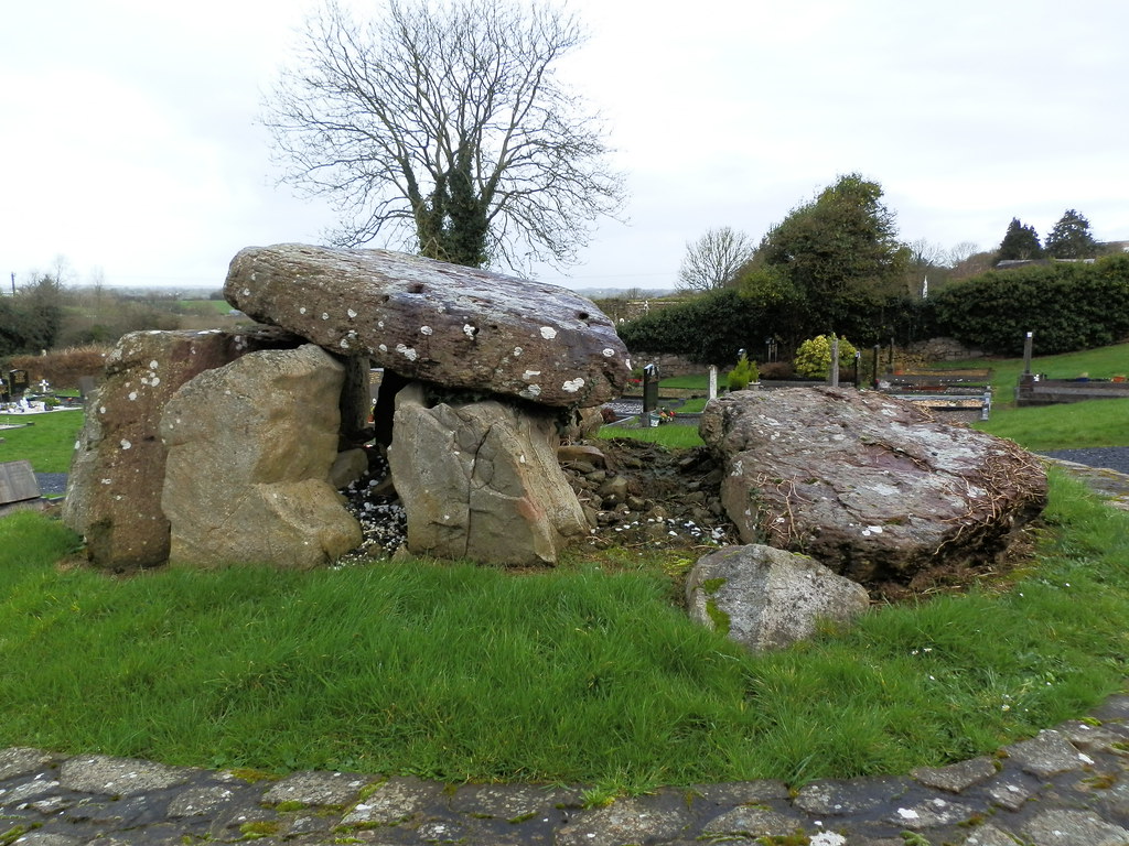
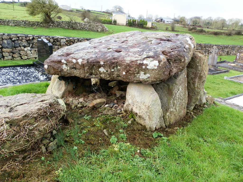
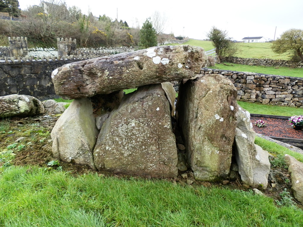
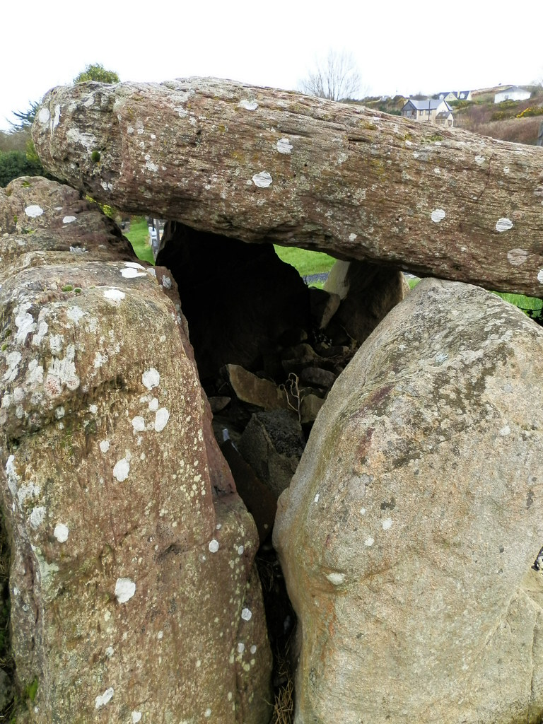
Description and History – This wedge tomb is a little puzzling which just adds to the appeal of it. It is a beautiful little tomb but I couldn’t help asking myself why was it so well preserved in the middle of a graveyard? When I looked around I found out that this tomb is actually a replica of one that used to stand at this site. It was erected by FAS workers after an excavation of the site that found little. I could find little out about this and would love to know if it uses any of the original stones. I was in two minds about putting this up on the site but decided to put this up as a cautionary tale to research what you are looking at the always be aware that archaeology is not always at it seems. It’s still worth having a look at and there are the ruins of a medieval church in the same graveyard.

Difficulty – Easy to view...difficult to get to the graveyard.

For more Neolithic Tombs, click here.
For more sites in Co. Clare, click here.

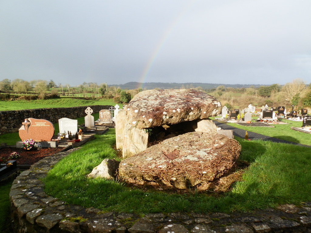
 I like this shot mainly because of the rainbow.


Enhanced by Zemanta

View The Standing Stone in a larger map

The Bullaun Stones, Holy Island, Co. Clare.

Location – These are all in three separate locations around the island. The first pair is located midway between the main complex of buildings and St. Mary’s church.
OS: R 699 850 (map 58)
Longitude: 8° 26' 51.01" W
Latitude: 52° 54' 54.17" N

The second stone is located next to a shed a short distance from the Confessional.

The last stone is in the water and to find this follow the path to the water from the Confessional and follow the shore to the left and you should be able to spot the stone a few meters out. It is one the larger stones.
OS: R 700 851 (map 58)
Longitude: 8° 26' 45.69" W
Latitude: 52° 54' 57.42" N

Description and History – While there are many bullauns on Holy Island I was only able to locate four of them. Two are located next to each other in the middle of a field, one is by a shed and the other is actually in the water and is tough to get to. The first pair are partially buried with one being almost covered up by the earth. These are both large stones with depressions of about 40cm in width. The stone near the shed is probably not in its original location and looks to have been moved. This is a much smaller stone and could almost fit into the holes in the first pair. The final and most impressive stone is actually in the water and requires patience to find. It’s a large stone with a small hole carved near the edge of the top and is well worth seeing as you will find few bullauns like this one.

Difficulty – The pair and stone by the shed are easy to get to while the one in the water is quite difficult.


 The above are the pair of bullauns located next to each other in the open ground.

The above three pictures are of the bullaun by the shed.

The bullaun in the water really is something special to go and see.


Our Lady's Well, Holy Island, Co. Clare.

Location –  Located just behind St. Mary’s church.
OS: R 649 849 (map 58)
Longitude: 8° 26' 50.98" W
Latitude: 52° 54' 50.93" N

Description and History – This is a very well constructed little well in a very traditional style that you don’t see all too often with holy wells in Ireland unless they’ve gone through a modern make-over. This seems much older but not as ancient as other things on the island. It’s very boggy around this well so I couldn’t get a good look inside even with my wellies on.

Difficulty – You’ll need wellies just to get close to this one.


The Bargaining Stone, Holy Island, Co. Clare.

Location – This is located behind St. Mary’s church on the E side of the island.
OS: R 698 849 (map 58)
Longitude: 8° 26' 56.33" W
Latitude: 52° 54' 50.91" N

Description and History – This stone is another oddity of the island. It is a low boulder about 30 cm high about 1.5m long. There is a hole that runs through the stone towards the water. The tradition is that contracts were sealed between monks on the island by shaking hands through this stone, hence its name. While there are many holed stones around Ireland, there are few like this.

Difficulty – This could easily be missed as it’s on the shore like amongst other rocks. It also get boggy down here so bring your wellies – a good tip for the whole island.


The High Cross, Holy Island, Co. Clare.

Location – Next to the round tower a little further back from the main complex.
OS: R 699 851 (map 58)
Longitude: 8° 26' 51.04" W
Latitude: 52° 54' 57.4" N

Description and History – There is little left of this cross and only a section of the shaft remains in situ. There is badly eroded decoration which is a basic knot design. The head of the cross is kept in the nearby church with many other fragments. I would guess that part of the shaft is still missing and that is why they have not been put back together.

Difficulty – This is hard to miss next to the round tower.


The Round Tower, Holy Island, Co. Clare.

Location – Located at the main complex. Visible from the mainland.
OS: R 699 850 (map 58)
Longitude: 8° 26' 51.01" W
Latitude: 52° 54' 54.17" N

Description and History – From the mainland this is the only feature of the site visible as it pokes up above the trees. The top is now missing but you still get a good sense of what it was like. The doorway is about a third of the way up there are two other windows. The decoration is plain but the tower is certainly a highlight of the site.

Difficulty – Impossible to miss.


The Church of the Wounded Man, Holy Island, Co. Clare.

Location – Located a short distance from the main complex
OS: R 699 850 (map 58)
Longitude: 8° 30' 24.4" W
Latitude: 52° 54' 54.18" N

Description and History – There is little left of this early church but it still has its charms. The remaining walls go to a height of 2m in places and there are some decorated pieces of masonry in places. This is one of the earliest remaining structures on the island.

Difficulty – Easy enough to get to, but it is away from the main complex.


 Architectural fragments.

I think this may have been part of a cross-slab.

Ornate grave slab.

Tombs.