
Location – In the centre of Carlow town.
OS: S 718 767 (map 61)
Longitude: 6° 56' 4.01" W
Latitude: 52° 50' 11.46" N
See map at the bottom of the page.
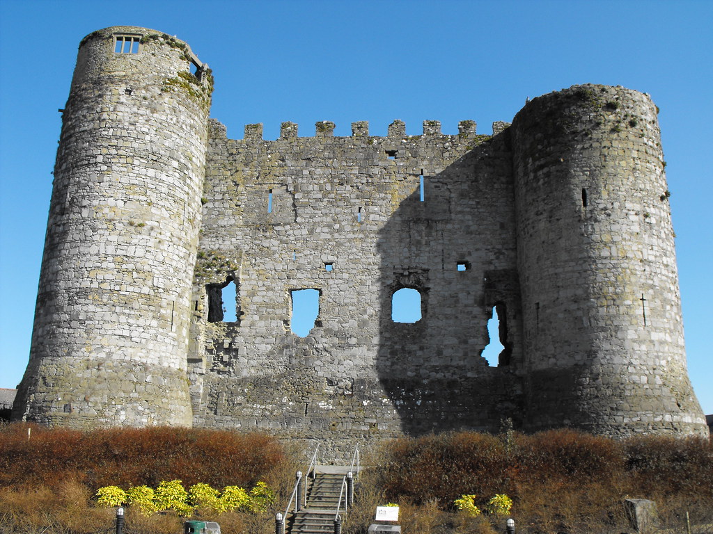
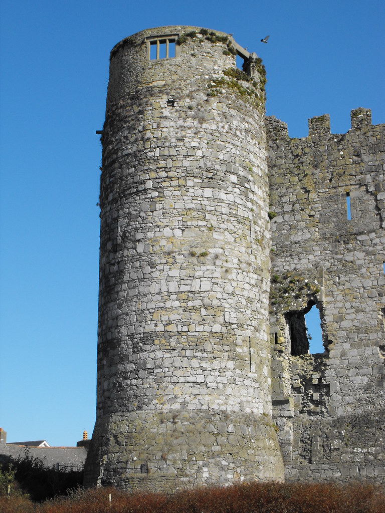
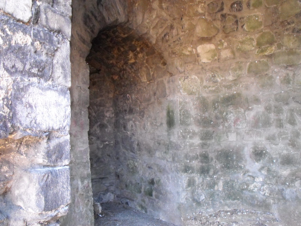
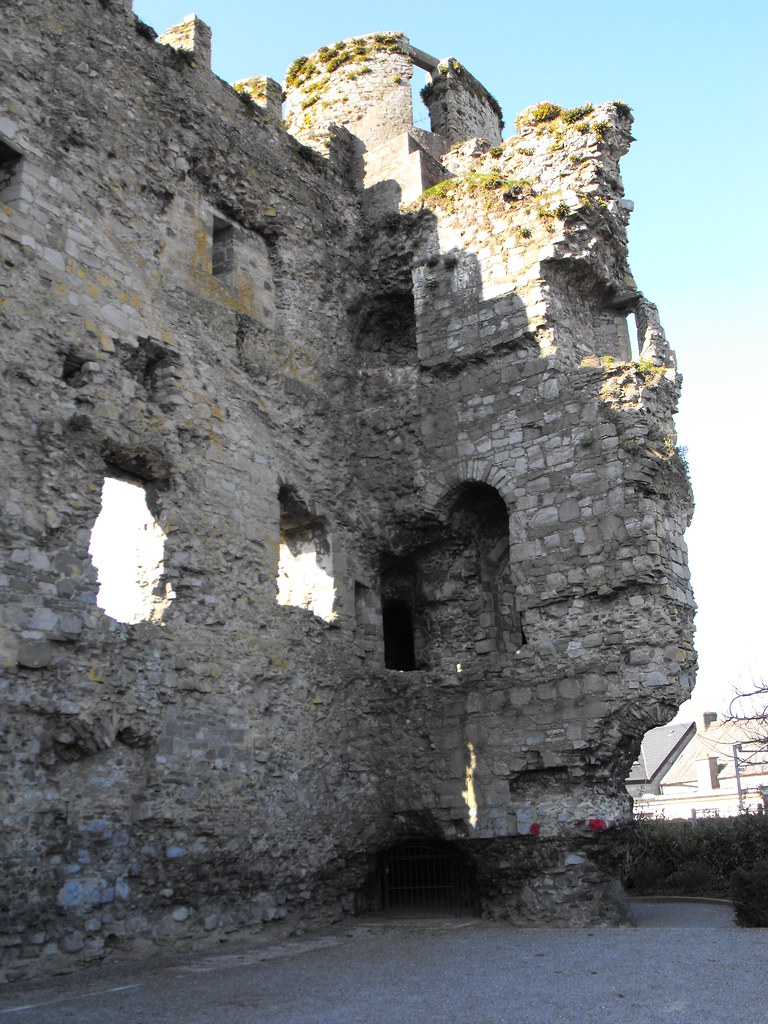
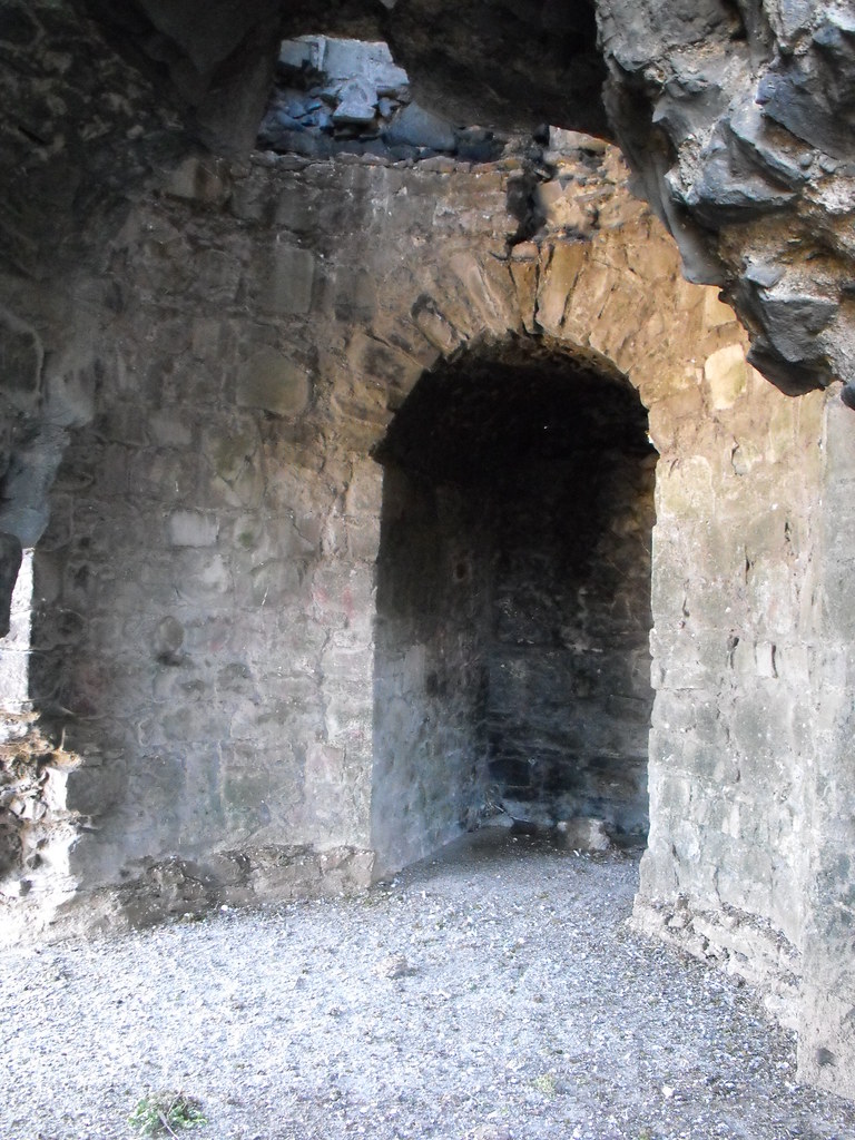
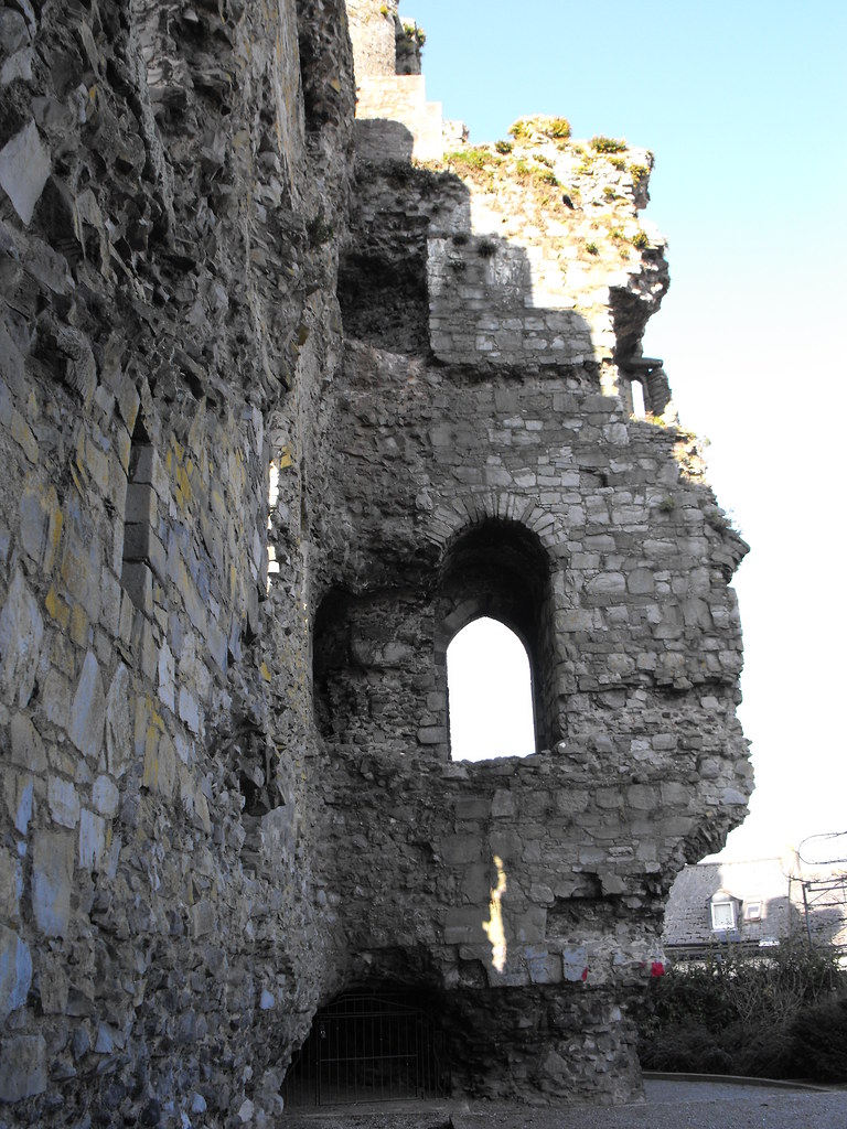
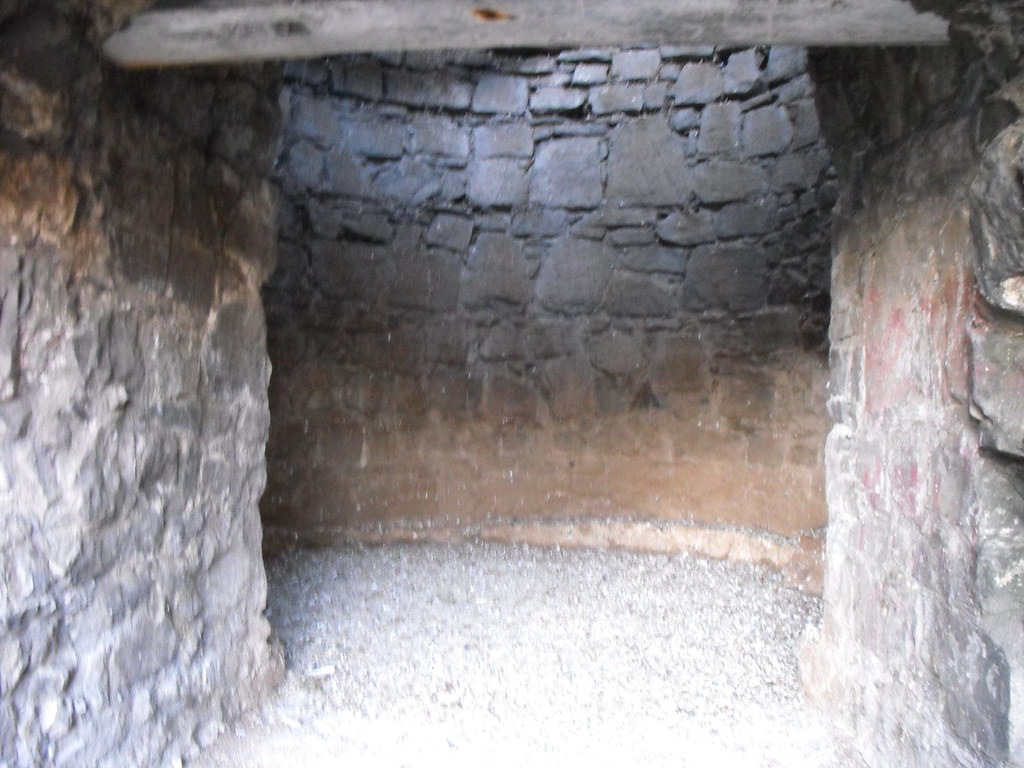
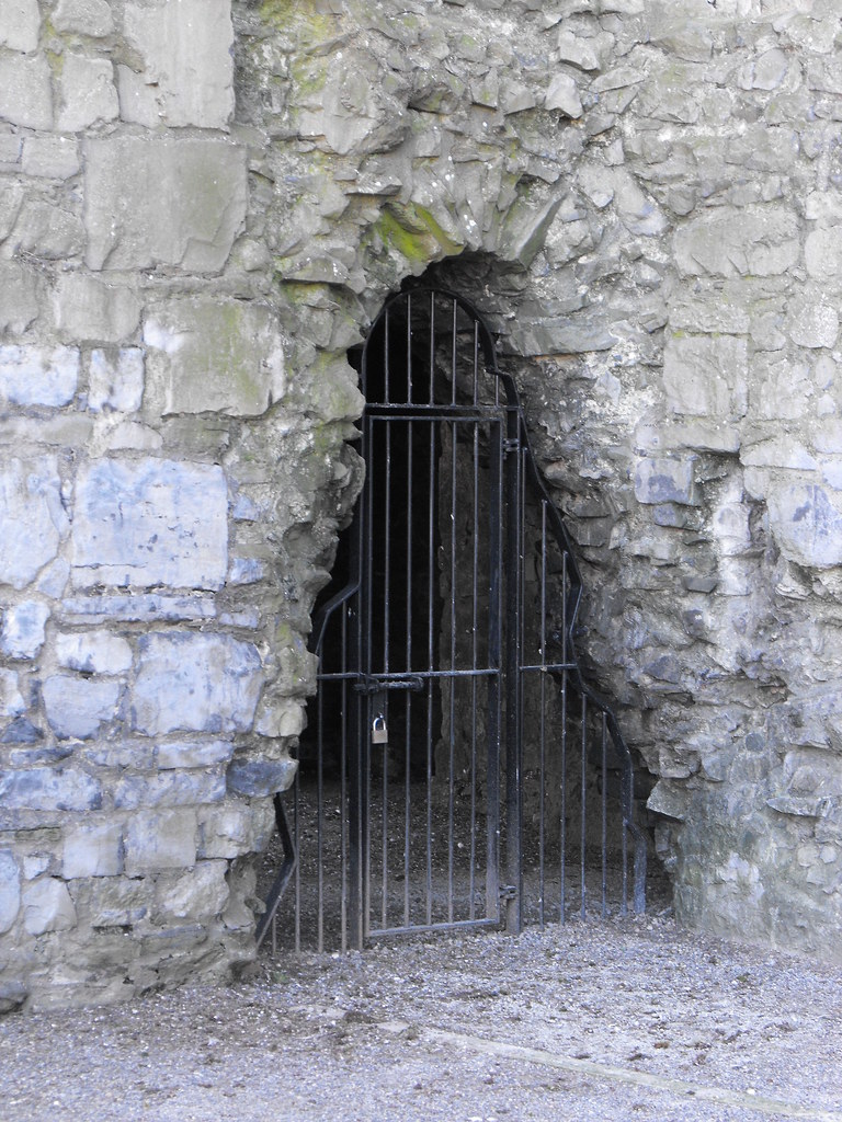
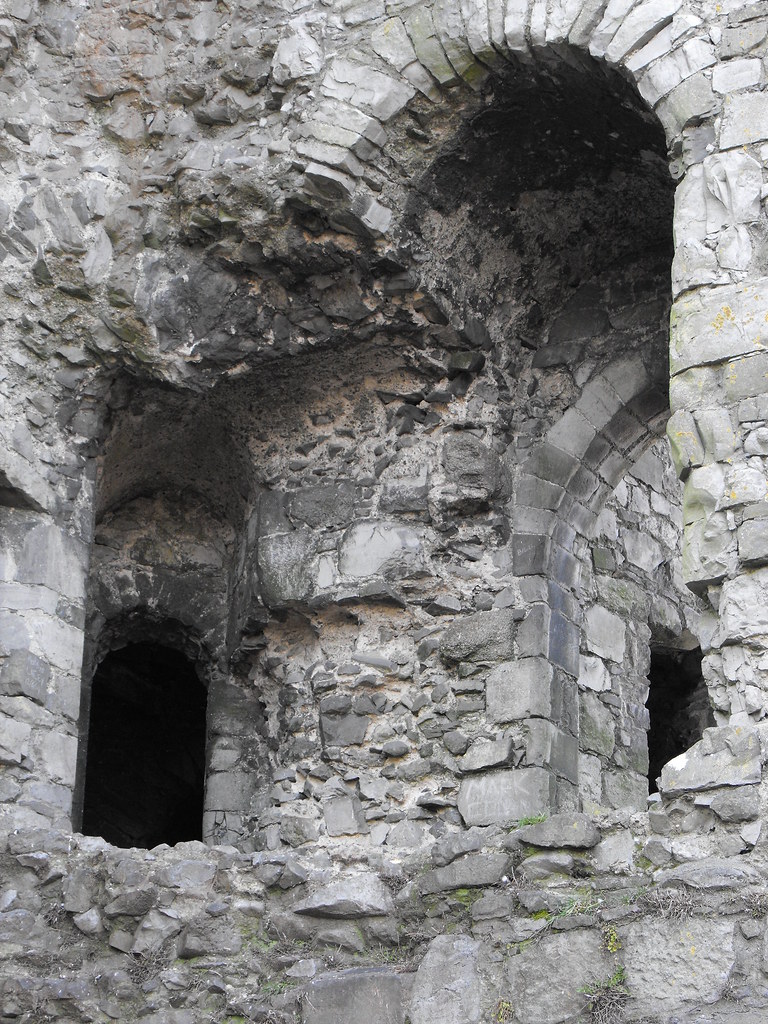
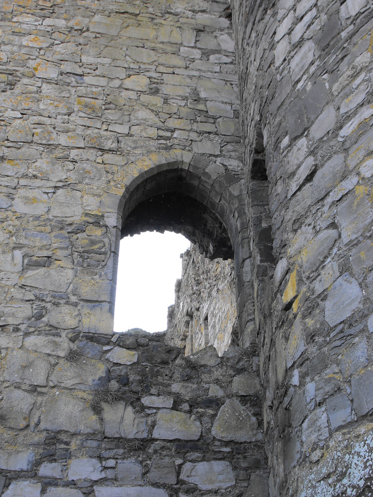
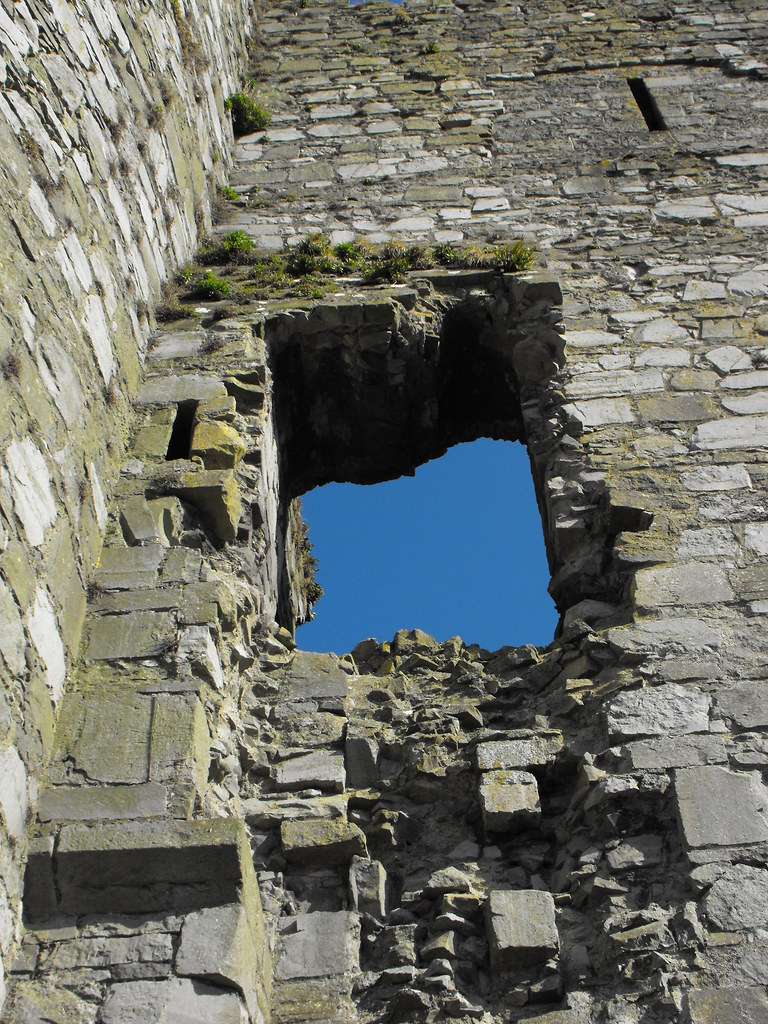
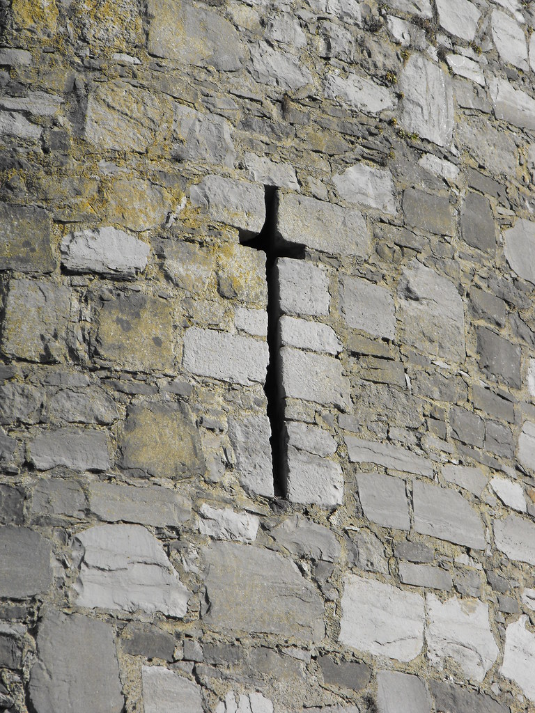
Description and History – Carlow castle is an early 13th century Norman castle and is one of the oldest stone castles in Ireland and was built during the first wave of Normal invaders. It was probably built by William Marshall who succeeded Strongbow as the Earl of Pembroke. It later passed into the hands of Roger Bigod the Earl of Norfolk. In the 19th century the castle was owned by a man called Dr. Middleton who blew up large portions of the castle to clear space for a 'lunatic asylum', which is now destroyed also. All that remains today is the W wall and two circular towers. There is a ruined entrance on this wall with crenallation at the top. The towers have a significant base batter. As nice as this ruin is, it is now bunched in with modern buildings and it is hard to get a sense of the castle as it once was. It is even hard to get a good view of the remaining wall; such is the proximity of the surrounding buildings. It now has a garden feature feel to it.
Difficulty – Easy with ample parking.
For more castles, click here.
For more sites in Co. Carlow, click here.
OS: S 718 767 (map 61)
Longitude: 6° 56' 4.01" W
Latitude: 52° 50' 11.46" N
See map at the bottom of the page.
Description and History – Carlow castle is an early 13th century Norman castle and is one of the oldest stone castles in Ireland and was built during the first wave of Normal invaders. It was probably built by William Marshall who succeeded Strongbow as the Earl of Pembroke. It later passed into the hands of Roger Bigod the Earl of Norfolk. In the 19th century the castle was owned by a man called Dr. Middleton who blew up large portions of the castle to clear space for a 'lunatic asylum', which is now destroyed also. All that remains today is the W wall and two circular towers. There is a ruined entrance on this wall with crenallation at the top. The towers have a significant base batter. As nice as this ruin is, it is now bunched in with modern buildings and it is hard to get a sense of the castle as it once was. It is even hard to get a good view of the remaining wall; such is the proximity of the surrounding buildings. It now has a garden feature feel to it.
Difficulty – Easy with ample parking.
For more castles, click here.
For more sites in Co. Carlow, click here.
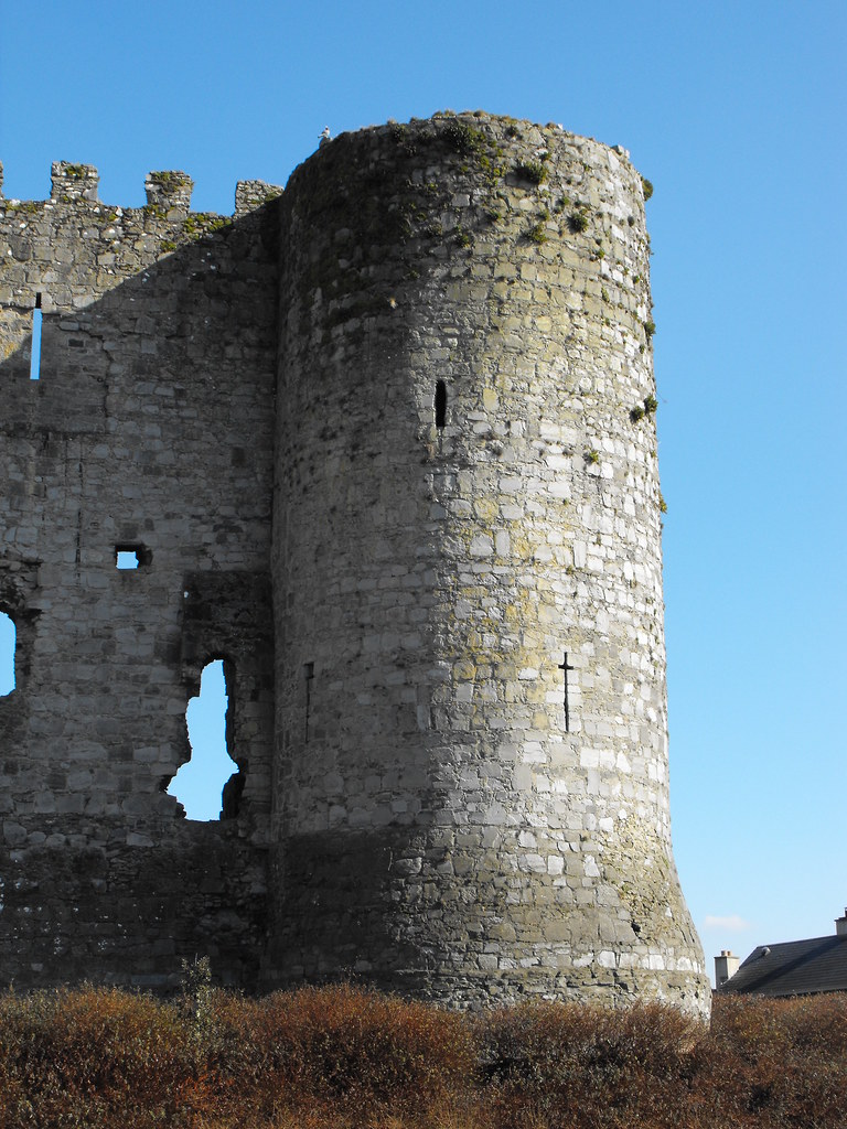
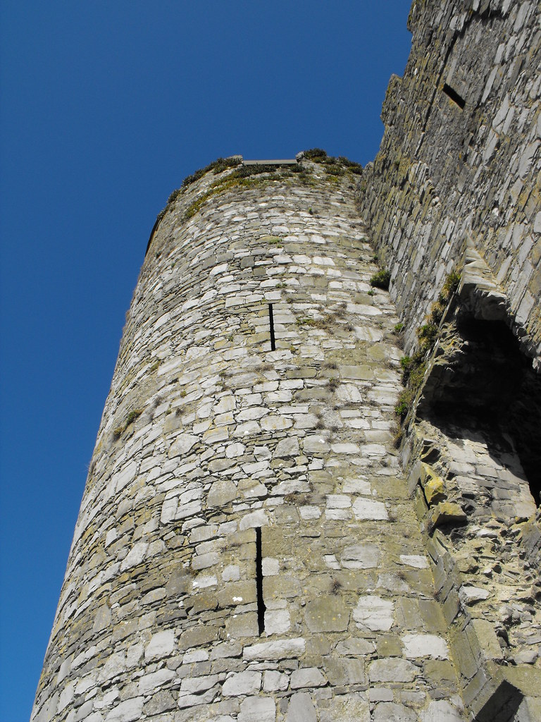
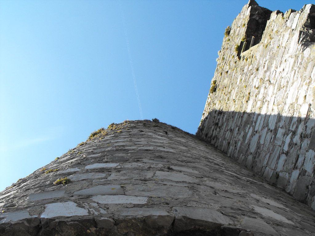
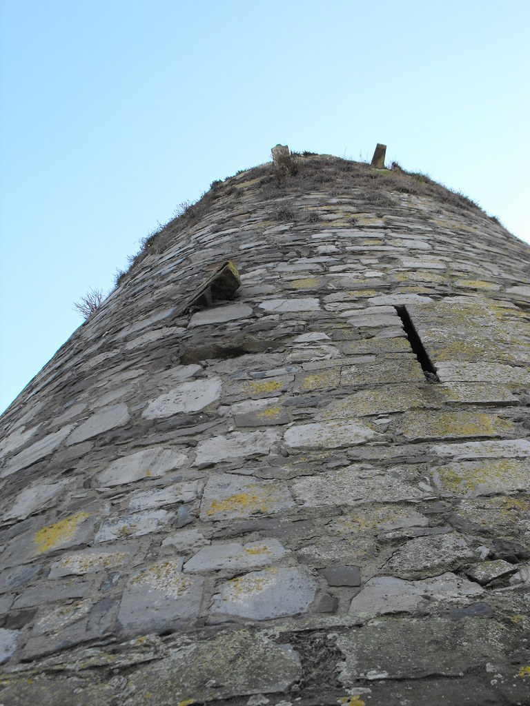

Note the base batter.


View The Standing Stone in a larger map