Kilrush Church, Limerick City, Co. Limerick.

Location – This church is in an odd location in Westfields housing estate which is next to the N18. I’d advise using a map for this one. It is, however, located in the conveniently named 'Old Church Road.'
OS: R 557 568 (map 65)
Longitude: 8° 37' 29.23" W
Latitude: 52° 39' 38.76" N
GPS: R 57730 56795 (Accuracy – 5m)
See map at the bottom of the page.

Description and History – This church is both wonderful and sad at the same time. In is wonderful in that this is a pre-Norman church that has survived and it is sad in that it is now part of a little green in a housing estate. The world has moved on and left this behind but it still stands in the middle of the modern world. It is so close to some houses that one wall is actually the boundary of someone’s garden. The first mention of this church is in 1201 but the huge building blocks and huge lintel stone betray its earlier and pre-Norman/pre-Romanesque origins. These churches are so rare that it is really wonderful to see one so well preserved. I can’t believe more isn’t made of this church. The window in the S wall has a medieval inscription which was inserted into this church in the early 20th century. The inscription came from a now destroyed nearby Franciscan church. Although it is sad to see it is nothing more than a garden feature now it is well maintained and cared for. However, some stabilisation work has been carried out which leaves a lot to be desired. They essentially propped it up with a brick pillar.

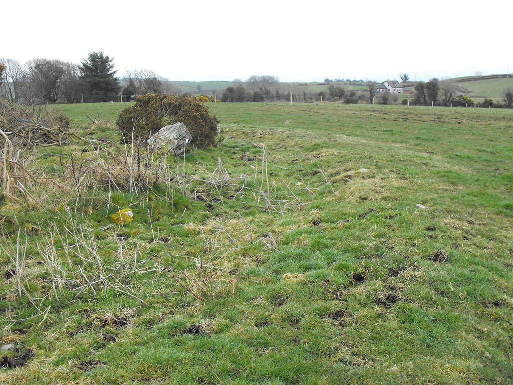
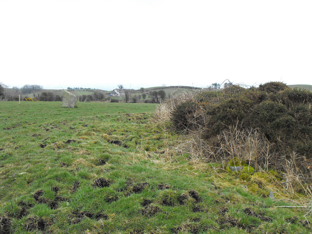
Difficulty – This is difficult to find and isn’t exactly where indicated on the OS map. You will not be able to see it from the main road. You have to go into a little cul-de-sac.

For more ecclesiastical sites, click here.
For more sites in Co. Limerick, click here.

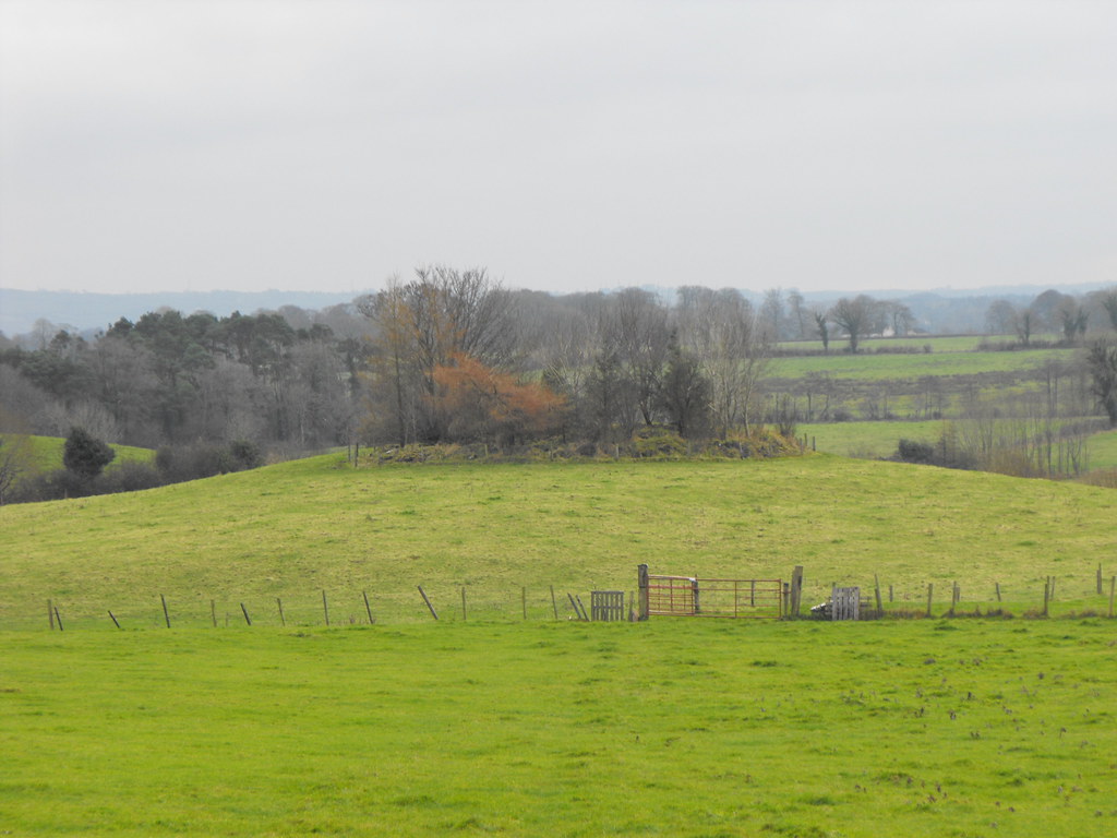
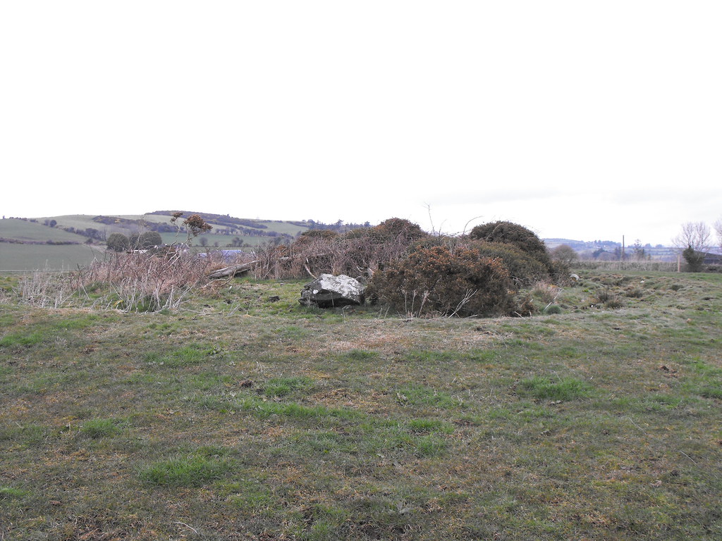
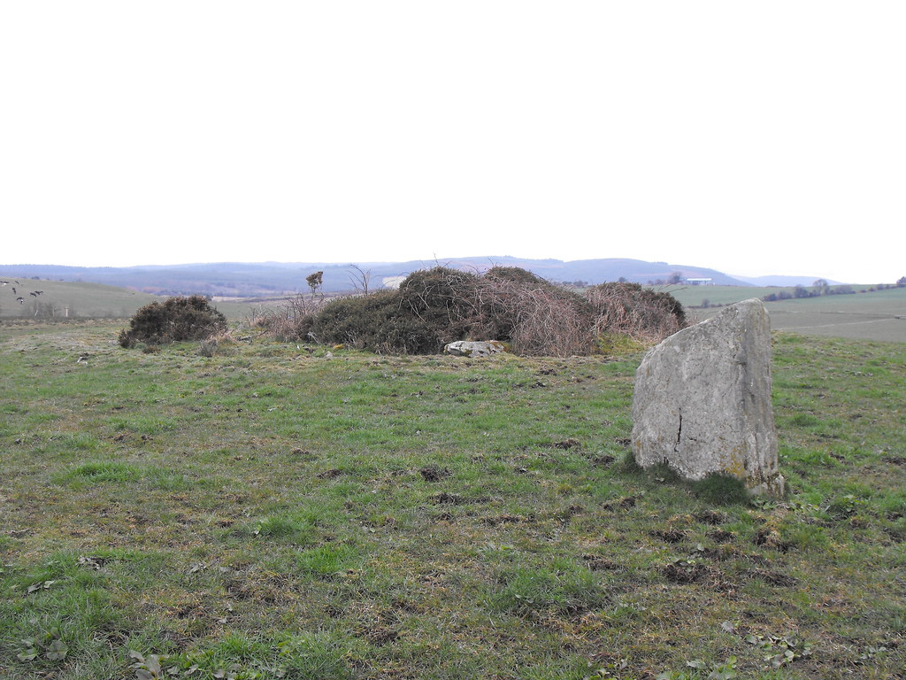
 It is nestled away in some trees.


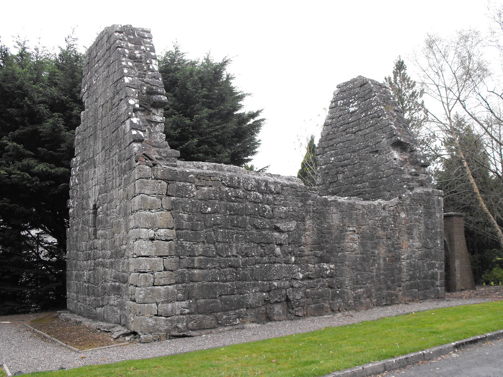
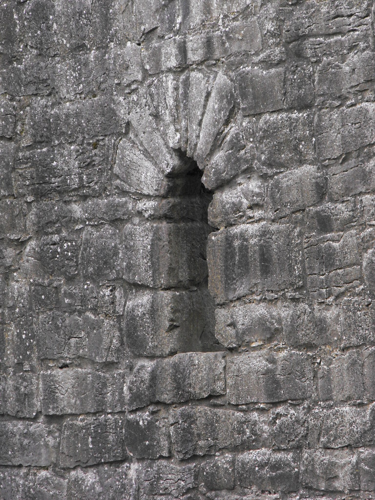
 The huge stones used to construct this church are typical of pre-Normal churches.

I really don't like the conservation efforts. That supporting pillar is awful.

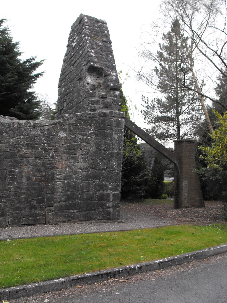
But then again that wall is leaning forward so something needed to be done.

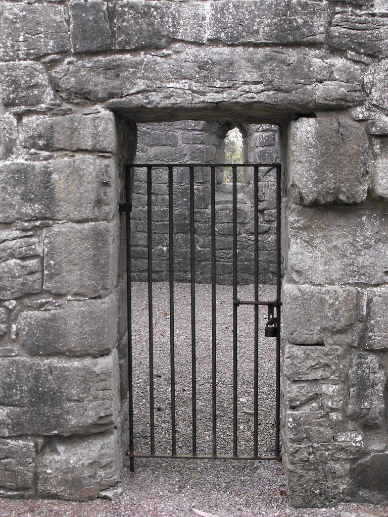
This is a really simple and lovely doorway.

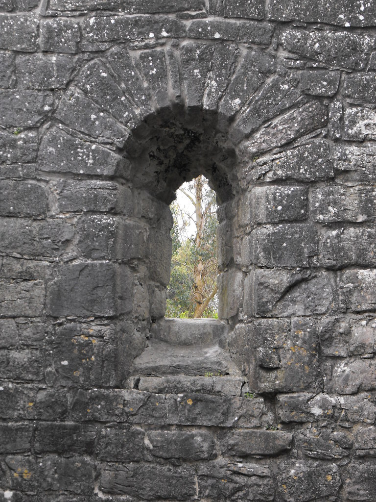
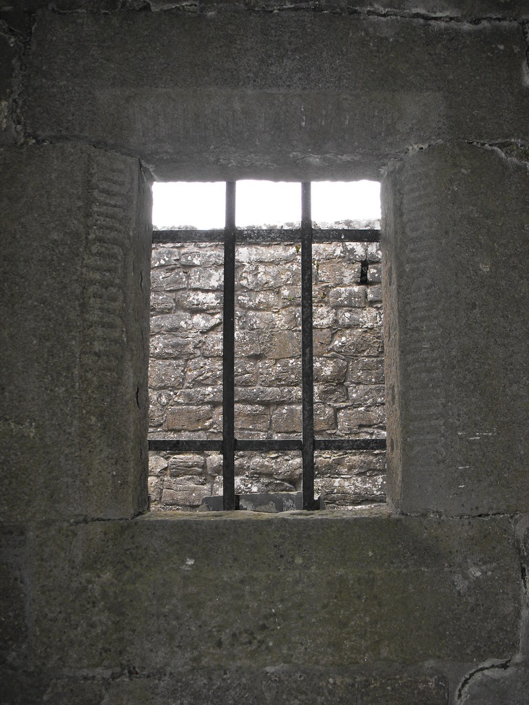
The later medieval inscription.


View The Standing Stone in a larger map

Gorraun, Ring-Barrow, Co. Offaly.

Location – In the foothills of the Slieve Blooms.
OS: S 162 929 (map 54)
Longitude: 7° 45' 31.51" W
Latitude: 52° 59' 11.9" N
See map at the bottom of the page.

Description and History – Listed on the current OS map as a mound this is actually a well preserved ring-barrow about 9m wide and 1m high. I couldn’t get closer to it on the day I was passing as there was a lot of flooding between me and the mound so walking to it was impossible. It looks to be well preserved apart from the trees and I will pop back here next time I’m passing and in better weather.

Difficulty – Fairly easy to spot from the road but the area is prone to flooding.

For more barrows, cairns and tumuli, click here.
For more sites in Co. Offaly, click here.


View The Standing Stone in a larger map

Ballyhogan, Rath and Stone, Co. Tipperary.

Location – Not far from the N7 in the foothills of the Arra Mountains near Nenagh. Bring your map for this one.
OS: R 798 764 (map 59)
Longitude: 8° 17' 59.14" W
Latitude: 52° 50' 19.32" N
GPS: R 79802 76453 (Accuracy - 5m)
See map at the bottom of the page.

Description and History – This rath is quite large and is nearly 40m in diameter. The entrance is located in the E side of the rath and is 4m wide. The bank and ditch is very overgrown but the interior is clear. Unfortunately there is a lot of rubbish in the fosse and it is full of old fridges and ovens. Apart from that this large rath is very nice and well preserved. The stone is nearly 2m tall and is now recumbent. It was once standing but not in this location and was moved here from nearby. It is known as the longstone.

Difficulty – Really easy to get to. It’s in a roadside field.

For more ringforts, click here.
For more standing stones, click here.
For more sites in Co. Tipperary, click here.

Panoramic shot of the rath. Click for a larger view.

You can see the stone lying down in front of the rath. The stone was originally near the edge of the field and was pushed to the rath after it fell. They are probably unconnected sites.

The bank rises to about 2m in height in places.

The causewayed entrance.

Part of the bank and fosse. Compared to a lot of raths out there this one is fairly clear.

The causewayed entrance from the inside.


View The Standing Stone in a larger map

Barbaha, Ring Barrow and Standing Stone, Co. Tipperary.

Location – In the foothills of the Arra Mountains. Bring your map for this one.
OS: R 782 763 (map 59)
Longitude: 8° 19' 21.87" W
Latitude: 52° 50' 16" N
GPS: R 78253 76357 (Accuracy – 5m)
See map at the bottom of the page.

Description and History – This site was a little puzzling to me. I first passed this a couple of years ago when I was without an Ordinance Survey map so I could never figure out where it was so I could get back there for another look. By chance a local land-owner contacted me to go and look at a few sites and brought me out to this one. For some reason I had it stuck in my head that this was some kind of wedge or court tomb and I was blinded by the fact that it was a simple ring barrow and standing stone. Nevertheless, this is a nice little monument but does need a little tidying up. The barrow it getting a little overgrown now. It is about 10m in diameter and rises to only 0.5m high. There are also two boulders protruding from the bank and fosse. The standing stone stands about 8m to the E of the barrow and it 1.45m high. Although not a huge stone, it is a lovely shape and your eye is drawn to it.

Difficulty – Pretty easy to get to but there is a lot of electric fences so be careful.

For more barrows, click here.
For more standing stones, click here.
For more sites in Co. Tipperary, click here.
You can see one of the boulders protruding from the barrow here. They may have been standing once and pushed into the barrow when they fell.
In the centre of the photo you can see the stone row at Carrigeen which is visible from this barrow and stone.

View The Standing Stone in a larger map