Wells, Church, Co. Carlow.

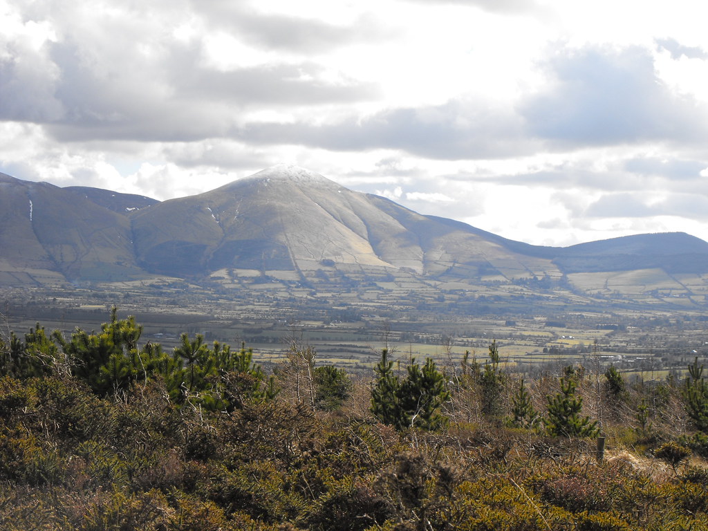
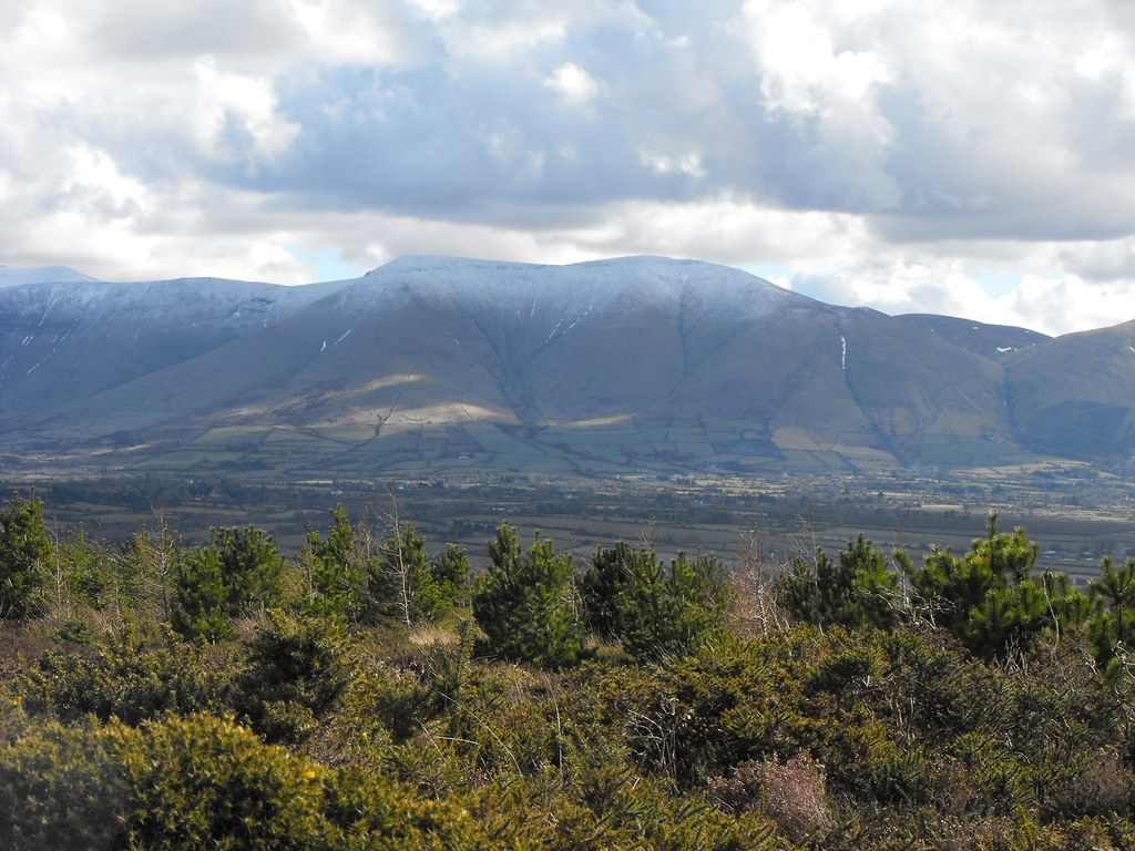
Location – Located on the N9 near Bagenalstown. The entrance is through a small gate on the side of the road which can be a little hard to spot. You have to then walk down a track for about 100m. There is parking.
OS: S 682 608 (map 61)
Longitude: 6° 59' 23.51" W
Latitude: 52° 41' 40.06" N
GPS: S 68288 60840 (Accuracy: 3m)
See map at the bottom of the page.

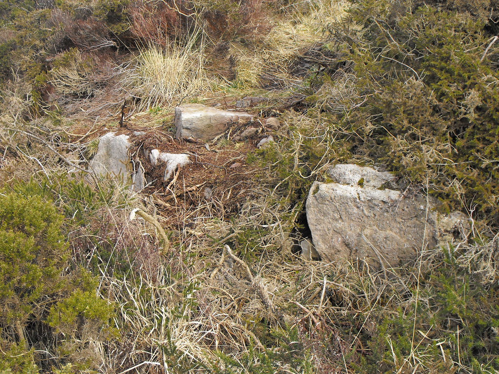
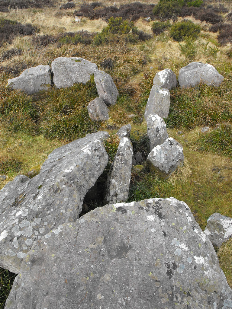
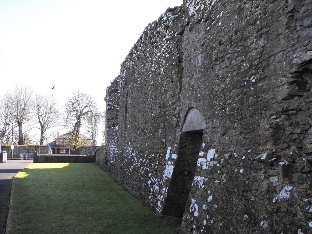
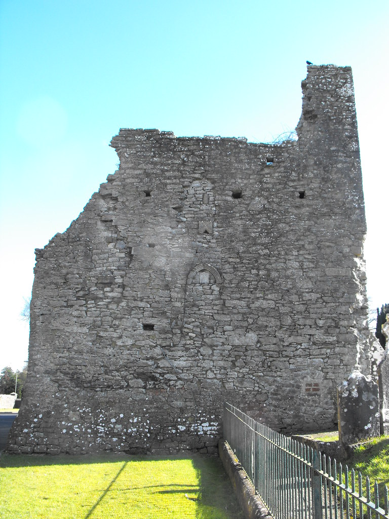
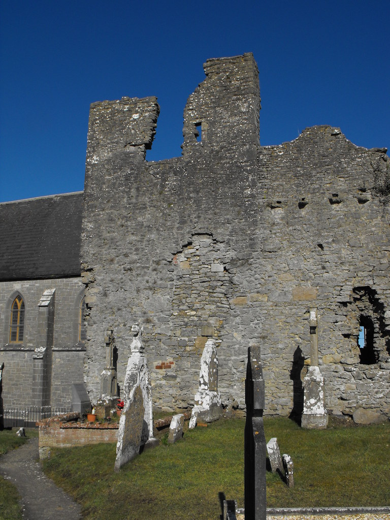
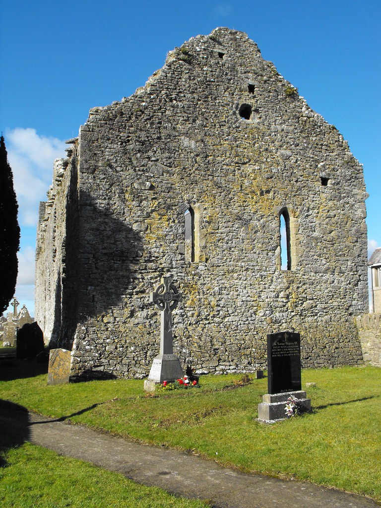
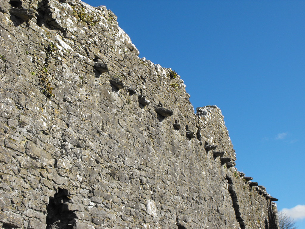
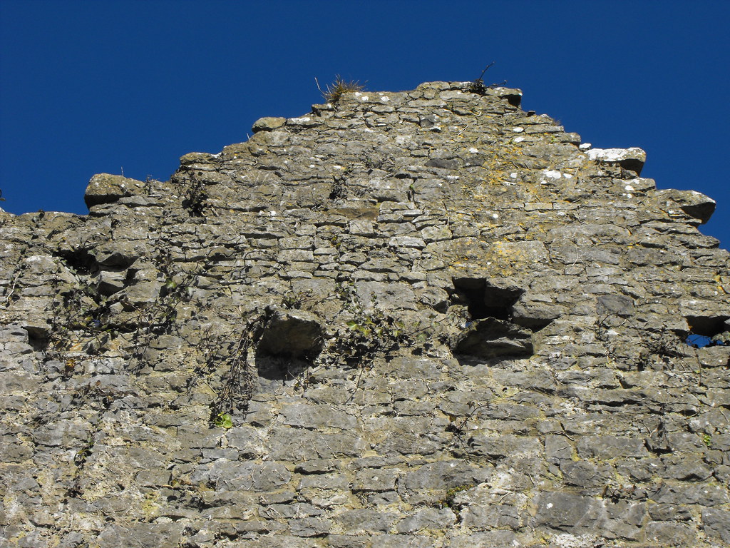
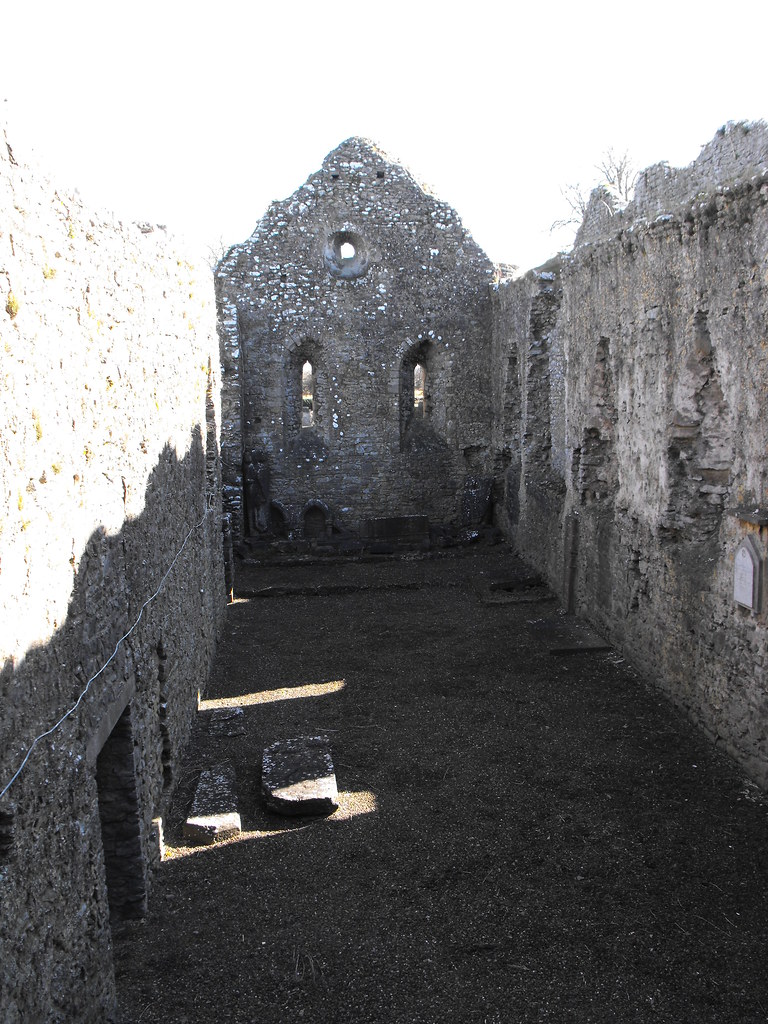
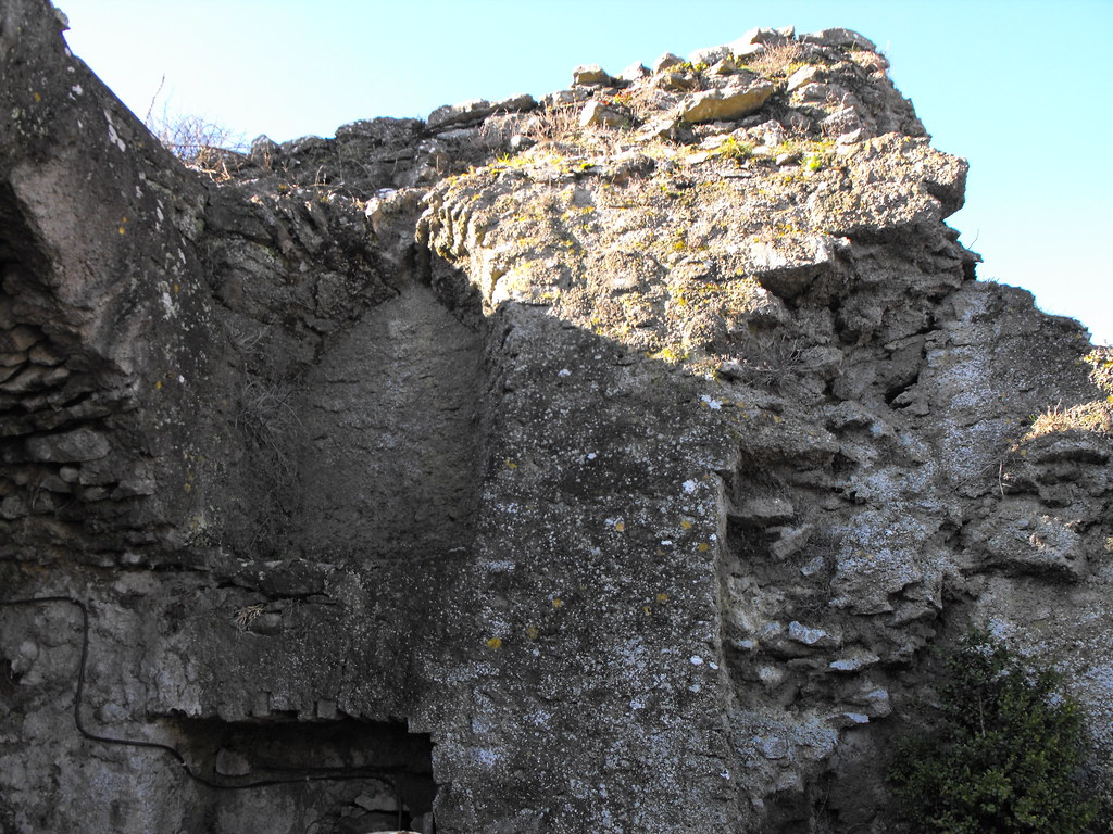
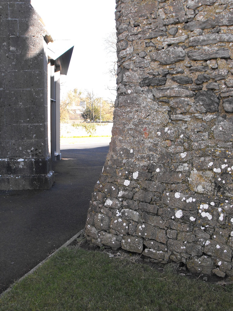
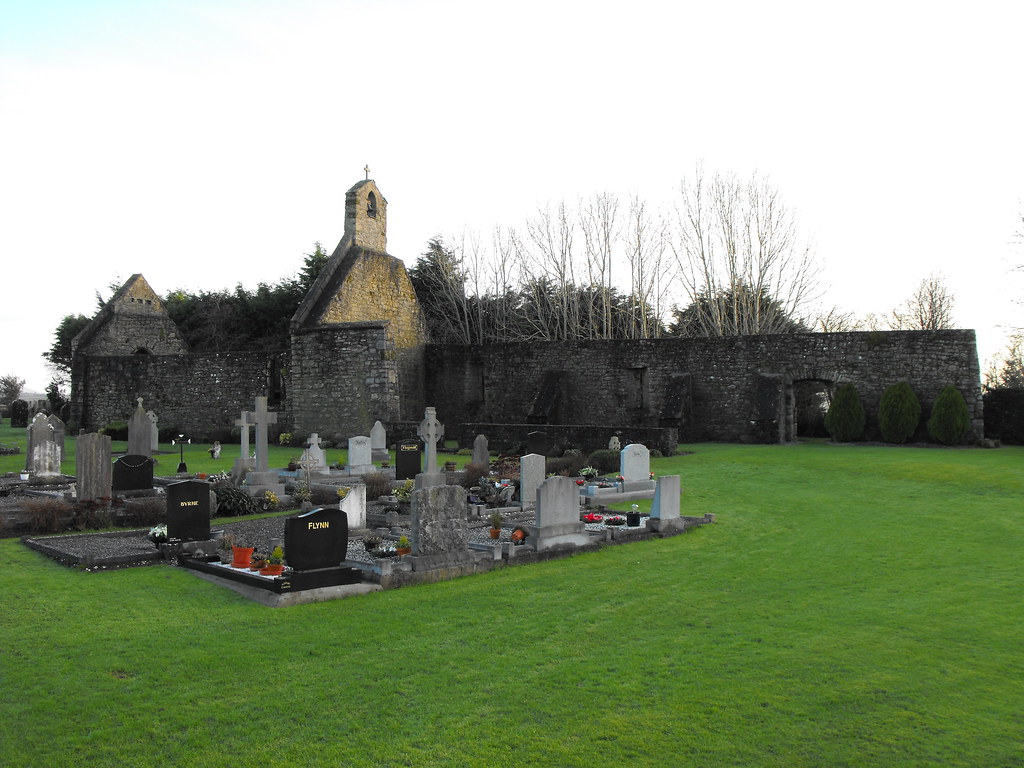
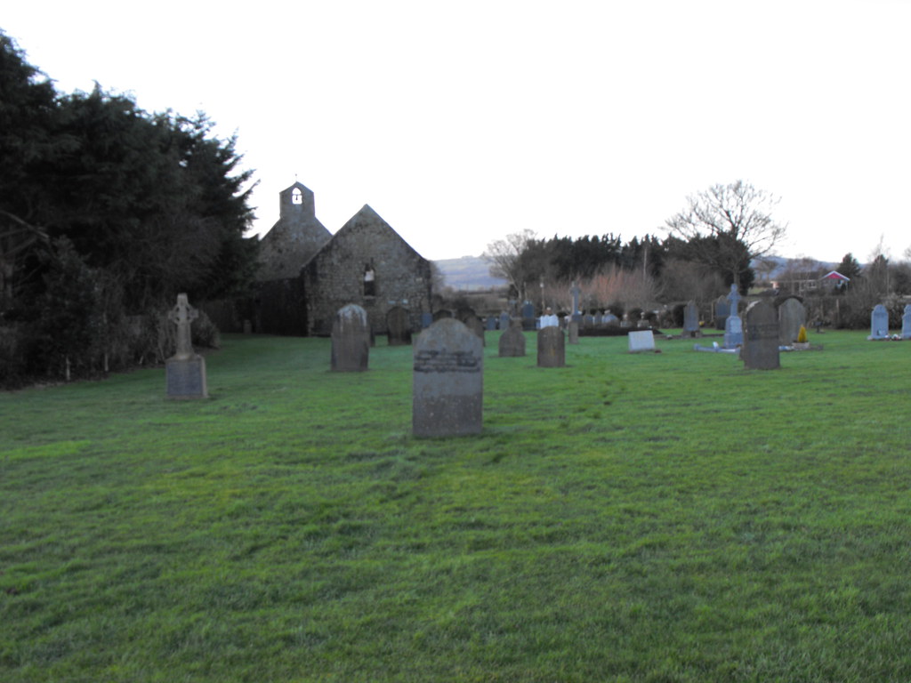
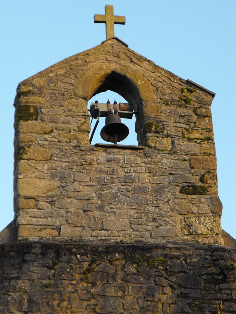
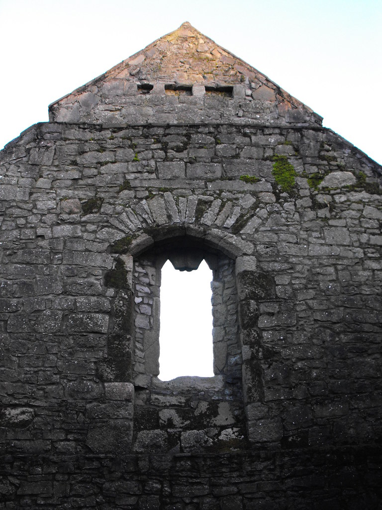
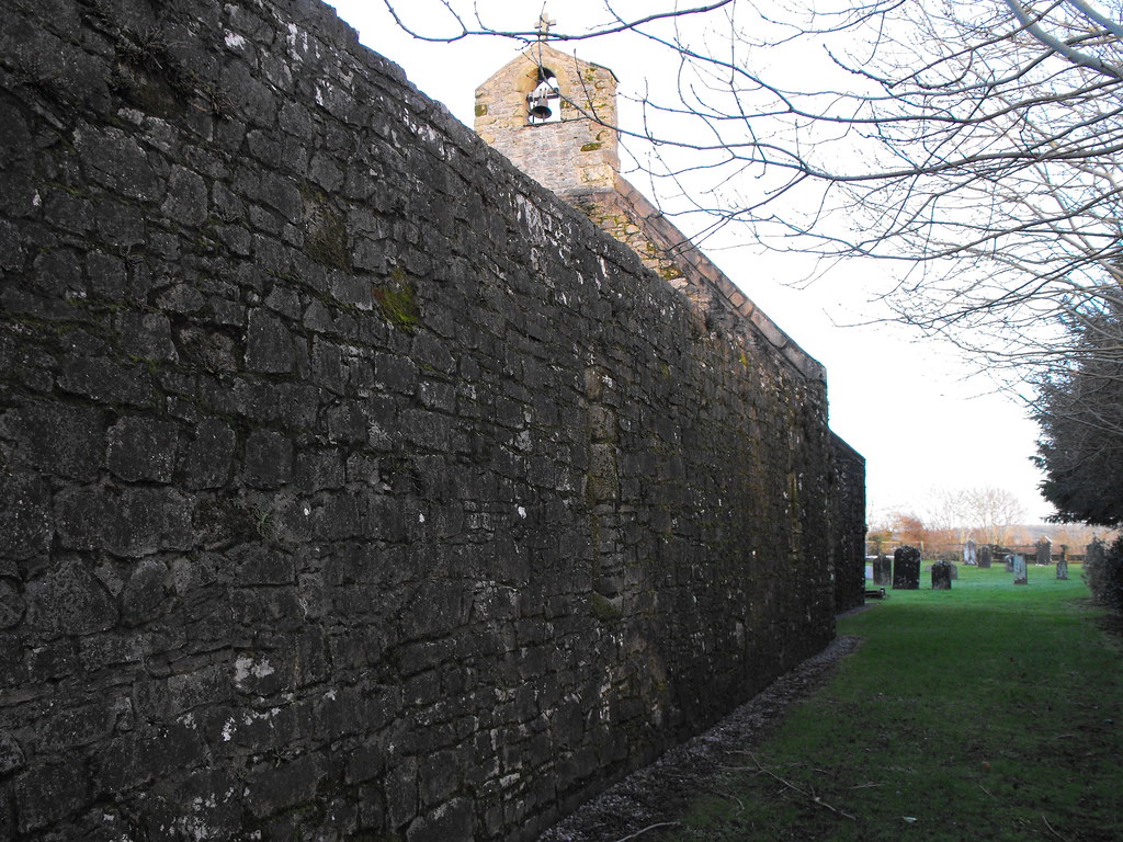
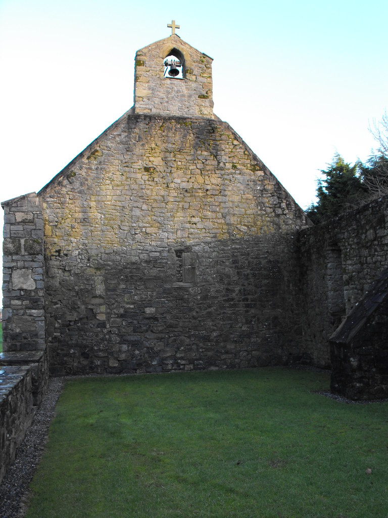
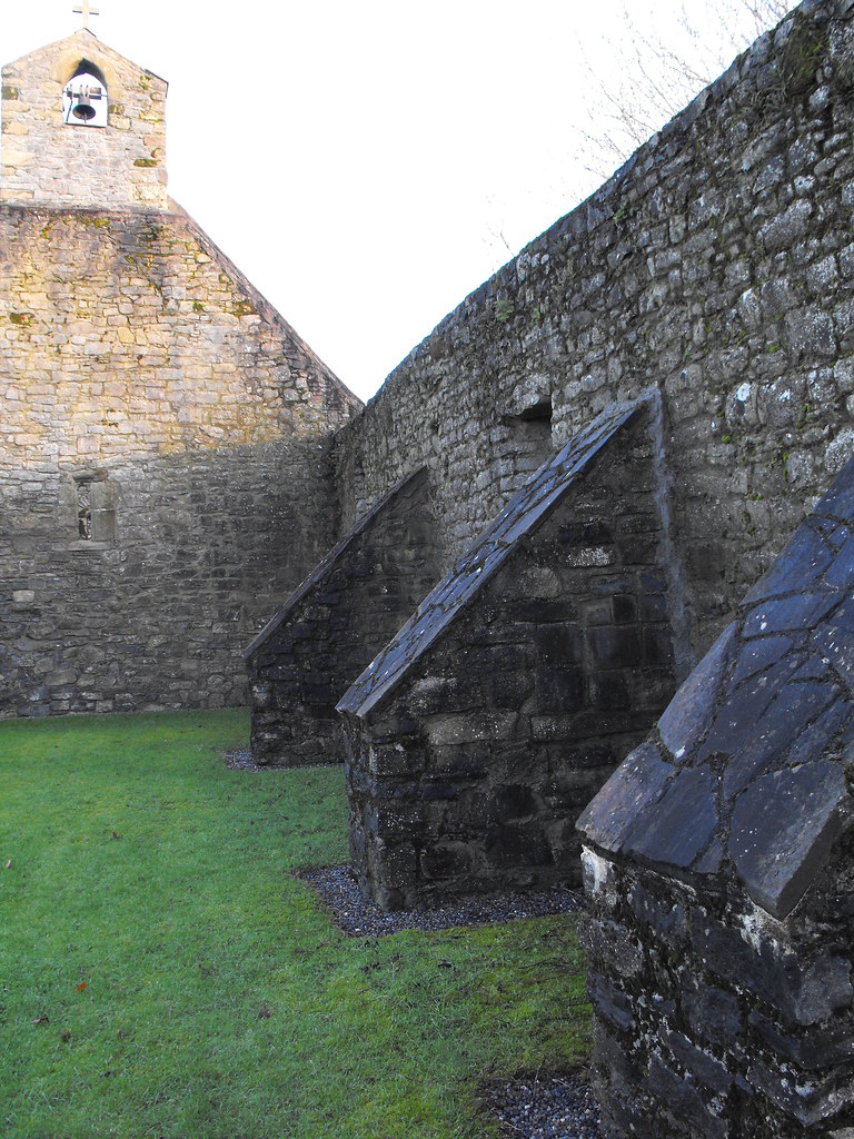
Description and History – This is a nice little ruin that is well looked after. It is still a used graveyard and the church has been conserved somewhat. The present remains consist of a nave and chancel and all of the S and most of the E walls. The N wall has been rebuilt. The bellcote and piscina still survive. There are also small round headed windows in the ruin as well. The graveyard has some very ornate graves which are worth viewing and there is a small undecorated cross that maybe medieval in date but I cannot find any literature on it. Although this church is dated to the later medieval period it was mentioned in the Calendar of Ormond Deeds in 1262. Due to the proximity of the many early Christian foundations in the nearby area I suspect this may be the site of an early Christian foundation also, but this is really speculation.

Difficulty – Easy enough to get to, although the gate is a little tricky to spot. Be careful on this stretch of road as the cars race around here and it is always fairly busy.

For more ecclesiastical sites, click here.
For more sites in Co. Carlow, click here.

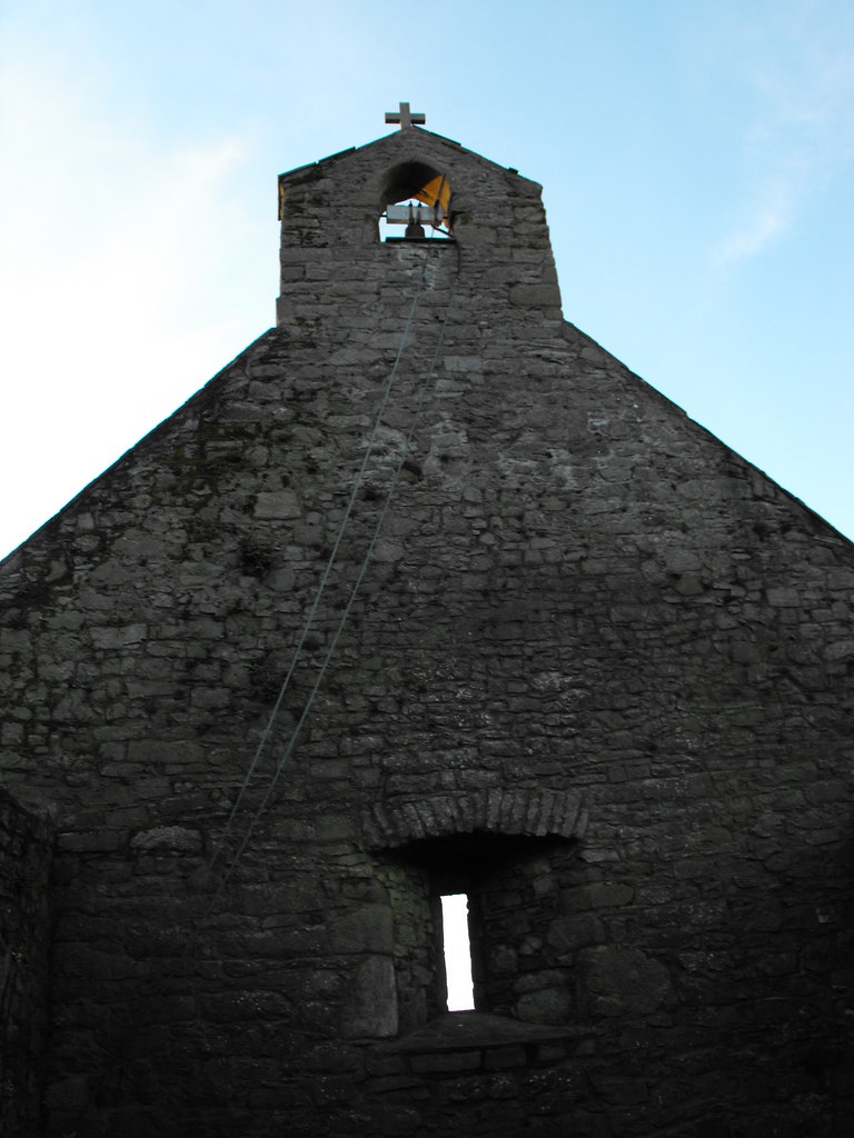
The bellcote is still used.
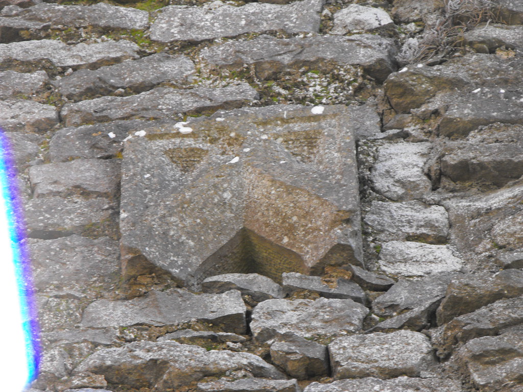
The piscina.

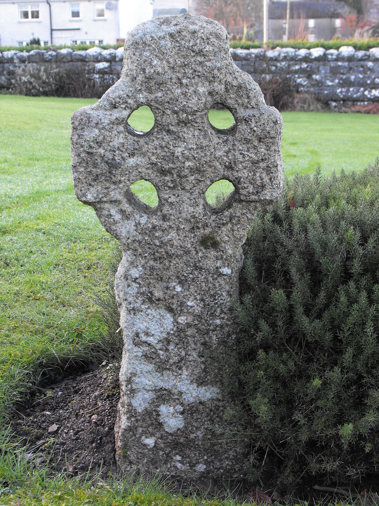
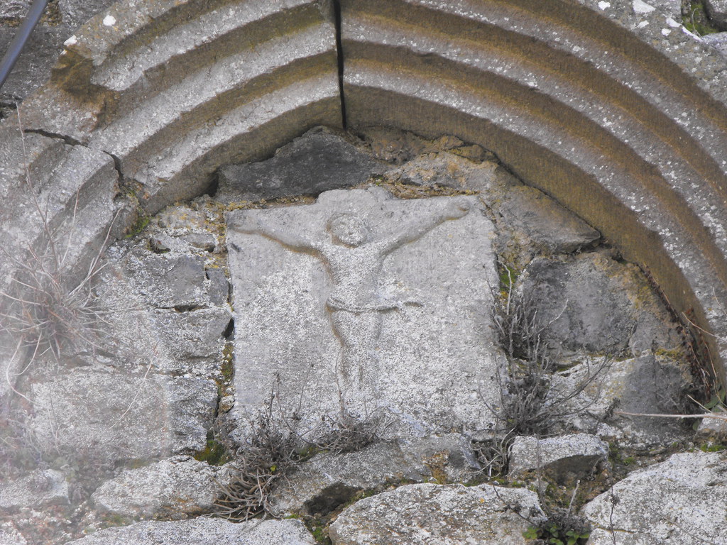
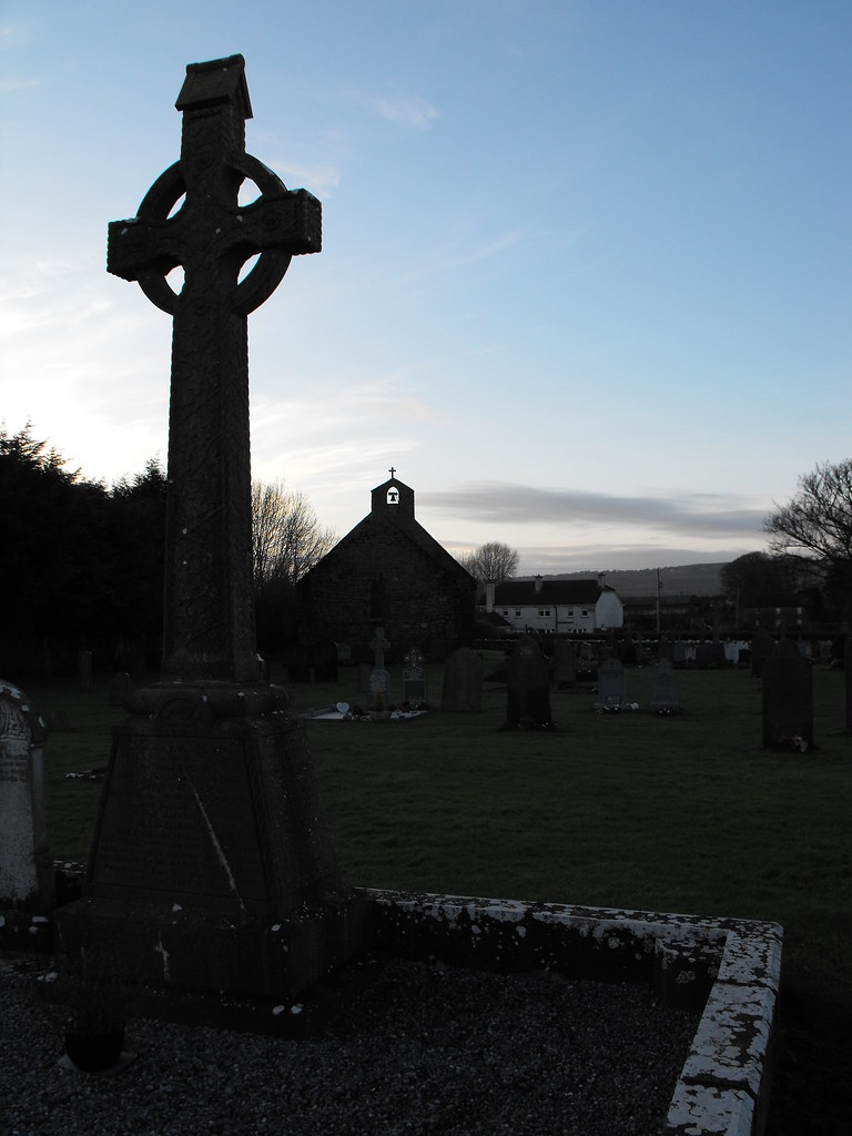
Possible medieval cross.


View The Standing Stone in a larger map

Duntryleague, Cairn, Co. Limerick.

Location – Near the Galbally in South Limerick and can be easily reached from either the R663 or the R662.  This monument is open to the public although it is a little bit of a climb but too bad. Best to bring your OS map or follow the GPS co-ordinates. There is a small car-park and hand-painted sign to it. Once you get onto the track, just keep going straight. You will cross a small track for forestry vehicles but just keep going up. Eventually you will get to a turning to the right which will take you to the cairn. If you carry on you will end up at the nearby passage tomb.

OS: R 781 283 (map 73)
Longitude: 8° 19' 18.7" W
Latitude: 52° 24' 22.07" N
GPS: R 78098 28328 (Accuracy – 2m)
See map at the bottom of the page.

Description and History – I have a feeling that if all the brambles and heather were cleared away it would be a nice cairn and I think it also kerbed. I haven’t read anywhere that it is kerbed but there are some larger stones around the edge but it would need some clearing to find this out. The cairn is around 15m in diameter and is about 1m high. There is a clearing in the middle of the cairn and as you will see in the photos below there is a small upright pillar in the middle. Don’t be deceived it is not genuine and just a piece of stone that someone put up recently. It is only about 2 inches into the ground. I probably should have removed it myself but if someone felt the need to climb up there to stand up a piece of stone then I guess it doesn’t do any harm, although maybe this should have been done outside of the cairn so that the person wouldn’t have had to dig into the cairn. This is worth a visit of you are going to the nearby tomb.

Difficulty – It’s a bit of a climb to get up there but it isn’t really too bad.

For more cairns, click here.
For more sites in Co. Limerick, click here.
 
 As you can see, it is fairly overgrown.

Is this a kerb stone?

Don't be fooled. It's not real.

You can see why they picked this location. There are some wonderful views.


View The Standing Stone in a larger map

Duntryleague, Passage Tomb, Co. Limerick.

Location – Near Galbally in South Limerick and can be easily reached from either the R663 or the R662.  This monument is open to the public although it is a little bit of a climb but not too bad. Best to bring your OS map or follow the GPS co-ordinates. There is a small car-park and hand-painted sign to it. Once you get onto the track, just keep going straight. You will cross a small track for forestry vehicles but just keep going up. Eventually you will get to a turning to the right which will take you to the nearby cairn but if you keep going you will cross the top of the hill and see the tomb to your left.

OS: R 779 284 (map 73)
Longitude: 8° 19' 27.02" W
Latitude: 52° 24' 24.35" N
GPS: R 77941 28399 (Accuracy – 5m)
See map at the bottom of the page.

Description and History – This tomb is spectacular and is well worth the climb which, although not too far, is up all the way with no reprieve so it takes the wind out of you. You approach the tomb from behind it and it looks like a mess but when you get to the front you realise how intact it actually is. The covering cairn is now missing but about 75% of the main passage still has capstones and you can get right inside the main chamber although of you are tall like me you will have to stoop. There are also two side chambers which are a little hard to spot. The first still has a capstone but is too small to get inside and the second is partially buried with no capstone. There are also many stone that would have been part of a facade. I imagine it was quite a sight when it was complete. It is aligned N-S which suggests that it doesn’t have any particular special solar or lunar alignment.

Difficulty – It is a little tricky to find the carpark but easy to find the tomb once you get onto the path. It is an upward climb but not too bad really. There are benches on the way up so you can stop when you want.

For more Neolithic tombs, click here.
For more in Co. Limerick, click here.

As seen from the direction you approach from.

Looking at the front of the tomb.

With me sat in for scale.

Looking down on the passage and façade.


The main chamber.

There are two good sized capstones on this monument.


View The Standing Stone in a larger map

Hospital, Church, Co. Limerick.

Location – In Hospital town, on the R513.
OS: R 706 362 (map 65)
Longitude: 8° 25' 57.85" W
Latitude: 52° 28' 35.5" N
GPS: R 70658 36091 (Accuracy: 10m)
See map at the bottom of the page.

Description and History – This is a very nice and very interesting ruin which feels more like a castle than a church. The church was founded by Geoffrey de Marisco as a commandery of the knights Hospitallers who had owned land around Cathair Aine since 1200. The church was dissolved in 1540 and then leased, along with its contents, to William Apsley and then to the Browne family. When you look at this church you can immediately see that it was built for defence with high walls, prominent base batter and narrow arched windows. A partially destroyed tower sits at the Western end of the church with a partial barrel vault, now a grotto, on the second floor. There may be a barrel vault on the ground floor of the tower also but this was inaccessible. Also in the W wall is a medieval carving of the crucifixion which is not in its original location. There are other architectural fragments set into this wall. On the interior of the E wall are two medieval tombs, both sitting upright and not in their original location. One is a double tomb depicting a knight and his wife which is largely destroyed. The second, and largely intact tomb, may depict the founder of the church, Geoffrey de Marisco. This is a fascinating and singular ruin and well worth visiting.

Difficulty – Easy to get to with ample parking. The ruin is kept locked but the interior can be viewed from the accessible second floor shrine. I suspect the adjacent modern church has the key, but when I was there I couldn’t find anybody to ask. Maybe you will have better luck.

For more ecclesiastical sites, click here.
For more sites in Co. Limerick, click here.

The West wall.

The tower at the Western wall.

The E wall.

Most of the windows have been partially broken out.

I would love to get in there to have a proper look around.

There's a lot going on here and it's a little hard to make out what it must have been like.

The barrel vault on the first floor that now houses a shrine.

The base batter.

Architectural fragments now placed into the Western wall.

The crucifixion on the W wall.

The remaining top half of the tomb of a knight and his wife.

The tomb of the church founder, Geoffrey de Marisco.


View The Standing Stone in a larger map